168 S Peak Rd Lincoln, NH 03251
Estimated Value: $2,505,999 - $2,666,000
5
Beds
5
Baths
2,493
Sq Ft
$1,047/Sq Ft
Est. Value
About This Home
This home is located at 168 S Peak Rd, Lincoln, NH 03251 and is currently estimated at $2,610,000, approximately $1,046 per square foot. 168 S Peak Rd is a home with nearby schools including Lin-Wood Public Elementary School.
Ownership History
Date
Name
Owned For
Owner Type
Purchase Details
Closed on
Nov 13, 2006
Sold by
Centex Homes
Bought by
Bogar Mark A and Bogar Paula M
Current Estimated Value
Home Financials for this Owner
Home Financials are based on the most recent Mortgage that was taken out on this home.
Original Mortgage
$378,000
Interest Rate
7%
Mortgage Type
Adjustable Rate Mortgage/ARM
Create a Home Valuation Report for This Property
The Home Valuation Report is an in-depth analysis detailing your home's value as well as a comparison with similar homes in the area
Home Values in the Area
Average Home Value in this Area
Purchase History
| Date | Buyer | Sale Price | Title Company |
|---|---|---|---|
| Bogar Mark A | $420,000 | -- | |
| Bogar Mark A | $420,000 | -- | |
| Bogar Mark A | $420,000 | -- |
Source: Public Records
Mortgage History
| Date | Status | Borrower | Loan Amount |
|---|---|---|---|
| Open | Bogar Mark A | $225,500 | |
| Open | Bogar Mark A | $417,000 | |
| Closed | Bogar Mark A | $378,000 |
Source: Public Records
Tax History Compared to Growth
Tax History
| Year | Tax Paid | Tax Assessment Tax Assessment Total Assessment is a certain percentage of the fair market value that is determined by local assessors to be the total taxable value of land and additions on the property. | Land | Improvement |
|---|---|---|---|---|
| 2024 | $18,982 | $1,625,200 | $861,700 | $763,500 |
| 2023 | $18,982 | $1,625,200 | $861,700 | $763,500 |
| 2022 | $17,146 | $1,625,200 | $861,700 | $763,500 |
| 2021 | $16,817 | $1,595,500 | $832,000 | $763,500 |
| 2018 | $14,018 | $990,000 | $303,300 | $686,700 |
| 2016 | $13,058 | $990,000 | $303,300 | $686,700 |
| 2015 | $11,803 | $856,500 | $299,500 | $557,000 |
| 2014 | $11,820 | $856,500 | $299,500 | $557,000 |
| 2009 | $6,831 | $749,840 | $420,080 | $329,760 |
Source: Public Records
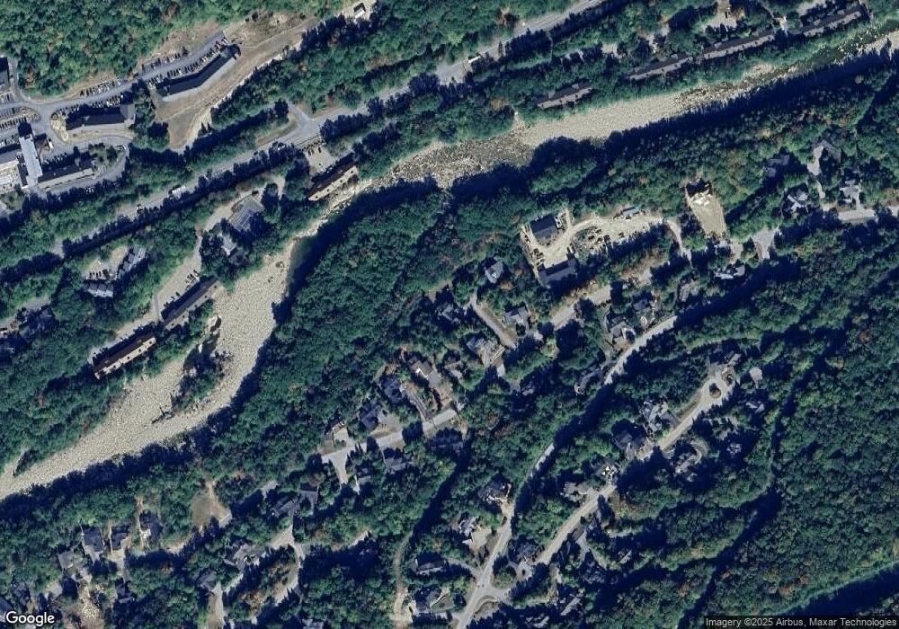
Map
Nearby Homes
- 57 W Branch Rd Unit 7
- 39.17 S Peak Rd
- 39.16 S Peak Rd
- 139 S Peak Rd
- 227 S Peak Rd
- 254 S Peak Rd
- 36 Lodge Rd Unit D213
- 36 Lodge Rd Unit C-313
- 36 Lodge Rd Unit 102
- 36 Lodge Rd Unit D115
- 79 Flume Rd
- 130 Friendship Ct
- 302 S Peak Rd
- 227 Main St Unit 231
- 227 Main St Unit 305
- 227 Main St Unit 106
- 227 Main St Unit 235
- 227 Main St Unit 224
- 4 Firelight Ln Unit 4B
- 51 Pollard Rd Unit 1
- 172 S Peak Rd
- Lot 172 S Peak Rd
- 172 S Peak Rd Unit home site 11
- 166 S Peak Rd
- 170 S Peak Rd
- 170 S Peak Rd Unit 10
- 171 S Peak Rd
- 171 S Peak Rd Unit 53
- 174 S Peak Rd
- 165 S Peak Rd (Lot #51)
- 175 South Peak 54
- 180 S Peak Rd
- 175 S Peak Rd
- 175 S Peak Rd Unit 54
- 165 Connector Rd
- 179 S Peak Rd Unit 55
- 179 S Peak Rd Unit ID1262023P
- 179 S Peak Rd
- 14 S Peak
- 14 S Reak Rd