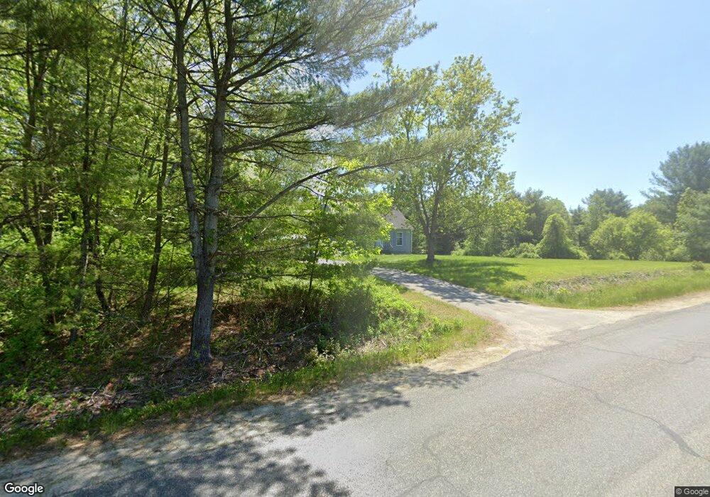
168 Stevenstown Rd Litchfield, ME 04350
Estimated Value: $290,757 - $331,000
2
Beds
1
Bath
1,024
Sq Ft
$305/Sq Ft
Est. Value
About This Home
This home is located at 168 Stevenstown Rd, Litchfield, ME 04350 and is currently estimated at $311,939, approximately $304 per square foot. 168 Stevenstown Rd is a home located in Kennebec County with nearby schools including Libby-Tozier School, Sabattus Primary School, and Carrie Ricker School.
Ownership History
Date
Name
Owned For
Owner Type
Purchase Details
Closed on
Jan 15, 2021
Sold by
Brann Kenneth E
Bought by
Shannon Antoinette and Shannon Michaela
Current Estimated Value
Create a Home Valuation Report for This Property
The Home Valuation Report is an in-depth analysis detailing your home's value as well as a comparison with similar homes in the area
Home Values in the Area
Average Home Value in this Area
Purchase History
| Date | Buyer | Sale Price | Title Company |
|---|---|---|---|
| Shannon Antoinette | -- | None Available |
Source: Public Records
Tax History Compared to Growth
Tax History
| Year | Tax Paid | Tax Assessment Tax Assessment Total Assessment is a certain percentage of the fair market value that is determined by local assessors to be the total taxable value of land and additions on the property. | Land | Improvement |
|---|---|---|---|---|
| 2024 | $2,636 | $185,000 | $56,100 | $128,900 |
| 2023 | $2,498 | $185,000 | $56,100 | $128,900 |
| 2022 | $2,424 | $154,200 | $46,700 | $107,500 |
| 2021 | $2,179 | $154,200 | $46,700 | $107,500 |
| 2020 | $2,190 | $154,200 | $46,700 | $107,500 |
| 2019 | $2,159 | $154,200 | $46,700 | $107,500 |
| 2018 | $1,705 | $105,593 | $41,425 | $64,168 |
| 2017 | $1,705 | $105,593 | $41,425 | $64,168 |
| 2016 | $1,718 | $106,359 | $41,425 | $64,934 |
| 2015 | $1,654 | $106,359 | $41,425 | $64,934 |
| 2014 | $1,527 | $107,125 | $41,425 | $65,700 |
| 2013 | $1,318 | $107,125 | $41,425 | $65,700 |
Source: Public Records
Map
Nearby Homes
- 998 Lewiston Rd
- 3 Balsam Ln
- Lot 12 Hallowell Rd
- 0 Hallowell Rd Unit 1627507
- 58 Military Ln
- Lot 8D Hallowell Rd
- 476 Pine Tree Rd
- 90 Mallard Dr
- 525 Plains Rd
- 1145 Brunswick Rd
- 47 Fickett Dr
- TBD 1st St
- 857 Brunswick Rd
- 18 Huntington Hill Rd
- 0 Route 9-126 Litchfield Dr Unit 1604469
- 0 Rd Unit 1590643
- 766 Brunswick Rd
- 151 Johnson Ln
- 47 Adams Ln
- 105 Whippoorwill Rd
- 151 Stevenstown Rd
- 142 Stevenstown Rd
- 2 Turtle Cove Ln
- 204 Stevenstown Rd
- 249 Stevenstown Rd
- 77 Tutt Ln
- 136 Stevenstown Rd
- 136 Stevenstown Rd
- 126 Stevenstown Rd
- 73 Tutt Ln
- 218 Stevenstown Rd
- 118 Stevenstown Rd
- 232 Stevenstown Rd
- 232 Stevenstown Rd
- 232 Stevenstown Rd
- 50 Tutt Ln
- 30 Turtle Cove Ln
- 45 Penney Ln
- 281 Stevenstown Rd
- 140 Stevenstown Rd