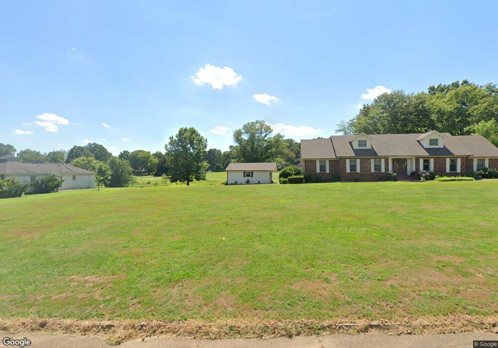
168 Weldon Dr Martin, TN 38237
Estimated Value: $378,000 - $417,000
5
Beds
3
Baths
3,870
Sq Ft
$103/Sq Ft
Est. Value
About This Home
This home is located at 168 Weldon Dr, Martin, TN 38237 and is currently estimated at $398,094, approximately $102 per square foot. 168 Weldon Dr is a home located in Weakley County with nearby schools including Unity Christian School.
Ownership History
Date
Name
Owned For
Owner Type
Purchase Details
Closed on
Nov 5, 2015
Sold by
Dodge N P Jr Trustee
Bought by
Norton Michael B Christy L
Current Estimated Value
Purchase Details
Closed on
Aug 10, 2015
Sold by
Anderson Michael J
Bought by
Dodge N P Jr And Delperdang Leslie A Tru and C/O Nei Global Relocation Co
Purchase Details
Closed on
Aug 26, 2013
Sold by
Hall Mary Lee
Bought by
Anderson Michael J and Anderson Sarah L
Home Financials for this Owner
Home Financials are based on the most recent Mortgage that was taken out on this home.
Original Mortgage
$168,000
Interest Rate
4.31%
Mortgage Type
Commercial
Purchase Details
Closed on
Oct 2, 2003
Sold by
Davis Charles S
Bought by
Hall James D
Purchase Details
Closed on
Jul 1, 1999
Sold by
Smith Robert M
Bought by
Charles Davis and Charles Karen
Create a Home Valuation Report for This Property
The Home Valuation Report is an in-depth analysis detailing your home's value as well as a comparison with similar homes in the area
Home Values in the Area
Average Home Value in this Area
Purchase History
| Date | Buyer | Sale Price | Title Company |
|---|---|---|---|
| Norton Michael B Christy L | $197,000 | -- | |
| Dodge N P Jr And Delperdang Leslie A Tru | $227,500 | -- | |
| Anderson Michael J | $210,000 | -- | |
| Hall James D | $215,000 | -- | |
| Charles Davis | $181,500 | -- |
Source: Public Records
Mortgage History
| Date | Status | Borrower | Loan Amount |
|---|---|---|---|
| Previous Owner | Anderson Michael J | $168,000 |
Source: Public Records
Tax History Compared to Growth
Tax History
| Year | Tax Paid | Tax Assessment Tax Assessment Total Assessment is a certain percentage of the fair market value that is determined by local assessors to be the total taxable value of land and additions on the property. | Land | Improvement |
|---|---|---|---|---|
| 2024 | -- | $84,025 | $7,500 | $76,525 |
| 2023 | $2,536 | $84,025 | $7,500 | $76,525 |
| 2022 | $1,990 | $53,400 | $6,000 | $47,400 |
| 2021 | $1,990 | $53,400 | $6,000 | $47,400 |
| 2020 | $1,990 | $53,400 | $6,000 | $47,400 |
| 2019 | $1,803 | $53,400 | $6,000 | $47,400 |
| 2018 | $1,803 | $53,400 | $6,000 | $47,400 |
| 2017 | $1,806 | $49,725 | $5,000 | $44,725 |
| 2016 | $1,806 | $49,725 | $0 | $0 |
| 2015 | $1,806 | $49,736 | $0 | $0 |
| 2014 | $1,806 | $49,736 | $0 | $0 |
Source: Public Records
Map
Nearby Homes
- 148 Parish Road (Tract 6)
- 148 Parish Road (Tract 4)
- 148 Parrish Road (Tract 3)
- 826 N Lindell St
- 828 N Lindell St
- 151 Cherokee Dr
- 124 Cherokee Dr
- 146 Maywood Dr
- 0 N Lindell St Unit RRA38831
- 0 N Lindell St Unit 176005
- 0 N Lindell St Unit RRA45193
- 0 N Lindell St
- 12276 Highway 45
- 16 Oakfield Dr
- 78 Smith St
- 137 Haygood Rd
- 0 Fulton St
- 106 Volunteer Dr
- 110 Carter St
- 0 N Mccombs St Unit RRA43575