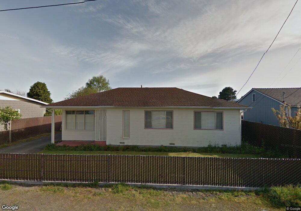
1680 29th St Arcata, CA 95521
Westwood-Vasside NeighborhoodEstimated Value: $400,841 - $478,000
Studio
--
Bath
--
Sq Ft
9,757
Sq Ft Lot
About This Home
This home is located at 1680 29th St, Arcata, CA 95521 and is currently estimated at $424,460. 1680 29th St is a home located in Humboldt County with nearby schools including Pacific Union Elementary School, Arcata High School, and Trillium Charter School.
Ownership History
Date
Name
Owned For
Owner Type
Purchase Details
Closed on
Aug 20, 2007
Sold by
Mauro & Carol Battilocchi Living Trust
Bought by
Battilocchi Shannon
Current Estimated Value
Home Financials for this Owner
Home Financials are based on the most recent Mortgage that was taken out on this home.
Original Mortgage
$70,000
Outstanding Balance
$44,343
Interest Rate
6.67%
Mortgage Type
Purchase Money Mortgage
Estimated Equity
$380,117
Purchase Details
Closed on
May 16, 2007
Sold by
Battilocchi Mauro
Bought by
Battilocchi Mauro Carlo and Battilocchi Carol Ann
Create a Home Valuation Report for This Property
The Home Valuation Report is an in-depth analysis detailing your home's value as well as a comparison with similar homes in the area
Home Values in the Area
Average Home Value in this Area
Purchase History
| Date | Buyer | Sale Price | Title Company |
|---|---|---|---|
| Battilocchi Shannon | $162,500 | First American Title Co | |
| Battilocchi Mauro Carlo | -- | None Available |
Source: Public Records
Mortgage History
| Date | Status | Borrower | Loan Amount |
|---|---|---|---|
| Open | Battilocchi Shannon | $70,000 |
Source: Public Records
Tax History
| Year | Tax Paid | Tax Assessment Tax Assessment Total Assessment is a certain percentage of the fair market value that is determined by local assessors to be the total taxable value of land and additions on the property. | Land | Improvement |
|---|---|---|---|---|
| 2025 | $2,561 | $230,834 | $103,914 | $126,920 |
| 2024 | $2,561 | $226,309 | $101,877 | $124,432 |
| 2023 | $2,559 | $221,873 | $99,880 | $121,993 |
| 2022 | $2,542 | $217,523 | $97,922 | $119,601 |
| 2021 | $2,526 | $213,258 | $96,002 | $117,256 |
| 2020 | $2,381 | $211,072 | $95,018 | $116,054 |
| 2019 | $2,343 | $206,934 | $93,155 | $113,779 |
| 2018 | $2,192 | $202,878 | $91,329 | $111,549 |
| 2017 | $2,158 | $198,901 | $89,539 | $109,362 |
| 2016 | $2,097 | $195,002 | $87,784 | $107,218 |
| 2015 | $2,059 | $192,074 | $86,466 | $105,608 |
| 2014 | $2,028 | $188,313 | $84,773 | $103,540 |
Source: Public Records
Map
Nearby Homes
- 3030 Alliance Rd
- 1254 Mccallum Cir
- 3028 Alliance Rd
- 3301 Antoinette Ct
- 3659 Spear Ave
- 2700 Meadow Creek Way
- 3122 St Louis Rd
- 1666 Stewart Ave
- 3106 Brian Ct
- 812 Diamond Dr
- 2084 Mustang Ln
- 330 California Ave
- 2203 Appaloosa Ln
- 3735 Shetland Ln
- 2078 Shetland Ln
- 1096 Diamond Dr
- 119 Sylva St
- 113 Sylva St
- 1082 Cedar Dr
- 1346 Diamond Dr
Your Personal Tour Guide
Ask me questions while you tour the home.