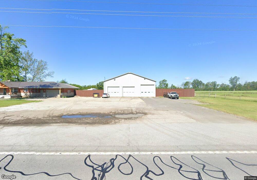
16802 S Us Highway 421 Wanatah, IN 46390
Estimated Value: $331,000 - $412,000
5
Beds
2
Baths
1,860
Sq Ft
$200/Sq Ft
Est. Value
About This Home
This home is located at 16802 S Us Highway 421, Wanatah, IN 46390 and is currently estimated at $372,452, approximately $200 per square foot. 16802 S Us Highway 421 is a home located in LaPorte County.
Ownership History
Date
Name
Owned For
Owner Type
Purchase Details
Closed on
Sep 20, 2017
Sold by
Brannen John M
Bought by
Hines Allen P
Current Estimated Value
Home Financials for this Owner
Home Financials are based on the most recent Mortgage that was taken out on this home.
Original Mortgage
$199,500
Outstanding Balance
$166,417
Interest Rate
3.86%
Mortgage Type
New Conventional
Estimated Equity
$206,035
Purchase Details
Closed on
Jan 30, 2013
Sold by
Brannen John M and Brannen Hong S
Bought by
Brannen Hong S and Brannen John M
Purchase Details
Closed on
Jul 29, 2009
Sold by
Bailey Duane and Bailey Duane W
Bought by
Brannen John M and Brannen Hong S
Create a Home Valuation Report for This Property
The Home Valuation Report is an in-depth analysis detailing your home's value as well as a comparison with similar homes in the area
Home Values in the Area
Average Home Value in this Area
Purchase History
| Date | Buyer | Sale Price | Title Company |
|---|---|---|---|
| Hines Allen P | -- | None Available | |
| Brannen Hong S | -- | None Available | |
| Brannen John M | -- | Ticor Title Insurance Co |
Source: Public Records
Mortgage History
| Date | Status | Borrower | Loan Amount |
|---|---|---|---|
| Open | Hines Allen P | $199,500 |
Source: Public Records
Tax History Compared to Growth
Tax History
| Year | Tax Paid | Tax Assessment Tax Assessment Total Assessment is a certain percentage of the fair market value that is determined by local assessors to be the total taxable value of land and additions on the property. | Land | Improvement |
|---|---|---|---|---|
| 2024 | $1,543 | $236,000 | $50,000 | $186,000 |
| 2022 | $1,757 | $208,400 | $37,500 | $170,900 |
| 2021 | $1,757 | $200,000 | $37,500 | $162,500 |
| 2020 | $1,669 | $200,000 | $37,500 | $162,500 |
| 2019 | $1,558 | $194,200 | $33,500 | $160,700 |
| 2018 | $1,469 | $187,700 | $33,500 | $154,200 |
| 2017 | $1,542 | $199,000 | $33,500 | $165,500 |
| 2016 | $2,530 | $190,800 | $33,500 | $157,300 |
| 2014 | $2,150 | $161,500 | $60,000 | $101,500 |
Source: Public Records
Map
Nearby Homes
- 6948 W 1700 S
- 201 E Oneida St
- 202 Genesse St
- 601 E Main St
- 802 W Main St
- 627 E 300 S
- 9052 W Saint Road 8
- 308 Mill St
- 0 W Hwy 30 Unit GNR545374
- 106 N Illinois St Unit 266
- 104 W Cross St
- 305 N Ohio St
- 207 N Washington St
- 116 Sprunger Dr
- 627 Fieldcrest Cir
- 105 Earl St
- 14501 S 400 W
- 421 Amy Rose Ln
- 114 E Jersey St
- 307 N Pennsylvania St
- 16802 S Us Highway 421
- 16792 S Us Highway 421
- 16711 S Us Highway 421
- 16751 S Us Highway 421
- 16751 S Us Highway 421
- 16903 S Us Highway 421
- 10002 W 1700 S
- 9917 W 1700 S
- 17101 S Us Hwy 421
- 17101 S Us Highway 421
- 17101 U S 421
- 10252 W 1700 S
- 16881 S 1050 W
- 16302 S Us Highway 421
- 16808 S 1050 W
- 17302 S Us Highway 421
- 9955 W 1700 S
- 9923 W 1700 S
- 16996 S 1050 W
- 16554 S 1050 W