16806 US Highway 20a West Unity, OH 43570
Estimated Value: $259,145 - $295,000
3
Beds
3
Baths
1,982
Sq Ft
$139/Sq Ft
Est. Value
About This Home
This home is located at 16806 US Highway 20a, West Unity, OH 43570 and is currently estimated at $275,536, approximately $139 per square foot. 16806 US Highway 20a is a home located in Williams County with nearby schools including Hilltop Elementary School and Hilltop High School.
Ownership History
Date
Name
Owned For
Owner Type
Purchase Details
Closed on
Oct 9, 2013
Sold by
Thomas Terry A
Bought by
Thomas Terry A and Thomas Deanna D
Current Estimated Value
Purchase Details
Closed on
Nov 29, 2011
Sold by
Pollock James W and Pollock Patti S
Bought by
Thomas Terry A
Purchase Details
Closed on
Dec 17, 2010
Sold by
Williams Patricia M and Williams James A
Bought by
Pollock James W and Pollock Patis S
Home Financials for this Owner
Home Financials are based on the most recent Mortgage that was taken out on this home.
Original Mortgage
$138,500
Interest Rate
4.44%
Mortgage Type
New Conventional
Purchase Details
Closed on
May 26, 2009
Sold by
Collins Kent F and Collins Gayle L
Bought by
Williams Patricia M and Williams James A
Purchase Details
Closed on
Oct 27, 2003
Sold by
Krotzer Hal W and Krotzer Susan M
Bought by
Williams Patricia M and Williams James A
Purchase Details
Closed on
Jan 1, 1990
Bought by
Krotzer Hal W and Krotzer Susan M
Create a Home Valuation Report for This Property
The Home Valuation Report is an in-depth analysis detailing your home's value as well as a comparison with similar homes in the area
Home Values in the Area
Average Home Value in this Area
Purchase History
| Date | Buyer | Sale Price | Title Company |
|---|---|---|---|
| Thomas Terry A | -- | None Available | |
| Thomas Terry A | $149,500 | None Available | |
| Pollock James W | $125 | None Available | |
| Williams Patricia M | -- | None Available | |
| Williams Patricia M | $143,000 | -- | |
| Krotzer Hal W | -- | -- |
Source: Public Records
Mortgage History
| Date | Status | Borrower | Loan Amount |
|---|---|---|---|
| Previous Owner | Pollock James W | $138,500 |
Source: Public Records
Tax History Compared to Growth
Tax History
| Year | Tax Paid | Tax Assessment Tax Assessment Total Assessment is a certain percentage of the fair market value that is determined by local assessors to be the total taxable value of land and additions on the property. | Land | Improvement |
|---|---|---|---|---|
| 2024 | $2,816 | $77,420 | $6,440 | $70,980 |
| 2023 | $2,816 | $60,270 | $6,160 | $54,110 |
| 2022 | $2,596 | $60,270 | $6,160 | $54,110 |
| 2021 | $2,596 | $60,270 | $6,160 | $54,110 |
| 2020 | $2,258 | $51,070 | $5,220 | $45,850 |
| 2019 | $2,244 | $51,070 | $5,220 | $45,850 |
| 2018 | $2,271 | $51,070 | $5,220 | $45,850 |
| 2017 | $2,104 | $47,750 | $5,220 | $42,530 |
| 2016 | $2,002 | $47,750 | $5,220 | $42,530 |
| 2015 | $2,180 | $47,750 | $5,220 | $42,530 |
| 2014 | $2,180 | $47,750 | $5,220 | $42,530 |
| 2013 | $2,154 | $47,750 | $5,220 | $42,530 |
Source: Public Records
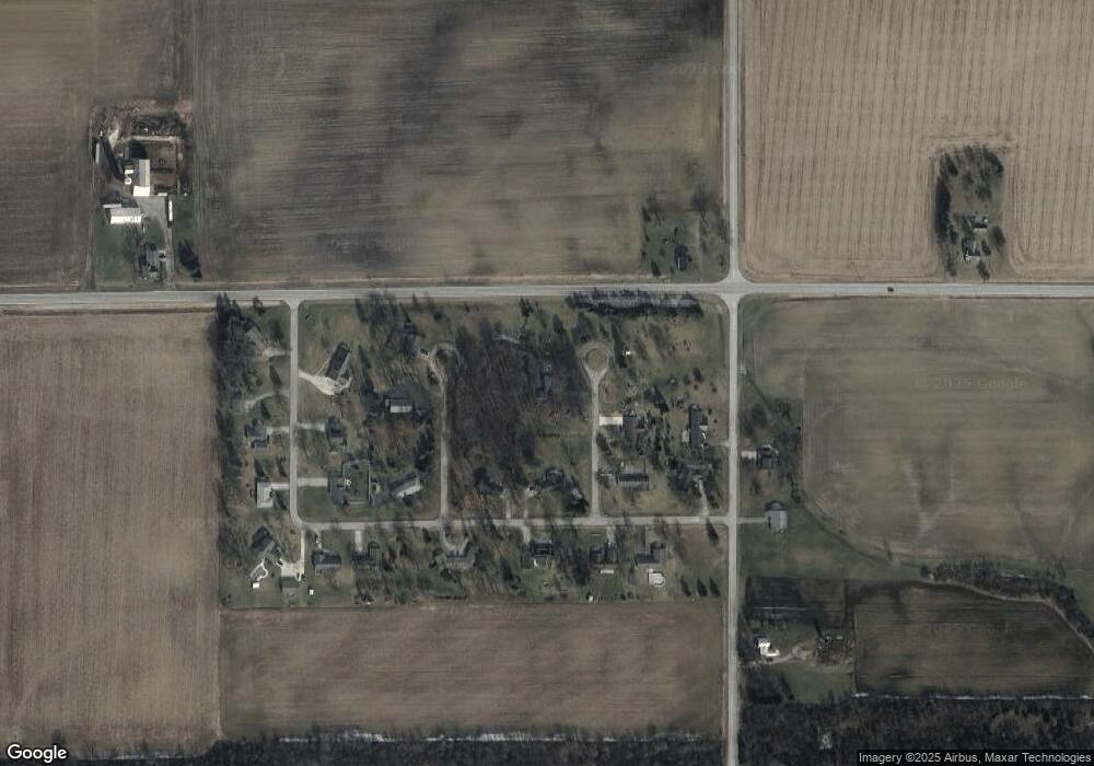
Map
Nearby Homes
- 16806 US Highway 20a
- 15664 County Road K
- 205 Taylor Dr
- 0 St Rt 15 Unit 10001011
- 10628 Ohio 15
- 311 W Rings St
- 340 S Main St
- 000 W Jackson
- 15390 16 Rd
- 18 Cobblestone Rd
- 1070 E Meadow Cir
- 1454 Whitaker Way
- 620 E Washington St
- 11977 County Road J
- 22227 Us Highway 20a
- 426 E Water St
- 500 E Court St
- 304 E Court St
- 13 W Brown Rd
- 00 W Brown Rd
- 16806 US Highway 20a
- 16806 US Highway 20a
- 16806 US Highway 20a
- 16806 US Highway 20a
- 16806 US Highway 20a
- 16806 US Highway 20a
- 16806 US Highway 20a
- 16806 US Highway 20a
- 16806 US Highway 20a
- 16806 US Highway 20a
- 16806 US Highway 20a
- 16806 US Highway 20a
- 16806 US Highway 20a
- 16806 US Highway 20a
- 16806 US Highway 20a
- 16806 US Highway 20a
- 16806 US Highway 20a
- 16806 US Highway 20a
- 16806 US Highway 20a
- 16806 US Highway 20a