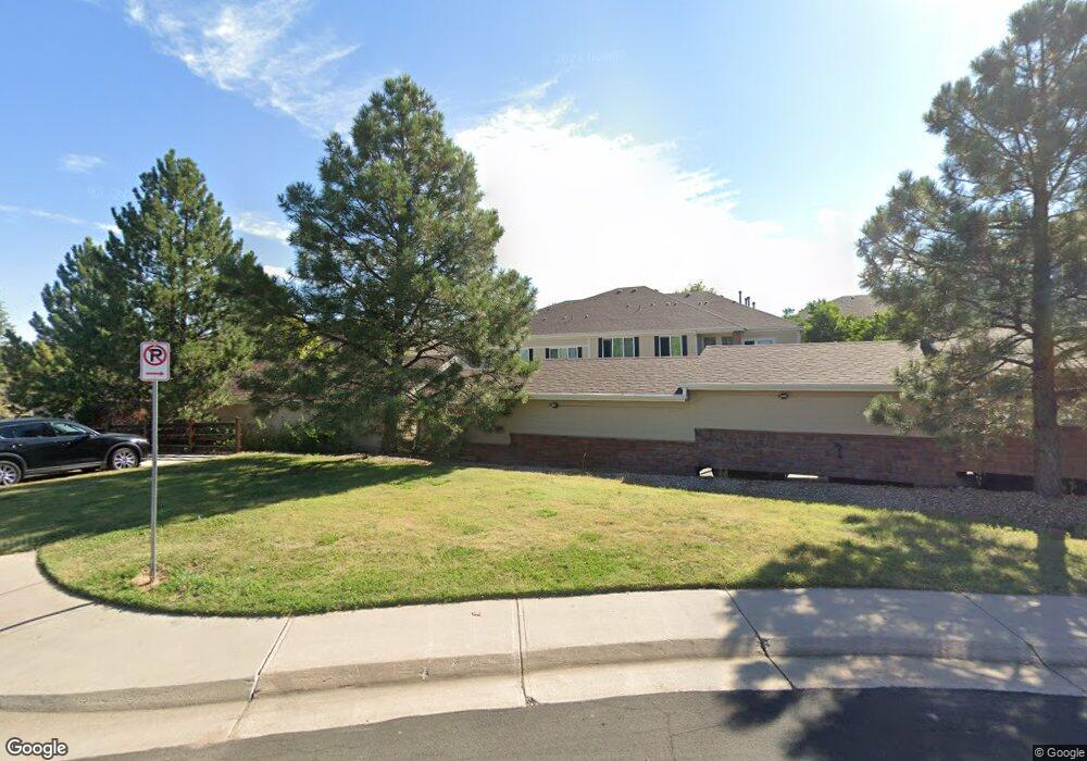
16808 E Gunnison Dr Unit 6B Aurora, CO 80017
Rocky Ridge NeighborhoodEstimated Value: $278,940 - $300,000
2
Beds
2
Baths
1,176
Sq Ft
$245/Sq Ft
Est. Value
About This Home
This home is located at 16808 E Gunnison Dr Unit 6B, Aurora, CO 80017 and is currently estimated at $287,735, approximately $244 per square foot. 16808 E Gunnison Dr Unit 6B is a home located in Arapahoe County with nearby schools including Iowa Elementary School, Mrachek Middle School, and Gateway High School.
Ownership History
Date
Name
Owned For
Owner Type
Purchase Details
Closed on
Jun 8, 2019
Sold by
Scales Fred and Morrow Joel
Bought by
Scales Fred and Morrow Tara
Current Estimated Value
Purchase Details
Closed on
Apr 24, 2008
Sold by
Scales Fred
Bought by
Scales Fred and Morrow Joel
Purchase Details
Closed on
Sep 13, 2006
Sold by
Hud
Bought by
Scales Fred
Purchase Details
Closed on
Apr 30, 2001
Sold by
Silver Ridge I Llc
Bought by
Maez Monica D
Home Financials for this Owner
Home Financials are based on the most recent Mortgage that was taken out on this home.
Original Mortgage
$121,300
Interest Rate
6.81%
Mortgage Type
FHA
Create a Home Valuation Report for This Property
The Home Valuation Report is an in-depth analysis detailing your home's value as well as a comparison with similar homes in the area
Home Values in the Area
Average Home Value in this Area
Purchase History
| Date | Buyer | Sale Price | Title Company |
|---|---|---|---|
| Scales Fred | -- | None Available | |
| Scales Fred | -- | None Available | |
| Scales Fred | -- | American Title Service Co | |
| Maez Monica D | $143,357 | North American Title Co |
Source: Public Records
Mortgage History
| Date | Status | Borrower | Loan Amount |
|---|---|---|---|
| Previous Owner | Maez Monica D | $121,300 |
Source: Public Records
Tax History Compared to Growth
Tax History
| Year | Tax Paid | Tax Assessment Tax Assessment Total Assessment is a certain percentage of the fair market value that is determined by local assessors to be the total taxable value of land and additions on the property. | Land | Improvement |
|---|---|---|---|---|
| 2024 | $1,467 | $15,785 | -- | -- |
| 2023 | $1,467 | $15,785 | $0 | $0 |
| 2022 | $1,475 | $14,693 | $0 | $0 |
| 2021 | $1,523 | $14,693 | $0 | $0 |
| 2020 | $1,543 | $14,815 | $0 | $0 |
| 2019 | $1,534 | $14,815 | $0 | $0 |
| 2018 | $1,291 | $12,211 | $0 | $0 |
| 2017 | $1,123 | $12,211 | $0 | $0 |
| 2016 | $914 | $9,728 | $0 | $0 |
| 2015 | $882 | $9,728 | $0 | $0 |
| 2014 | $594 | $6,313 | $0 | $0 |
| 2013 | -- | $6,370 | $0 | $0 |
Source: Public Records
Map
Nearby Homes
- 1545 S Ouray Cir Unit A
- 1534 S Ouray Cir Unit B
- 1514 S Buckley Way
- 1728 S Ouray St
- 1740 S Ouray Ct
- 16602 E Gunnison Place
- 1656 S Mobile St
- 1701 S Pitkin St Unit 65
- 1750 S Norfolk St
- 16555 E Arkansas Ave
- 1736 S Pagosa Way Unit 72
- 1751 S Pitkin St Unit A
- 16800 E Bails Place
- 1755 S Pitkin St Unit A
- 1790 S Pitkin Cir Unit B
- 1757 S Pitkin St Unit A
- 16333 E Carolina Dr
- 1825 S Pitkin Cir Unit 10
- 1415 S Pitkin Ct
- 16634 E Louisiana Dr
- 16808 E Gunnison Dr Unit 6H
- 16808 E Gunnison Dr Unit 6G
- 16808 E Gunnison Dr Unit 6F
- 16808 E Gunnison Dr Unit 6E
- 16808 E Gunnison Dr Unit 6D
- 16808 E Gunnison Dr Unit 6C
- 16808 E Gunnison Dr Unit 6A
- 16808 E Gunnison Dr Unit 168086G
- 16828 E Gunnison Dr Unit H
- 16828 E Gunnison Dr Unit G
- 16828 E Gunnison Dr Unit 7F
- 16828 E Gunnison Dr Unit 7E
- 16828 E Gunnison Dr Unit D
- 16828 E Gunnison Dr Unit C
- 16828 E Gunnison Dr Unit 7B
- 16828 E Gunnison Dr Unit 7D
- 16828 E Gunnison Dr Unit A
- 16828 E Gunnison Dr Unit 7G
- 16828 E Gunnison Dr Unit 7H
- 16821 E Hawaii Dr Unit 3H