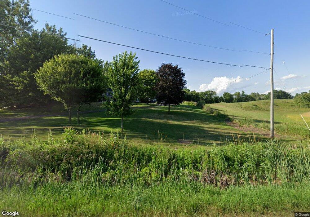
1681 17 Mile Rd NE Cedar Springs, MI 49319
Estimated Value: $498,000 - $621,000
--
Bed
2
Baths
2,288
Sq Ft
$242/Sq Ft
Est. Value
About This Home
This home is located at 1681 17 Mile Rd NE, Cedar Springs, MI 49319 and is currently estimated at $554,734, approximately $242 per square foot. 1681 17 Mile Rd NE is a home located in Kent County with nearby schools including Kent City Elementary School, Kent City Middle School, and Kent City High School.
Ownership History
Date
Name
Owned For
Owner Type
Purchase Details
Closed on
Jul 16, 2020
Sold by
Crapsey Jeffrey and Crapsey Gail
Bought by
Klein Jesse K and Klein Angela L
Current Estimated Value
Home Financials for this Owner
Home Financials are based on the most recent Mortgage that was taken out on this home.
Original Mortgage
$348,500
Outstanding Balance
$309,600
Interest Rate
3.2%
Mortgage Type
New Conventional
Estimated Equity
$245,134
Purchase Details
Closed on
Dec 6, 1996
Bought by
Crapsey Jeffrey and Crapsey Jeffrey
Create a Home Valuation Report for This Property
The Home Valuation Report is an in-depth analysis detailing your home's value as well as a comparison with similar homes in the area
Home Values in the Area
Average Home Value in this Area
Purchase History
| Date | Buyer | Sale Price | Title Company |
|---|---|---|---|
| Klein Jesse K | $410,000 | None Available | |
| Crapsey Jeffrey | $15,000 | -- |
Source: Public Records
Mortgage History
| Date | Status | Borrower | Loan Amount |
|---|---|---|---|
| Open | Klein Jesse K | $348,500 |
Source: Public Records
Tax History Compared to Growth
Tax History
| Year | Tax Paid | Tax Assessment Tax Assessment Total Assessment is a certain percentage of the fair market value that is determined by local assessors to be the total taxable value of land and additions on the property. | Land | Improvement |
|---|---|---|---|---|
| 2025 | $4,329 | $240,900 | $0 | $0 |
| 2024 | $4,329 | $210,200 | $0 | $0 |
| 2023 | $4,141 | $199,200 | $0 | $0 |
| 2022 | $5,352 | $182,100 | $0 | $0 |
| 2021 | $5,212 | $172,600 | $0 | $0 |
| 2020 | $2,074 | $140,900 | $0 | $0 |
| 2019 | $2,044 | $132,600 | $0 | $0 |
| 2018 | $2,713 | $129,900 | $0 | $0 |
| 2017 | $2,640 | $118,500 | $0 | $0 |
| 2016 | $2,543 | $113,400 | $0 | $0 |
| 2015 | -- | $113,400 | $0 | $0 |
| 2013 | -- | $83,600 | $0 | $0 |
Source: Public Records
Map
Nearby Homes
- 2053 Winston View Dr NE Unit 31
- 2070 Solon St NE
- 14035 Hanna Ave NE
- 13475 Lime Lake Dr NE
- 14551 Algoma Ave NE
- 2169 Quarter Horse Dr NE
- The Taylor Plan at Saddlebrook
- The Stockton Plan at Saddlebrook
- The Stafford Plan at Saddlebrook
- The Rowen Plan at Saddlebrook
- The Mayfair Plan at Saddlebrook
- The Brinley Plan at Saddlebrook
- The Amber Plan at Saddlebrook
- The Maxwell Plan at Saddlebrook
- The Wisteria Plan at Saddlebrook
- The Georgetown Plan at Saddlebrook
- The Balsam Plan at Saddlebrook
- The Grayson Plan at Saddlebrook
- 2358 Quarter Horse Dr Unit 3
- 2217 Quarter Horse Dr NE Unit 27
- 1651 17 Mile Rd NE
- 1611 17 Mile Rd NE
- 2755 17 Mile Rd NE
- 1621 17 Mile Rd NE
- 1501 17 Mile Rd NE
- 1925 17 Mile Rd NE
- 1901 17 Mile Rd NE
- 1937 17 Mile Rd NE
- 1495 17 Mile Rd NE
- 1433 17 Mile Rd NE
- 1630 Solon
- 1630 Solon
- 1450 17 Mile Rd NE
- 1961 17 Mile Rd NE
- 1810 Solon
- 1417 17 Mile Rd NE
- 1949 17 Mile Rd NE
- 1395 17 Mile Rd NE
- 1410 17 Mile Rd NE
- 13987 Lime Lake Dr