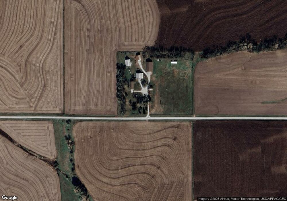
1681 C Rd Unadilla, NE 68454
Estimated Value: $282,000 - $358,000
3
Beds
1
Bath
1,600
Sq Ft
$201/Sq Ft
Est. Value
About This Home
This home is located at 1681 C Rd, Unadilla, NE 68454 and is currently estimated at $321,036, approximately $200 per square foot. 1681 C Rd is a home located in Otoe County with nearby schools including Elementary School at Syracuse and High School at Syracuse.
Ownership History
Date
Name
Owned For
Owner Type
Purchase Details
Closed on
Jul 2, 2021
Sold by
Vogt Harvey R and Vogt Maureen R
Bought by
Vogt Gregory and Vogt Joyce
Current Estimated Value
Purchase Details
Closed on
Sep 24, 2015
Sold by
Vogt Harvey and Vogt Maureen
Bought by
Cox Jimmie R and Cox Jill A
Home Financials for this Owner
Home Financials are based on the most recent Mortgage that was taken out on this home.
Original Mortgage
$112,000
Interest Rate
3.85%
Mortgage Type
New Conventional
Purchase Details
Closed on
Mar 21, 2011
Sold by
Radtke Doug and Radtke Doug D
Bought by
Vogt Harvey F and Vogt Maureen
Home Financials for this Owner
Home Financials are based on the most recent Mortgage that was taken out on this home.
Original Mortgage
$160,000
Interest Rate
5.04%
Mortgage Type
Future Advance Clause Open End Mortgage
Create a Home Valuation Report for This Property
The Home Valuation Report is an in-depth analysis detailing your home's value as well as a comparison with similar homes in the area
Home Values in the Area
Average Home Value in this Area
Purchase History
| Date | Buyer | Sale Price | Title Company |
|---|---|---|---|
| Vogt Gregory | $952,000 | Charter Title | |
| Cox Jimmie R | $120,000 | None Available | |
| Vogt Harvey F | $160,000 | None Available |
Source: Public Records
Mortgage History
| Date | Status | Borrower | Loan Amount |
|---|---|---|---|
| Previous Owner | Cox Jimmie R | $112,000 | |
| Previous Owner | Vogt Harvey F | $160,000 |
Source: Public Records
Tax History Compared to Growth
Tax History
| Year | Tax Paid | Tax Assessment Tax Assessment Total Assessment is a certain percentage of the fair market value that is determined by local assessors to be the total taxable value of land and additions on the property. | Land | Improvement |
|---|---|---|---|---|
| 2024 | $2,731 | $219,424 | $42,680 | $176,744 |
| 2023 | $2,925 | $199,476 | $38,800 | $160,676 |
| 2022 | $2,251 | $154,700 | $38,800 | $115,900 |
| 2021 | $2,146 | $154,700 | $38,800 | $115,900 |
| 2020 | $2,146 | $151,500 | $35,600 | $115,900 |
| 2019 | $2,024 | $140,960 | $35,600 | $105,360 |
| 2018 | $1,850 | $136,960 | $31,600 | $105,360 |
| 2017 | $1,787 | $136,960 | $31,600 | $105,360 |
| 2016 | $1,784 | $136,960 | $31,600 | $105,360 |
| 2015 | $1,806 | $136,960 | $31,600 | $105,360 |
| 2014 | $2,810 | $196,250 | $48,850 | $147,400 |
| 2012 | $2,277 | $155,950 | $44,660 | $111,290 |
Source: Public Records
Map
Nearby Homes
- 0000 County Road D
- 0000 County Rd D County Rd
- 1287 D Rd
- Lots 2 & 3 N 22nd Rd
- 21.85 Acres, N 14th Rd
- 1015 E Rd
- 1015 East Rd
- 440 9th St
- 747 C St
- Lot 3 Woodland Hills Dr
- Lot 5 Woodland Hills Dr
- 204 S 2nd St
- 825 I St
- 345 H St
- 209 E D St
- 301 E H St
- 1.13 Acres, E H St
- 1450 N 4th Rd
- 815 S 358th St
- 35408 34 Hwy