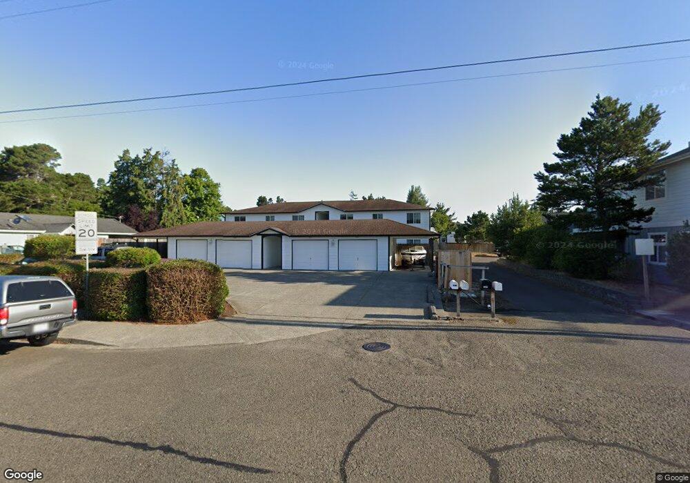
1683 30th St Florence, OR 97439
Estimated Value: $610,000 - $822,995
4
Beds
8
Baths
4,400
Sq Ft
$171/Sq Ft
Est. Value
About This Home
This home is located at 1683 30th St, Florence, OR 97439 and is currently estimated at $750,499, approximately $170 per square foot. 1683 30th St is a home located in Lane County with nearby schools including Siuslaw Elementary School, Siuslaw Middle School, and Siuslaw High School.
Ownership History
Date
Name
Owned For
Owner Type
Purchase Details
Closed on
Aug 10, 2020
Sold by
Chen Michael
Bought by
Yu Qing Jing
Current Estimated Value
Purchase Details
Closed on
Feb 16, 2010
Sold by
Rogers David E and Rogers Terry L
Bought by
Chen Michael and Yu Qing Jing
Home Financials for this Owner
Home Financials are based on the most recent Mortgage that was taken out on this home.
Original Mortgage
$300,000
Interest Rate
5.02%
Mortgage Type
Unknown
Create a Home Valuation Report for This Property
The Home Valuation Report is an in-depth analysis detailing your home's value as well as a comparison with similar homes in the area
Home Values in the Area
Average Home Value in this Area
Purchase History
| Date | Buyer | Sale Price | Title Company |
|---|---|---|---|
| Yu Qing Jing | -- | None Available | |
| Chen Michael | $370,000 | First American Title |
Source: Public Records
Mortgage History
| Date | Status | Borrower | Loan Amount |
|---|---|---|---|
| Previous Owner | Chen Michael | $300,000 |
Source: Public Records
Tax History Compared to Growth
Tax History
| Year | Tax Paid | Tax Assessment Tax Assessment Total Assessment is a certain percentage of the fair market value that is determined by local assessors to be the total taxable value of land and additions on the property. | Land | Improvement |
|---|---|---|---|---|
| 2025 | $5,966 | $437,227 | -- | -- |
| 2024 | $5,793 | $424,493 | -- | -- |
| 2023 | $5,793 | $412,130 | $0 | $0 |
| 2022 | $5,405 | $400,127 | $0 | $0 |
| 2021 | $5,294 | $388,473 | $0 | $0 |
| 2020 | $5,154 | $377,159 | $0 | $0 |
| 2019 | $4,962 | $366,174 | $0 | $0 |
| 2018 | $4,972 | $345,154 | $0 | $0 |
| 2017 | $4,795 | $345,154 | $0 | $0 |
| 2016 | $4,659 | $335,101 | $0 | $0 |
| 2015 | $4,474 | $325,341 | $0 | $0 |
| 2014 | $4,449 | $315,865 | $0 | $0 |
Source: Public Records
Map
Nearby Homes
- 1667 30th St
- 1635 30th St
- 1673 29th St
- 1690 32nd St
- 1726 32nd St
- 1860 30th St
- 5301 Highway 101
- 0 Highway 101 Unit 2102 630548394
- 1073 Highway 101
- 25 Sand Dollar Dr
- 1966 34th St
- 29 Easy St
- 0 35th - Hwy 101 Unit 6600 22360183
- 28 Easy St
- 851 Munsel Creek Loop
- 904 Lillie Circle Ct
- 73 Castaway Cove
- 71 Castaway Cove
- 865 Western Way
- 1577 37th St