1683 Baker Ave NW Buffalo, MN 55313
Estimated Value: $468,000 - $526,000
3
Beds
3
Baths
1,896
Sq Ft
$265/Sq Ft
Est. Value
About This Home
This home is located at 1683 Baker Ave NW, Buffalo, MN 55313 and is currently estimated at $502,505, approximately $265 per square foot. 1683 Baker Ave NW is a home located in Wright County with nearby schools including Northwinds Elementary School, Buffalo Community Middle School, and Buffalo Senior High School.
Ownership History
Date
Name
Owned For
Owner Type
Purchase Details
Closed on
Nov 15, 2018
Sold by
Scholl John D and Skinner Jane L
Bought by
Anderson Diane E
Current Estimated Value
Home Financials for this Owner
Home Financials are based on the most recent Mortgage that was taken out on this home.
Original Mortgage
$238,500
Outstanding Balance
$209,713
Interest Rate
4.8%
Mortgage Type
New Conventional
Estimated Equity
$292,792
Create a Home Valuation Report for This Property
The Home Valuation Report is an in-depth analysis detailing your home's value as well as a comparison with similar homes in the area
Home Values in the Area
Average Home Value in this Area
Purchase History
| Date | Buyer | Sale Price | Title Company |
|---|---|---|---|
| Anderson Diane E | $318,000 | Central Land Title |
Source: Public Records
Mortgage History
| Date | Status | Borrower | Loan Amount |
|---|---|---|---|
| Open | Anderson Diane E | $238,500 |
Source: Public Records
Tax History Compared to Growth
Tax History
| Year | Tax Paid | Tax Assessment Tax Assessment Total Assessment is a certain percentage of the fair market value that is determined by local assessors to be the total taxable value of land and additions on the property. | Land | Improvement |
|---|---|---|---|---|
| 2025 | $3,678 | $447,600 | $206,800 | $240,800 |
| 2024 | $3,666 | $410,600 | $182,800 | $227,800 |
| 2023 | $3,716 | $418,400 | $182,800 | $235,600 |
| 2022 | $3,534 | $387,900 | $173,700 | $214,200 |
| 2021 | $3,476 | $322,400 | $119,100 | $203,300 |
| 2020 | $3,388 | $311,200 | $118,300 | $192,900 |
| 2019 | $3,126 | $299,200 | $0 | $0 |
| 2018 | $2,968 | $304,600 | $0 | $0 |
| 2017 | $2,924 | $289,900 | $0 | $0 |
| 2016 | $2,974 | $0 | $0 | $0 |
| 2015 | $2,750 | $0 | $0 | $0 |
| 2014 | -- | $0 | $0 | $0 |
Source: Public Records
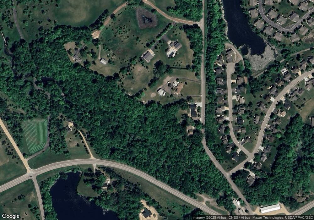
Map
Nearby Homes
- 112 Sundance Ridge
- 936 Belanger Ave NW
- 1867 County Road 35 W
- TBD Lake Blvd
- 1201 Hemlock Cir
- 2557 Clementa Ave NW
- 804 Kensington Way
- 403 4th Ave NW
- 1206 Kensington Way
- 406 12th St NW
- 406 3rd Ave NW
- 205 3rd St NW
- 1309 Grandview Cir
- 924 Golden Pond Ct
- 807 2nd Ave NW
- 110 1st Ave NE Unit 402
- 2770 11th St NW
- 107 2nd Ave NE
- xxx 2nd Ave NE
- 210 Lake Blvd S
- 1649 Baker Ave NW
- 303 Heartland Rd
- 207 Heartland Rd
- 305 Heartland Rd
- 1611 Baker Ave NW
- 1051 18th St NW
- 205 Heartland Rd
- 307 Heartland Rd
- 203 Heartland Rd
- 201 Heartland Rd
- 302 Heartland Rd
- 300 Heartland Rd
- 204 Heartland Rd
- 309 Heartland Rd
- 202 Heartland Rd
- 115 Heartland Rd
- 200 Heartland Rd
- 114 Heartland Rd
- 113 Heartland Rd
- 1405 Landsdown Rd