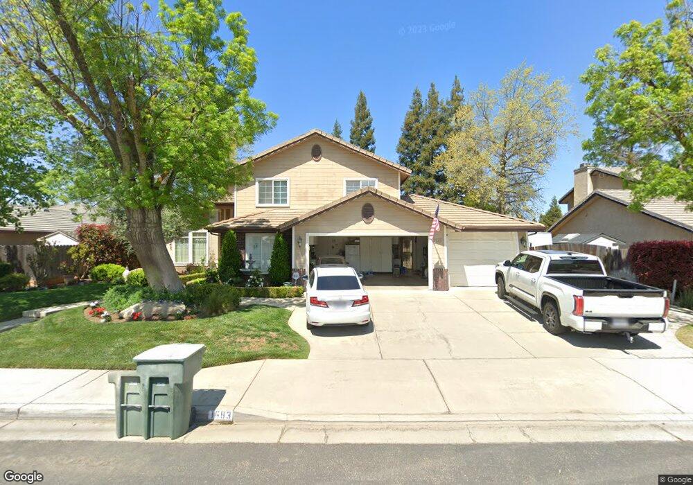
1683 Decatur Ave Clovis, CA 93611
Estimated Value: $725,826 - $745,000
5
Beds
4
Baths
3,300
Sq Ft
$222/Sq Ft
Est. Value
About This Home
This home is located at 1683 Decatur Ave, Clovis, CA 93611 and is currently estimated at $733,609, approximately $222 per square foot. 1683 Decatur Ave is a home located in Fresno County with nearby schools including Century Elementary School, Alta Sierra Intermediate School, and Buchanan High School.
Ownership History
Date
Name
Owned For
Owner Type
Purchase Details
Closed on
Apr 11, 2013
Sold by
Fry C Joseph and Fry Gina Marie
Bought by
Fry C Joseph and Fry Gina Marie
Current Estimated Value
Purchase Details
Closed on
Oct 18, 2004
Sold by
Fry C Joseph and Fry Gina Marie
Bought by
Fry C Joseph and Fry Gina Marie
Purchase Details
Closed on
Aug 26, 1998
Sold by
Richards James G and Richards Marianne M
Bought by
Fry C Joseph and Fry Gina Marie
Home Financials for this Owner
Home Financials are based on the most recent Mortgage that was taken out on this home.
Original Mortgage
$178,950
Interest Rate
6.78%
Create a Home Valuation Report for This Property
The Home Valuation Report is an in-depth analysis detailing your home's value as well as a comparison with similar homes in the area
Home Values in the Area
Average Home Value in this Area
Purchase History
| Date | Buyer | Sale Price | Title Company |
|---|---|---|---|
| Fry C Joseph | -- | None Available | |
| Fry C Joseph | -- | None Available | |
| Fry C Joseph | $224,000 | Stewart Title |
Source: Public Records
Mortgage History
| Date | Status | Borrower | Loan Amount |
|---|---|---|---|
| Previous Owner | Fry C Joseph | $178,950 |
Source: Public Records
Tax History
| Year | Tax Paid | Tax Assessment Tax Assessment Total Assessment is a certain percentage of the fair market value that is determined by local assessors to be the total taxable value of land and additions on the property. | Land | Improvement |
|---|---|---|---|---|
| 2025 | $4,385 | $369,876 | $78,374 | $291,502 |
| 2023 | $4,219 | $355,516 | $75,332 | $280,184 |
| 2022 | $4,163 | $348,546 | $73,855 | $274,691 |
| 2021 | $4,027 | $341,712 | $72,407 | $269,305 |
| 2020 | $4,011 | $338,209 | $71,665 | $266,544 |
| 2019 | $3,933 | $331,578 | $70,260 | $261,318 |
| 2018 | $3,847 | $325,078 | $68,883 | $256,195 |
| 2017 | $3,781 | $318,705 | $67,533 | $251,172 |
| 2016 | $3,654 | $312,457 | $66,209 | $246,248 |
| 2015 | $3,598 | $307,765 | $65,215 | $242,550 |
| 2014 | $3,532 | $301,737 | $63,938 | $237,799 |
Source: Public Records
Map
Nearby Homes
- 1754 Decatur Ave
- 712 N Bliss Ln
- 1956 Minarets Ln
- 2117 Goshen Ave
- 8220 N Fowler Ave
- 1323 Oak Ave
- 1303 Jordan Ave
- 1061 N Armstrong Ave
- 971 N Filbert Ave
- 1650 Fir Ave
- 1490 Fir Ave
- 367 N Raphael Ln Unit 367
- 753 Bedford Ave
- 1234 Burlingame Ave
- 338 N Filbert Ave
- 2051 Los Altos Ave
- 1152 Lester Ave
- 3664 E Serena Ave
- 2047 Menlo Ave
- 1817 N Phillip Ave
- 1673 Decatur Ave
- 1723 Decatur Ave
- 1686 El Paso Ave
- 1726 El Paso Ave
- 1676 El Paso Ave
- 1663 Decatur Ave
- 1733 Decatur Ave
- 1684 Decatur Ave
- 1724 Decatur Ave
- 1674 Decatur Ave
- 1666 El Paso Ave
- 1736 El Paso Ave
- 1734 Decatur Ave
- 1664 Decatur Ave
- 1653 Decatur Ave
- 1743 Decatur Ave
- 1656 El Paso Ave
- 1746 El Paso Ave
- 1705 El Paso Ave
- 1685 El Paso Ave
Your Personal Tour Guide
Ask me questions while you tour the home.