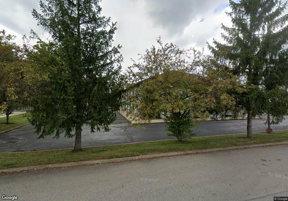
1684 1045 Ashland, OH 44805
Estimated Value: $302,000 - $595,000
4
Beds
3
Baths
2,632
Sq Ft
$181/Sq Ft
Est. Value
About This Home
This home is located at 1684 1045, Ashland, OH 44805 and is currently estimated at $476,486, approximately $181 per square foot. 1684 1045 is a home located in Ashland County with nearby schools including Ashland High School and St. Edward Elementary School.
Ownership History
Date
Name
Owned For
Owner Type
Purchase Details
Closed on
Aug 3, 2016
Sold by
Wrj Investments Llc
Bought by
Bunce Larry W and Bunce Sheri L
Current Estimated Value
Home Financials for this Owner
Home Financials are based on the most recent Mortgage that was taken out on this home.
Original Mortgage
$210,000
Outstanding Balance
$167,987
Interest Rate
3.56%
Mortgage Type
New Conventional
Estimated Equity
$308,499
Purchase Details
Closed on
Jun 23, 2006
Sold by
Underwood Gary D
Bought by
Maiyer Michael R
Purchase Details
Closed on
Oct 22, 1993
Bought by
Underwood Gary D
Create a Home Valuation Report for This Property
The Home Valuation Report is an in-depth analysis detailing your home's value as well as a comparison with similar homes in the area
Home Values in the Area
Average Home Value in this Area
Purchase History
| Date | Buyer | Sale Price | Title Company |
|---|---|---|---|
| Bunce Larry W | $285,000 | Barrister Ashland Title | |
| Maiyer Michael R | $354,000 | -- | |
| Underwood Gary D | $32,000 | -- |
Source: Public Records
Mortgage History
| Date | Status | Borrower | Loan Amount |
|---|---|---|---|
| Open | Bunce Larry W | $210,000 |
Source: Public Records
Tax History Compared to Growth
Tax History
| Year | Tax Paid | Tax Assessment Tax Assessment Total Assessment is a certain percentage of the fair market value that is determined by local assessors to be the total taxable value of land and additions on the property. | Land | Improvement |
|---|---|---|---|---|
| 2024 | $5,674 | $159,540 | $23,980 | $135,560 |
| 2023 | $5,674 | $159,540 | $23,980 | $135,560 |
| 2022 | $5,186 | $113,950 | $17,130 | $96,820 |
| 2021 | $5,206 | $113,950 | $17,130 | $96,820 |
| 2020 | $4,940 | $113,950 | $17,130 | $96,820 |
| 2019 | $4,746 | $101,180 | $17,370 | $83,810 |
| 2018 | $4,763 | $101,180 | $17,370 | $83,810 |
| 2017 | $4,679 | $101,180 | $17,370 | $83,810 |
| 2016 | $4,385 | $89,540 | $15,370 | $74,170 |
| 2015 | $4,196 | $86,420 | $15,370 | $71,050 |
| 2013 | $4,562 | $103,730 | $15,350 | $88,380 |
Source: Public Records
Map
Nearby Homes
- 1015 Township Road 1696
- 1690 County Road 995
- 1581 County Road 995
- 0 Twp Rd 1806 Unit 11591470
- 1706 Kingwood Ct
- 1111 Columbus Cir N
- 963 Avalon Dr
- 1653 Ohio 60
- 1653 State Route 60
- 531 Keen Ave
- 1106 County Road 30a
- 1331 Eastern Ave
- 31 Morgan Ave
- 1026 Claremont Ave
- 1457 Township Road 853
- 453 Hillcrest Dr
- 1109 Eastern Ave
- 914 Chestnut St
- 1435 Township Road 853
- 1011 Eastern Ave
- 1684 Township Road 1045
- 1680 Township Road 1045
- 1692 Township Road 1045
- 1683 Township Road 1045
- 0 T R 1045
- 1678 Township Road 1045
- 1689 1045
- 1689 Township Road 1045
- 1700 1045
- 1676 Township Road 1045
- 1700 Township Road 1045 Unit 1045
- 1700 Township Road 1045
- 1671 Township Road 1045
- 0 Township Road 1043
- 1680 Township Road 1043
- 1031 Township Road 1682 Unit 1682
- 1031 Township Road 1682
- 1677 Township Road 1043
- 1043 Twp Rd
- 1027 1682