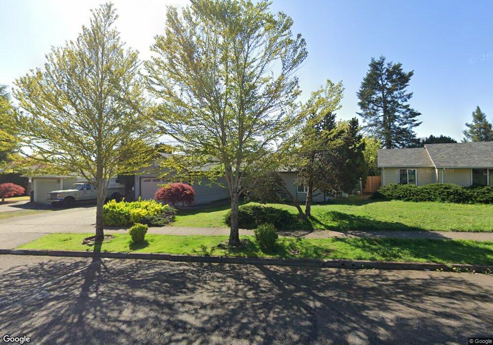
1684 Cedarcrest Dr S Salem, OR 97306
Sunnyslope NeighborhoodEstimated Value: $504,000 - $613,000
4
Beds
3
Baths
2,102
Sq Ft
$260/Sq Ft
Est. Value
About This Home
This home is located at 1684 Cedarcrest Dr S, Salem, OR 97306 and is currently estimated at $546,339, approximately $259 per square foot. 1684 Cedarcrest Dr S is a home located in Marion County with nearby schools including Liberty Elementary School, Crossler Middle School, and Sprague High School.
Ownership History
Date
Name
Owned For
Owner Type
Purchase Details
Closed on
Aug 26, 2013
Sold by
Harsh Michael R and Harsh Sedonia W
Bought by
Lemari Mathlyn
Current Estimated Value
Home Financials for this Owner
Home Financials are based on the most recent Mortgage that was taken out on this home.
Original Mortgage
$249,399
Outstanding Balance
$184,453
Interest Rate
4.33%
Mortgage Type
FHA
Estimated Equity
$361,886
Create a Home Valuation Report for This Property
The Home Valuation Report is an in-depth analysis detailing your home's value as well as a comparison with similar homes in the area
Home Values in the Area
Average Home Value in this Area
Purchase History
| Date | Buyer | Sale Price | Title Company |
|---|---|---|---|
| Lemari Mathlyn | $254,000 | Ticor Title |
Source: Public Records
Mortgage History
| Date | Status | Borrower | Loan Amount |
|---|---|---|---|
| Open | Lemari Mathlyn | $249,399 |
Source: Public Records
Tax History Compared to Growth
Tax History
| Year | Tax Paid | Tax Assessment Tax Assessment Total Assessment is a certain percentage of the fair market value that is determined by local assessors to be the total taxable value of land and additions on the property. | Land | Improvement |
|---|---|---|---|---|
| 2025 | $5,069 | $265,910 | -- | -- |
| 2024 | $5,069 | $258,170 | -- | -- |
| 2023 | $4,920 | $250,660 | $0 | $0 |
| 2022 | $4,639 | $243,360 | $0 | $0 |
| 2021 | $4,506 | $236,280 | $0 | $0 |
| 2020 | $4,375 | $229,400 | $0 | $0 |
| 2019 | $4,221 | $222,720 | $0 | $0 |
| 2018 | $4,296 | $0 | $0 | $0 |
| 2017 | $3,877 | $0 | $0 | $0 |
| 2016 | $3,693 | $0 | $0 | $0 |
| 2015 | $3,721 | $0 | $0 | $0 |
| 2014 | $3,601 | $0 | $0 | $0 |
Source: Public Records
Map
Nearby Homes
- 5441 Mohawk Ct S
- 5275 Parker Ct S
- 1874 Cedarcrest Dr S
- 5401 E Ridge St S
- 5270 Chapman St S
- 1977 Maplewood Ct S
- 5555 Red Leaf Dr S
- 5555 Salinas Ct S
- 1394 Hayward St S
- 1884 Skyline Village Loop S
- 5198 Skyline Rd S
- 5551 Crossler Meadow Lp SE
- 5285 Anaconda Dr S
- 5358 Sparta Loop SE
- 5727 Joynak St S
- 1055 Big Fir Place S
- 2335 Maplewood Dr S
- 116 Rolling Hills Ave SE
- 5395 Anaconda Dr S
- 5336 Addison Ct S
- 1674 Cedarcrest Dr S
- 1724 Cedarcrest Dr S
- 5436 Green Ridge Ct S
- 1744 Cedarcrest Dr S
- 5437 Green Ridge Ct S
- 5429 Brookwood St S
- 1654 Cedarcrest Dr S
- 5439 Brookwood St S
- 5446 Green Ridge Ct S
- 1713 Cedarcrest Dr S
- 1733 Cedarcrest Dr S
- 1683 Cedarcrest Dr S
- 1764 Cedarcrest Dr S
- 5449 Brookwood St S
- 5447 Green Ridge Ct S
- 1673 Cedarcrest Dr S
- 1763 Cedarcrest Dr S
- 5459 Brookwood St S
- 5456 Green Ridge Ct S
- 5444 Rock Creek Ct S