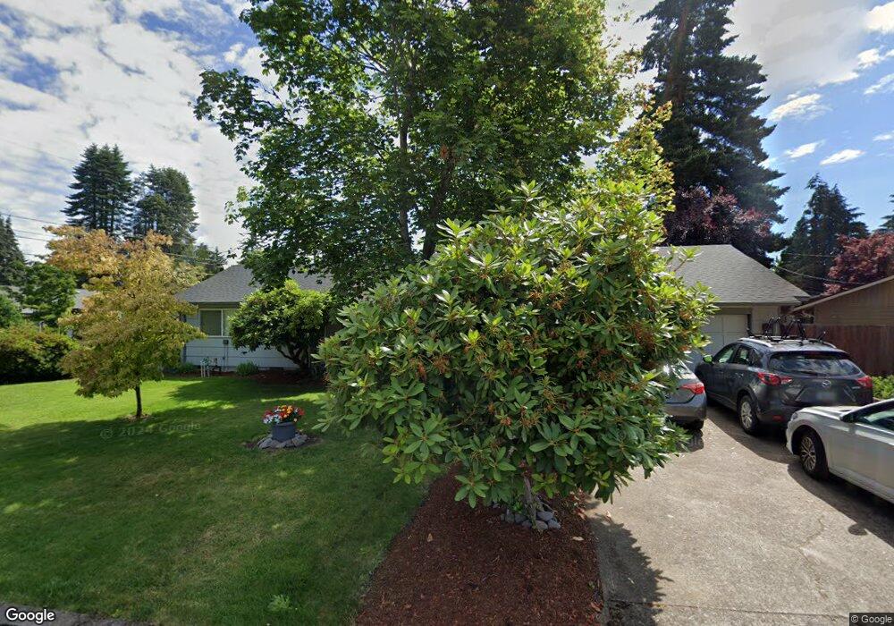
1684 Sequoia Ave Springfield, OR 97477
West Springfield NeighborhoodEstimated Value: $406,039 - $453,000
3
Beds
2
Baths
1,443
Sq Ft
$303/Sq Ft
Est. Value
About This Home
This home is located at 1684 Sequoia Ave, Springfield, OR 97477 and is currently estimated at $437,260, approximately $303 per square foot. 1684 Sequoia Ave is a home located in Lane County with nearby schools including Centennial Elementary School, Hamlin Middle School, and Springfield High School.
Ownership History
Date
Name
Owned For
Owner Type
Purchase Details
Closed on
May 16, 2001
Sold by
Raminiak Mathew E and Raminiak Elissa K
Bought by
Ward Kyle and Ward Meegan K
Current Estimated Value
Home Financials for this Owner
Home Financials are based on the most recent Mortgage that was taken out on this home.
Original Mortgage
$123,025
Outstanding Balance
$45,385
Interest Rate
7.03%
Estimated Equity
$391,875
Create a Home Valuation Report for This Property
The Home Valuation Report is an in-depth analysis detailing your home's value as well as a comparison with similar homes in the area
Home Values in the Area
Average Home Value in this Area
Purchase History
| Date | Buyer | Sale Price | Title Company |
|---|---|---|---|
| Ward Kyle | $129,500 | Western Title & Escrow Compa |
Source: Public Records
Mortgage History
| Date | Status | Borrower | Loan Amount |
|---|---|---|---|
| Open | Ward Kyle | $123,025 |
Source: Public Records
Tax History
| Year | Tax Paid | Tax Assessment Tax Assessment Total Assessment is a certain percentage of the fair market value that is determined by local assessors to be the total taxable value of land and additions on the property. | Land | Improvement |
|---|---|---|---|---|
| 2025 | $2,981 | $203,538 | -- | -- |
| 2024 | $2,900 | $197,610 | -- | -- |
| 2023 | $2,900 | $191,855 | $0 | $0 |
| 2022 | $2,757 | $186,267 | $0 | $0 |
| 2021 | $2,698 | $180,842 | $0 | $0 |
| 2020 | $2,620 | $175,575 | $0 | $0 |
| 2019 | $2,528 | $170,462 | $0 | $0 |
| 2018 | $2,432 | $160,678 | $0 | $0 |
| 2017 | $2,359 | $160,678 | $0 | $0 |
| 2016 | $2,306 | $155,998 | $0 | $0 |
| 2015 | $2,250 | $151,454 | $0 | $0 |
| 2014 | $2,155 | $147,043 | $0 | $0 |
Source: Public Records
Map
Nearby Homes
- 1130 Anderson Ln
- 835 Anderson Ln
- 1074 Hamilton St
- 1505 Canal St
- 804 W N St
- 3579 Oxbow Way
- 3360 Chevy Chase St
- 446 Kodiak St
- 930 Prescott Ln
- 898 Lochaven Ave
- 428 W Centennial Blvd
- 952 Summit Blvd
- 535 Pacific Ave
- 552 W D St
- 451 Lochaven Ave
- 364 Scotts Glen Dr
- 2150 Laura St Unit 119
- 2150 Laura St Unit 111
- 2150 Laura St Unit 39
- 2150 Laura St Unit 57
- 1660 Sequoia Ave
- 1651 Cottonwood Ave
- 1603 Cottonwood Ave
- 1180 Lodgepole Ct
- 1693 Sequoia Ave
- 1671 Sequoia Ave
- 1669 Sequoia Ave
- 1606 Sequoia Ave
- 1581 Cottonwood Ave
- 1715 Cottonwood Ave
- 1175 Lodgepole Ct
- 1205 Anderson Ln
- 1563 Cottonwood Ave
- 1163 Anderson Ln
- 1615 Sequoia Ave
- 1140 Ponderosa Ct
- 1757 Cottonwood Ave
- 1650 Cottonwood Ave
- 1157 Anderson Ln
- 1171 Lodgepole Ct
Your Personal Tour Guide
Ask me questions while you tour the home.