16848 Amelia Earhart Dr Leavenworth, KS 66048
Estimated Value: $424,000 - $593,000
4
Beds
2
Baths
2,400
Sq Ft
$207/Sq Ft
Est. Value
About This Home
This home is located at 16848 Amelia Earhart Dr, Leavenworth, KS 66048 and is currently estimated at $497,657, approximately $207 per square foot. 16848 Amelia Earhart Dr is a home located in Leavenworth County with nearby schools including Pleasant Ridge Elementary School, Pleasant Ridge Middle School, and Pleasant Ridge High School.
Ownership History
Date
Name
Owned For
Owner Type
Purchase Details
Closed on
Apr 1, 1997
Bought by
Poppe Tony L and Poppe Kathleen R
Current Estimated Value
Home Financials for this Owner
Home Financials are based on the most recent Mortgage that was taken out on this home.
Original Mortgage
$200,000
Outstanding Balance
$144,583
Interest Rate
7.97%
Mortgage Type
New Conventional
Estimated Equity
$353,074
Create a Home Valuation Report for This Property
The Home Valuation Report is an in-depth analysis detailing your home's value as well as a comparison with similar homes in the area
Home Values in the Area
Average Home Value in this Area
Purchase History
| Date | Buyer | Sale Price | Title Company |
|---|---|---|---|
| Poppe Tony L | $5,000 | -- |
Source: Public Records
Mortgage History
| Date | Status | Borrower | Loan Amount |
|---|---|---|---|
| Open | Poppe Tony L | $200,000 | |
| Closed | Poppe Tony L | $50,000 |
Source: Public Records
Tax History Compared to Growth
Tax History
| Year | Tax Paid | Tax Assessment Tax Assessment Total Assessment is a certain percentage of the fair market value that is determined by local assessors to be the total taxable value of land and additions on the property. | Land | Improvement |
|---|---|---|---|---|
| 2025 | $4,467 | $46,146 | $11,487 | $34,659 |
| 2024 | $4,330 | $44,372 | $10,110 | $34,262 |
| 2023 | $4,330 | $43,079 | $10,110 | $32,969 |
| 2022 | $4,331 | $42,838 | $8,617 | $34,221 |
| 2021 | $3,621 | $35,010 | $7,835 | $27,175 |
| 2020 | $3,419 | $32,913 | $7,490 | $25,423 |
| 2019 | $3,227 | $31,016 | $7,145 | $23,871 |
| 2018 | $3,026 | $29,141 | $6,225 | $22,916 |
| 2017 | $3,038 | $29,141 | $6,110 | $23,031 |
| 2016 | $3,006 | $28,788 | $5,995 | $22,793 |
| 2015 | $2,899 | $27,601 | $5,995 | $21,606 |
| 2014 | $2,799 | $26,797 | $5,995 | $20,802 |
Source: Public Records
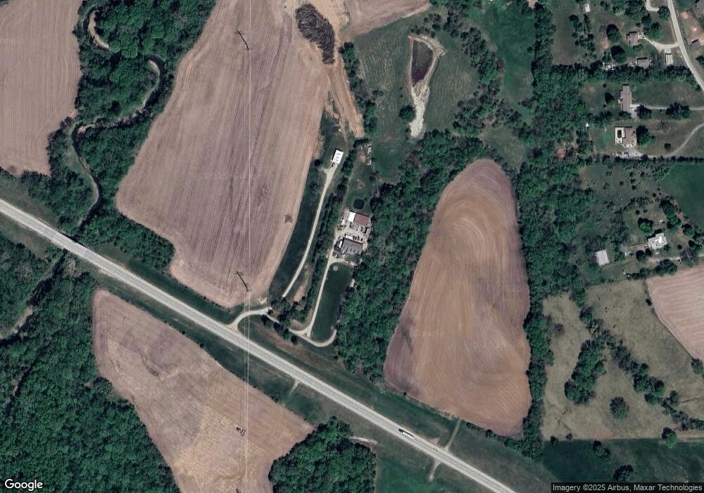
Map
Nearby Homes
- 16425 Fort Riley Rd
- 17051 Mount Olivet Rd
- 2017 Metropolitan Ave
- 1844 Ottawa St
- 1927 Pottawatomie St
- 1611 Kiowa St
- 1051 N 16th St
- 1706 Ottawa St
- 1428 Kiowa St
- 1503 Kiowa St
- 1335 Cheyenne St
- 1416 Kiowa St
- 1306 Pawnee St
- 1835 Miami St
- 318 N 18th St
- 920 N 14th St
- 1919 Seneca St
- 620 N 13th Terrace
- 204 N 17th St
- 1933 Cherokee St
- 16860 Amelia Earhart Dr
- 16585 Fort Riley Rd
- 16593 Fort Riley Rd
- 16523 Fort Riley Rd
- 16669 Santa fe Trail
- 16619 Fort Riley Rd
- 16623 Fort Riley Rd
- 16623 Fort Riley Rd
- 16631 Fort Riley Rd
- 16659 Santa fe Trail
- 16565 Santa fe Trail
- 16541 Santa fe Trail
- 16547 Santa fe Trail
- 16521 Santa fe Trail
- 16493 Santa fe Trail
- 16752 Santa fe Trail
- 16536 Santa fe Trail
- 16524 Santa fe Trail
- 16492 Santa fe Trail
- 16427 Fort Riley Rd