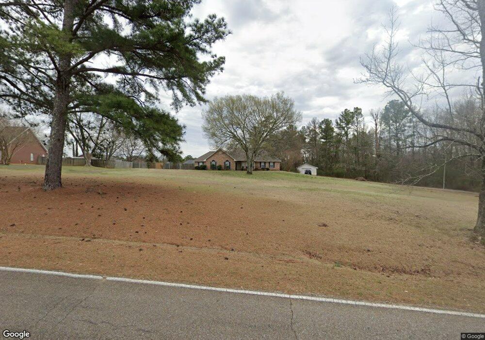
1685 Oswalt Rd Columbus, MS 39702
Estimated Value: $255,000 - $424,000
--
Bed
--
Bath
1,974
Sq Ft
$162/Sq Ft
Est. Value
About This Home
This home is located at 1685 Oswalt Rd, Columbus, MS 39702 and is currently estimated at $319,844, approximately $162 per square foot. 1685 Oswalt Rd is a home.
Ownership History
Date
Name
Owned For
Owner Type
Purchase Details
Closed on
Oct 30, 2017
Sold by
Smith Billy Jack and Smith Amanda
Bought by
Barnes Joe M and Barnes Sarah
Current Estimated Value
Home Financials for this Owner
Home Financials are based on the most recent Mortgage that was taken out on this home.
Original Mortgage
$204,232
Outstanding Balance
$169,668
Interest Rate
3.62%
Mortgage Type
FHA
Estimated Equity
$150,176
Purchase Details
Closed on
Feb 16, 2007
Sold by
Beasley James D and Beasley Stephanie Michelle
Bought by
Smith Billy Jack and Smith Amanda
Home Financials for this Owner
Home Financials are based on the most recent Mortgage that was taken out on this home.
Original Mortgage
$204,250
Interest Rate
6.16%
Create a Home Valuation Report for This Property
The Home Valuation Report is an in-depth analysis detailing your home's value as well as a comparison with similar homes in the area
Home Values in the Area
Average Home Value in this Area
Purchase History
| Date | Buyer | Sale Price | Title Company |
|---|---|---|---|
| Barnes Joe M | -- | None Available | |
| Smith Billy Jack | -- | -- |
Source: Public Records
Mortgage History
| Date | Status | Borrower | Loan Amount |
|---|---|---|---|
| Open | Barnes Joe M | $204,232 | |
| Previous Owner | Smith Billy Jack | $204,250 |
Source: Public Records
Tax History Compared to Growth
Tax History
| Year | Tax Paid | Tax Assessment Tax Assessment Total Assessment is a certain percentage of the fair market value that is determined by local assessors to be the total taxable value of land and additions on the property. | Land | Improvement |
|---|---|---|---|---|
| 2025 | $1,500 | $18,395 | $0 | $0 |
| 2024 | $1,485 | $18,395 | $0 | $0 |
| 2023 | $1,294 | $16,498 | $0 | $0 |
| 2022 | $1,295 | $16,498 | $0 | $0 |
| 2021 | $1,236 | $16,498 | $0 | $0 |
| 2020 | $1,152 | $16,498 | $0 | $0 |
| 2019 | $1,218 | $16,419 | $0 | $0 |
| 2018 | $1,218 | $16,735 | $0 | $0 |
| 2017 | $1,151 | $25,103 | $0 | $0 |
| 2016 | $1,151 | $16,735 | $0 | $0 |
| 2015 | $1,180 | $17,064 | $0 | $0 |
| 2014 | $1,180 | $17,064 | $0 | $0 |
Source: Public Records
Map
Nearby Homes
- 186 Wind Chase Dr
- 836 Oswalt Rd
- 524 Jones Dr
- 669 Jones Dr
- 338 Rogers Way
- 358 Rogers Way
- 9 Monticello Cir
- 187 Jones Dr
- 116 Kings Path
- 17 Paige Cove
- 49 Freeman Dr
- 4 Stringer Ln
- 2654 Yorkville Rd E
- 479 Bryant Rd
- 0 0 Hwy 69 S
- Ms-69
- 0 New Hope Rd Unit 25-2493
- 102 Livingston Ln
- 262 Center Rd
- 76 Richardson Rd