1685 Robson Ln Huntley, MT 59037
Estimated Value: $355,000 - $592,375
3
Beds
2
Baths
1,728
Sq Ft
$274/Sq Ft
Est. Value
About This Home
This home is located at 1685 Robson Ln, Huntley, MT 59037 and is currently estimated at $473,344, approximately $273 per square foot. 1685 Robson Ln is a home located in Yellowstone County with nearby schools including Huntley Project Elementary School, Huntley Project Junior High School, and Huntley Project High School.
Ownership History
Date
Name
Owned For
Owner Type
Purchase Details
Closed on
Jul 24, 2013
Sold by
Jr Homes Ll
Bought by
Murrill Don L and Murrill Pamela A
Current Estimated Value
Home Financials for this Owner
Home Financials are based on the most recent Mortgage that was taken out on this home.
Original Mortgage
$196,300
Outstanding Balance
$143,100
Interest Rate
3.98%
Mortgage Type
New Conventional
Estimated Equity
$330,244
Purchase Details
Closed on
Jun 3, 2009
Sold by
Krell Randal J
Bought by
Jr Homes Llc
Purchase Details
Closed on
Jul 1, 2005
Sold by
Henrichs Roger A
Bought by
Krell Randal J
Purchase Details
Closed on
Jun 13, 2005
Sold by
Henrichs Kathleen M
Bought by
Henrichs Roger
Purchase Details
Closed on
Mar 28, 2005
Sold by
Henrichs Roger A
Bought by
Henrichs Kathleen M
Create a Home Valuation Report for This Property
The Home Valuation Report is an in-depth analysis detailing your home's value as well as a comparison with similar homes in the area
Purchase History
We collect this data history from publicly available records. To have your information removed, we recommend requesting removal directly through your county’s website.
| Date | Buyer | Sale Price | Title Company |
|---|---|---|---|
| Murrill Don L | -- | None Available | |
| Jr Homes Llc | -- | None Available | |
| Krell Randal J | -- | None Available | |
| Henrichs Roger | -- | None Available | |
| Henrichs Kathleen M | -- | None Available |
Source: Public Records
Mortgage History
We collect this data history from publicly available records. To have your information removed, we recommend requesting removal directly through your county’s website.
| Date | Status | Borrower | Loan Amount |
|---|---|---|---|
| Open | Murrill Don L | $196,300 |
Source: Public Records
Tax History
| Year | Tax Paid | Tax Assessment Tax Assessment Total Assessment is a certain percentage of the fair market value that is determined by local assessors to be the total taxable value of land and additions on the property. | Land | Improvement |
|---|---|---|---|---|
| 2025 | $2,090 | $386,735 | $52,035 | $334,700 |
| 2024 | $2,090 | $340,171 | $43,291 | $296,880 |
| 2023 | $2,554 | $340,171 | $43,291 | $296,880 |
| 2022 | $2,248 | $282,668 | $0 | $0 |
| 2021 | $2,325 | $282,668 | $0 | $0 |
| 2020 | $2,309 | $277,091 | $0 | $0 |
| 2019 | $2,247 | $277,091 | $0 | $0 |
| 2018 | $2,201 | $254,156 | $0 | $0 |
| 2017 | $2,094 | $254,156 | $0 | $0 |
| 2016 | $1,885 | $253,565 | $0 | $0 |
| 2015 | $2,038 | $253,565 | $0 | $0 |
| 2014 | $1,816 | $116,650 | $0 | $0 |
Source: Public Records
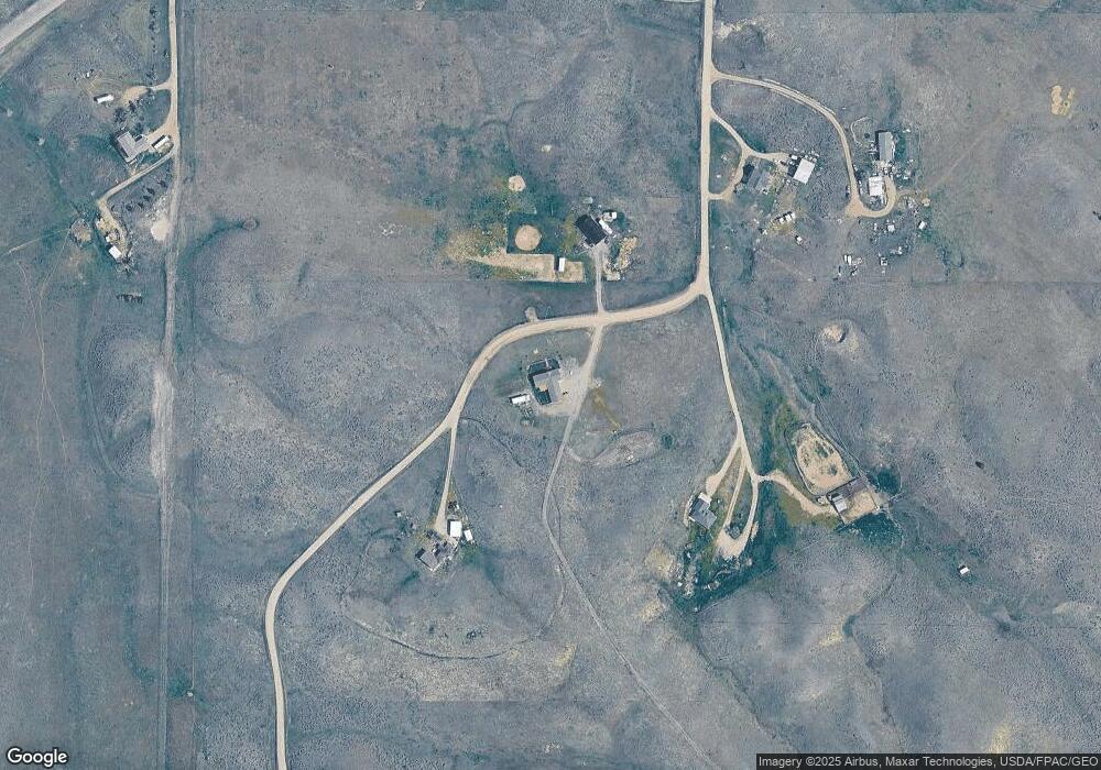
Map
Nearby Homes
- 1794 N 4th Rd
- 591 Squaw Creek Rd
- 1679 Jute St
- 581 Squaw Creek Rd
- 2285 N 9th Rd
- 121 Peritse Ave
- 1320 Florian Ave
- 1251 Chipper Ln
- 7729 Buckskin Dr
- 1246 Chipper Ln
- 1191 Chipper Ln
- 6513 Frey Rd
- 6948 Pony Cir
- 7340 Wild Game Trail
- 7420 Whitetail Run
- 3700 Louis Dr
- 6835 Eagle Bend Blvd
- 6770 Eagle Bend Blvd
- 2573 Road 8
- 2573 N 8th Rd
Your Personal Tour Guide
Ask me questions while you tour the home.