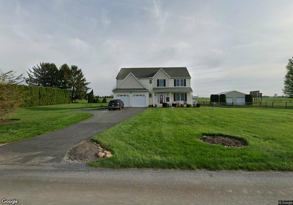
1685 Walnut Rd Honey Brook, PA 19344
Estimated Value: $575,854 - $605,000
4
Beds
3
Baths
2,701
Sq Ft
$220/Sq Ft
Est. Value
About This Home
This home is located at 1685 Walnut Rd, Honey Brook, PA 19344 and is currently estimated at $595,464, approximately $220 per square foot. 1685 Walnut Rd is a home located in Chester County with nearby schools including Honey Brook Elementary Center, Twin Valley Middle School, and Twin Valley High School.
Ownership History
Date
Name
Owned For
Owner Type
Purchase Details
Closed on
Aug 18, 2006
Sold by
Cortlessa Nickholas A and Cortlessa Virginia K
Bought by
Liptock Joseph J and Liptock Donna M
Current Estimated Value
Home Financials for this Owner
Home Financials are based on the most recent Mortgage that was taken out on this home.
Original Mortgage
$245,000
Interest Rate
6.54%
Mortgage Type
Purchase Money Mortgage
Purchase Details
Closed on
May 21, 2004
Sold by
Walnut Road Development Llc
Bought by
Cortlessa Nickholas A and Cortlessa Virginia K
Home Financials for this Owner
Home Financials are based on the most recent Mortgage that was taken out on this home.
Original Mortgage
$225,600
Interest Rate
6.02%
Mortgage Type
Purchase Money Mortgage
Purchase Details
Closed on
Apr 8, 2002
Sold by
Eberly Sharon R
Bought by
Walnut Road Development Llc
Purchase Details
Closed on
Jan 31, 2002
Sold by
Fisher June P
Bought by
Eberly Sharon R
Create a Home Valuation Report for This Property
The Home Valuation Report is an in-depth analysis detailing your home's value as well as a comparison with similar homes in the area
Home Values in the Area
Average Home Value in this Area
Purchase History
| Date | Buyer | Sale Price | Title Company |
|---|---|---|---|
| Liptock Joseph J | $327,500 | Landamerica-Clt | |
| Cortlessa Nickholas A | $282,000 | -- | |
| Walnut Road Development Llc | $186,000 | -- | |
| Eberly Sharon R | $98,900 | First American Title Ins Co |
Source: Public Records
Mortgage History
| Date | Status | Borrower | Loan Amount |
|---|---|---|---|
| Previous Owner | Liptock Joseph J | $245,000 | |
| Previous Owner | Cortlessa Nickholas A | $225,600 |
Source: Public Records
Tax History Compared to Growth
Tax History
| Year | Tax Paid | Tax Assessment Tax Assessment Total Assessment is a certain percentage of the fair market value that is determined by local assessors to be the total taxable value of land and additions on the property. | Land | Improvement |
|---|---|---|---|---|
| 2025 | $7,241 | $188,600 | $26,080 | $162,520 |
| 2024 | $7,241 | $188,600 | $26,080 | $162,520 |
| 2023 | $7,076 | $188,600 | $26,080 | $162,520 |
| 2022 | $6,998 | $188,600 | $26,080 | $162,520 |
| 2021 | $6,794 | $188,600 | $26,080 | $162,520 |
| 2020 | $6,760 | $188,600 | $26,080 | $162,520 |
| 2019 | $6,558 | $188,600 | $26,080 | $162,520 |
| 2018 | $6,558 | $188,600 | $26,080 | $162,520 |
| 2017 | $6,404 | $188,600 | $26,080 | $162,520 |
| 2016 | $5,138 | $188,600 | $26,080 | $162,520 |
| 2015 | $5,138 | $188,600 | $26,080 | $162,520 |
| 2014 | $5,138 | $188,600 | $26,080 | $162,520 |
Source: Public Records
Map
Nearby Homes
- 407 Cahill Cir Unit 4
- 0 Westbrook Dr
- 0 Westbrook Dr
- 0 Westbrook Dr
- 0 Westbrook Dr
- 110 Petrelia Dr
- 650 Broad St
- 607 Buchland Rd
- 1022 Elwood St
- 14 Blue Spruce Dr
- 339 Churchtown Rd
- 5892 Meadville Rd
- 490 Red Hill Rd
- 241 Dove Dr
- 2085 Main St
- 211 Michael Rd
- 112 Maxwell Hill Rd
- 40 Cupola Rd
- 1250 Chestnut Tree Rd
- 114 Jacobs Dr