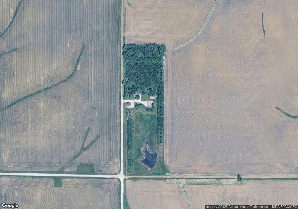
1686 Delta Ave West Branch, IA 52358
Estimated Value: $280,000 - $452,000
4
Beds
2
Baths
1,485
Sq Ft
$261/Sq Ft
Est. Value
About This Home
This home is located at 1686 Delta Ave, West Branch, IA 52358 and is currently estimated at $386,860, approximately $260 per square foot. 1686 Delta Ave is a home located in Cedar County with nearby schools including Hoover Elementary School, West Branch Middle School, and West Branch High School.
Ownership History
Date
Name
Owned For
Owner Type
Purchase Details
Closed on
Jul 13, 2022
Sold by
Alexander Mark D and Alexander Linda J
Bought by
Alexander Mark D and Alexander Linda J
Current Estimated Value
Create a Home Valuation Report for This Property
The Home Valuation Report is an in-depth analysis detailing your home's value as well as a comparison with similar homes in the area
Home Values in the Area
Average Home Value in this Area
Purchase History
| Date | Buyer | Sale Price | Title Company |
|---|---|---|---|
| Alexander Mark D | -- | -- |
Source: Public Records
Tax History Compared to Growth
Tax History
| Year | Tax Paid | Tax Assessment Tax Assessment Total Assessment is a certain percentage of the fair market value that is determined by local assessors to be the total taxable value of land and additions on the property. | Land | Improvement |
|---|---|---|---|---|
| 2025 | $3,996 | $458,700 | $265,200 | $193,500 |
| 2024 | $3,996 | $342,990 | $167,550 | $175,440 |
| 2023 | $3,702 | $319,020 | $167,550 | $151,470 |
| 2022 | $3,160 | $236,440 | $95,680 | $140,760 |
| 2021 | $3,016 | $236,440 | $95,680 | $140,760 |
| 2020 | $2,932 | $210,170 | $85,050 | $125,120 |
| 2019 | $2,550 | $204,160 | $0 | $0 |
| 2018 | $2,494 | $204,160 | $0 | $0 |
| 2017 | $2,494 | $193,060 | $0 | $0 |
| 2016 | $2,598 | $193,060 | $0 | $0 |
| 2015 | $2,624 | $193,060 | $0 | $0 |
| 2014 | $2,556 | $193,900 | $0 | $0 |
Source: Public Records
Map
Nearby Homes
- 325 Elm St
- T.B.D. 275th St
- 12 Bradley Ln Unit AB12
- 63 Eisenhower St Unit GB63
- 27 Bradley Ln Unit AC27
- 33 Lou Henry Ln Unit AM33
- 35 Lou Henry Ln Unit AM35
- 1908 Charles Ave Lot 2
- 3 Grant St Unit GR3
- 557 N 4th St
- 521 N 4th St Unit Louise Court Condos
- 1912 Charles Ave Lot 3
- 121 Northridge Dr Unit 121-139
- 168 290th St
- 1924 Charles Ave Lot 6
- 1928 Charles Ave Lot 7
- 1932 Charles Ave Lot 8
- 426 N 1st St
- 110 Northside Dr
- 1904 Charles Ave
- 269 270th St
- 321 Elm St
- 327 Elm St
- 329 Elm St
- 331 Elm St
- 1748 Delta Ave
- 1776 Delta Ave
- 282 260th St
- 1778 Delta Ave
- 336 260th St
- 289 260th St
- 266 260th St
- 248 260th St
- LOT 3 Baker Ave Reicherts 1st Addition
- LOT 2 Baker Ave Reicherts 1st Addition
- LOT 1 Baker Ave Reicherts 1st Addition
- LOT 52 Pedersen Valley Part Three
- LOT 50 Pedersen Valley Part Three
- 117 Commercial Dr
- Lot 33 Ridge View Dr