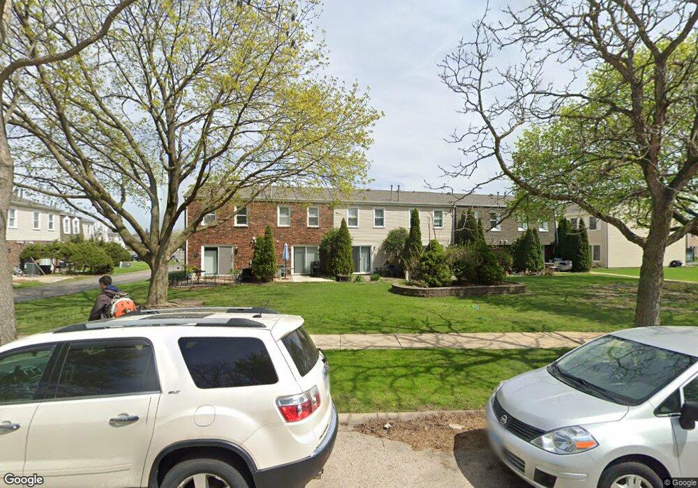
1686 Shamrock Ct Unit 10 Aurora, IL 60505
Indian Creek NeighborhoodEstimated Value: $179,000 - $200,000
--
Bed
--
Bath
1,056
Sq Ft
$177/Sq Ft
Est. Value
About This Home
This home is located at 1686 Shamrock Ct Unit 10, Aurora, IL 60505 and is currently estimated at $187,265, approximately $177 per square foot. 1686 Shamrock Ct Unit 10 is a home located in Kane County with nearby schools including Mabel O Donnell Elementary School, Simmons Middle School, and East Aurora High School.
Ownership History
Date
Name
Owned For
Owner Type
Purchase Details
Closed on
Jun 26, 2020
Sold by
Bardell Tondalaia
Bought by
Bardell Tondalaia and Tondalaia Bardell Revocable Tr
Current Estimated Value
Purchase Details
Closed on
Jan 27, 2006
Sold by
Rw Capital Group Lp
Bought by
Bardell Tondalaia S
Home Financials for this Owner
Home Financials are based on the most recent Mortgage that was taken out on this home.
Original Mortgage
$94,800
Outstanding Balance
$57,832
Interest Rate
7.65%
Mortgage Type
Fannie Mae Freddie Mac
Estimated Equity
$129,433
Purchase Details
Closed on
Oct 7, 2002
Sold by
Widiger Reinhold and Wideger Laverne
Bought by
Rw Managed Capital Group Lp
Create a Home Valuation Report for This Property
The Home Valuation Report is an in-depth analysis detailing your home's value as well as a comparison with similar homes in the area
Home Values in the Area
Average Home Value in this Area
Purchase History
| Date | Buyer | Sale Price | Title Company |
|---|---|---|---|
| Bardell Tondalaia | -- | None Available | |
| Bardell Tondalaia S | $118,500 | First American Title Ins Co | |
| Rw Managed Capital Group Lp | -- | -- |
Source: Public Records
Mortgage History
| Date | Status | Borrower | Loan Amount |
|---|---|---|---|
| Open | Bardell Tondalaia S | $94,800 |
Source: Public Records
Tax History Compared to Growth
Tax History
| Year | Tax Paid | Tax Assessment Tax Assessment Total Assessment is a certain percentage of the fair market value that is determined by local assessors to be the total taxable value of land and additions on the property. | Land | Improvement |
|---|---|---|---|---|
| 2024 | $2,526 | $36,844 | $5,389 | $31,455 |
| 2023 | $2,460 | $32,920 | $4,815 | $28,105 |
| 2022 | $2,282 | $30,036 | $4,393 | $25,643 |
| 2021 | $2,258 | $27,964 | $4,090 | $23,874 |
| 2020 | $2,160 | $25,974 | $3,799 | $22,175 |
| 2019 | $2,121 | $24,066 | $3,520 | $20,546 |
| 2018 | $2,081 | $22,851 | $3,256 | $19,595 |
| 2017 | $2,065 | $21,060 | $2,214 | $18,846 |
| 2016 | $1,313 | $18,474 | $1,898 | $16,576 |
| 2015 | -- | $16,108 | $1,632 | $14,476 |
| 2014 | -- | $13,929 | $1,619 | $12,310 |
| 2013 | -- | $13,310 | $1,547 | $11,763 |
Source: Public Records
Map
Nearby Homes
- 1750 N Marywood Ave Unit 315
- 1826 N Farnsworth Ave
- Lot 1 Reckinger Rd
- 1425 Mcclure Rd Unit 10
- 1953 Charles Ln Unit 1953
- 1923 Schomer Ct
- 1942 Tall Oaks Dr Unit 1A
- 1648 Mcclure Rd Unit 814
- 0000 N Farnsworth Ave
- 440 Woodlyn Dr
- 2315 Nan St
- 451 Turner Rd
- 1771 Briarheath Dr
- 1671 Sheffer Rd
- 1220 Mitchell Rd
- 1009 Assell Ave
- 1176 Heathrow Ln
- 1148 Drury Ln
- 1129 Drury Ln
- 1147 Rural St Unit 41
- 1683 Shamrock Ct Unit 7
- 1687 Shamrock Ct Unit 11
- 1685 Shamrock Ct Unit 9
- 1684 Shamrock Ct Unit 8
- 1677 Shamrock Ct Unit 17
- 1678 Shamrock Ct Unit 18
- 1694 Shamrock Ct Unit 2
- 1676 Shamrock Ct
- 1675 Shamrock Ct Unit 15
- 1673 Shamrock Ct Unit 13
- 1696 Shamrock Ct
- 1674 Shamrock Ct
- 1698 Shamrock Ct Unit 6
- 1693 Shamrock Ct Unit 1
- 1695 Shamrock Ct Unit 3
- 1697 Shamrock Ct
- 1668 Shamrock Ct
- 1680 Shamrock Ct Unit 82
- 1667 Shamrock Ct Unit 23
- 1245 Marywood Ct Unit 1245