1686 Shoal Rd Lincolnton, NC 28092
Estimated Value: $189,000
--
Bed
--
Bath
--
Sq Ft
1.93
Acres
About This Home
This home is located at 1686 Shoal Rd, Lincolnton, NC 28092 and is currently estimated at $189,000. 1686 Shoal Rd is a home with nearby schools including Norris S. Childers Elementary School, West Lincoln Middle, and West Lincoln High School.
Ownership History
Date
Name
Owned For
Owner Type
Purchase Details
Closed on
Oct 2, 2014
Sold by
Aguilar Emilio Romero and Aguilar Maria Rosa
Bought by
Smith Danny T
Current Estimated Value
Home Financials for this Owner
Home Financials are based on the most recent Mortgage that was taken out on this home.
Original Mortgage
$29,500
Outstanding Balance
$9,925
Interest Rate
4.16%
Mortgage Type
Unknown
Estimated Equity
$179,075
Purchase Details
Closed on
May 25, 1994
Bought by
Smith Danny T and Sylvia Ann Smith
Create a Home Valuation Report for This Property
The Home Valuation Report is an in-depth analysis detailing your home's value as well as a comparison with similar homes in the area
Home Values in the Area
Average Home Value in this Area
Purchase History
| Date | Buyer | Sale Price | Title Company |
|---|---|---|---|
| Smith Danny T | $27,500 | None Available | |
| Smith Danny T | $10,000 | -- |
Source: Public Records
Mortgage History
| Date | Status | Borrower | Loan Amount |
|---|---|---|---|
| Open | Smith Danny T | $29,500 |
Source: Public Records
Tax History Compared to Growth
Tax History
| Year | Tax Paid | Tax Assessment Tax Assessment Total Assessment is a certain percentage of the fair market value that is determined by local assessors to be the total taxable value of land and additions on the property. | Land | Improvement |
|---|---|---|---|---|
| 2025 | $395 | $40,141 | $34,157 | $5,984 |
| 2024 | $375 | $40,141 | $34,157 | $5,984 |
| 2023 | $370 | $40,141 | $34,157 | $5,984 |
| 2022 | $357 | $32,108 | $26,478 | $5,630 |
| 2021 | $357 | $32,108 | $26,478 | $5,630 |
| 2020 | $236 | $32,108 | $26,478 | $5,630 |
| 2019 | $236 | $32,108 | $26,478 | $5,630 |
| 2018 | $294 | $26,321 | $24,885 | $1,436 |
| 2017 | $193 | $26,321 | $24,885 | $1,436 |
| 2016 | $193 | $0 | $0 | $0 |
| 2015 | $275 | $26,321 | $24,885 | $1,436 |
| 2014 | $280 | $28,120 | $26,165 | $1,955 |
Source: Public Records
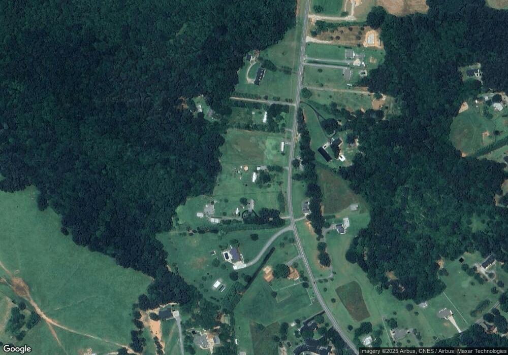
Map
Nearby Homes
- 2124 Shoal Rd
- 5740 Crouse Rd
- 5199 Helms End of Trail
- 00 Flay Rd
- 1495 Leonards Fork Church Rd
- 4850 Gideon Dr
- 5118 Flay Rd
- 2488 Shoal Rd
- 4832 Gideon Dr
- 508 Shoal Rd
- 00 McCurry Farm Ln Unit F1 & F2
- 2449 Leonhardt Rd
- 00 N Carolina 182
- 3987 W Highway 27
- 00 Westwinds Rd Unit F3
- 4773 Westwinds Rd
- 000 Leonards Fork Church Rd
- 1000 Creekside Dr
- 1357 Malden Ct
- 00 Star Ln Unit 1
- 1677 Shoal Rd
- 1708 Shoal Rd
- 0000 Shoal Rd
- 1701 Shoal Rd
- 1722 Shoal Rd
- 1640 Shoal Rd
- 1657 Shoal Rd
- 7.6 acres Shoal Rd
- 1618 Shoal Rd
- 1618 Shoal Rd Unit 3-5+ Triangle Iva Ac
- 00 Johnstown Rd
- 10 Johnstown Rd
- 1751 Shoal Rd
- 1742 Shoal Rd
- 1615 Shoal Rd
- 1629 Shoal Rd
- 1553 Shoal Rd
- 1607 Shoal Rd
- 4144 Nc 182 Hwy
- 8.5 Hwy 182 Unit 1-6