16860 209th St Davenport, IA 52806
Outer Davenport/Bettendorf NeighborhoodEstimated Value: $143,000 - $156,000
1
Bed
1
Bath
757
Sq Ft
$195/Sq Ft
Est. Value
About This Home
This home is located at 16860 209th St, Davenport, IA 52806 and is currently estimated at $147,245, approximately $194 per square foot. 16860 209th St is a home located in Scott County with nearby schools including Alan Shepard Elementary School, North Scott Junior High School, and North Scott Senior High School.
Ownership History
Date
Name
Owned For
Owner Type
Purchase Details
Closed on
Sep 12, 2024
Sold by
Ruhl Alene F
Bought by
Smith Brendan R
Current Estimated Value
Home Financials for this Owner
Home Financials are based on the most recent Mortgage that was taken out on this home.
Original Mortgage
$112,000
Outstanding Balance
$110,741
Interest Rate
6.47%
Mortgage Type
New Conventional
Estimated Equity
$36,504
Create a Home Valuation Report for This Property
The Home Valuation Report is an in-depth analysis detailing your home's value as well as a comparison with similar homes in the area
Home Values in the Area
Average Home Value in this Area
Purchase History
| Date | Buyer | Sale Price | Title Company |
|---|---|---|---|
| Smith Brendan R | $140,000 | None Listed On Document |
Source: Public Records
Mortgage History
| Date | Status | Borrower | Loan Amount |
|---|---|---|---|
| Open | Smith Brendan R | $112,000 |
Source: Public Records
Tax History Compared to Growth
Tax History
| Year | Tax Paid | Tax Assessment Tax Assessment Total Assessment is a certain percentage of the fair market value that is determined by local assessors to be the total taxable value of land and additions on the property. | Land | Improvement |
|---|---|---|---|---|
| 2025 | $1,254 | $145,000 | $51,500 | $93,500 |
| 2024 | $1,298 | $142,700 | $51,500 | $91,200 |
| 2023 | $1,168 | $142,700 | $51,500 | $91,200 |
| 2022 | $1,158 | $105,650 | $30,900 | $74,750 |
| 2021 | $1,158 | $105,650 | $30,900 | $74,750 |
| 2020 | $1,134 | $98,570 | $30,900 | $67,670 |
| 2019 | $1,188 | $98,570 | $30,900 | $67,670 |
| 2018 | $1,220 | $98,570 | $30,900 | $67,670 |
| 2017 | $1,158 | $98,570 | $30,900 | $67,670 |
| 2016 | $1,130 | $91,370 | $0 | $0 |
| 2015 | $1,130 | $91,370 | $0 | $0 |
| 2014 | $1,150 | $91,370 | $0 | $0 |
| 2013 | $1,132 | $0 | $0 | $0 |
| 2012 | -- | $94,950 | $30,900 | $64,050 |
Source: Public Records
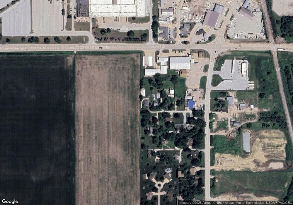
Map
Nearby Homes
- 3215 S 16th Ave Unit 201
- SEQ - Division W 76th St
- 1010 Olde Brandy Ln
- SWQ - Division W 76th St
- Division St N & W 76th St
- 1070 Olde Brandy Ln
- Lot 56 Franklin Ave
- LOT 54 Franklin Ave
- 6308 Appomattox Rd
- 665 W 64th St
- 6524 Lillie Ave
- 6310 Deere Creek Ln
- Lot 26 Benjamin Ct
- 6224 Deere Creek Ln
- 6109 N Brady St
- 1564 Olde Brandy Ln
- 6215 Deere Creek Ln
- 6211 Deere Creek Ln
- 6127 Fair Ave
- 6205 N Ripley St
- 16880 209th St
- 20854 168th Ave
- 16900 209th St
- 16913 209th St
- 16913 209th St
- 20826 168th Ave
- 16881 210th St
- 16920 209th St
- 16900 208th St
- 16900 208th St
- 20840 N Brady St
- 16987 209th St
- 16935 210th St
- 16885 208th St
- 16865 208th St
- 20808 N Brady St
- 16919 208th St
- 20966 N Brady St Unit 20980
- 20780 N Brady St
- 20708 169th Ave