16864 Mcleod Rd Redding, CA 96003
Estimated Value: $305,537 - $370,000
3
Beds
2
Baths
1,240
Sq Ft
$272/Sq Ft
Est. Value
About This Home
This home is located at 16864 Mcleod Rd, Redding, CA 96003 and is currently estimated at $337,634, approximately $272 per square foot. 16864 Mcleod Rd is a home located in Shasta County with nearby schools including Redding STEM Academy.
Ownership History
Date
Name
Owned For
Owner Type
Purchase Details
Closed on
May 2, 2008
Sold by
Martin James D
Bought by
Martin Judi I
Current Estimated Value
Purchase Details
Closed on
Jul 9, 1999
Sold by
Kiarsis Felix and Kiarsis Deborah F
Bought by
Martin James D and Martin Judi I
Home Financials for this Owner
Home Financials are based on the most recent Mortgage that was taken out on this home.
Original Mortgage
$87,900
Outstanding Balance
$24,524
Interest Rate
7.51%
Estimated Equity
$313,110
Create a Home Valuation Report for This Property
The Home Valuation Report is an in-depth analysis detailing your home's value as well as a comparison with similar homes in the area
Purchase History
| Date | Buyer | Sale Price | Title Company |
|---|---|---|---|
| Martin Judi I | -- | None Available | |
| Martin James D | $110,000 | Placer Title Company |
Source: Public Records
Mortgage History
| Date | Status | Borrower | Loan Amount |
|---|---|---|---|
| Open | Martin James D | $87,900 |
Source: Public Records
Tax History
| Year | Tax Paid | Tax Assessment Tax Assessment Total Assessment is a certain percentage of the fair market value that is determined by local assessors to be the total taxable value of land and additions on the property. | Land | Improvement |
|---|---|---|---|---|
| 2025 | $1,982 | $189,142 | $61,465 | $127,677 |
| 2024 | $1,944 | $185,434 | $60,260 | $125,174 |
| 2023 | $1,944 | $181,799 | $59,079 | $122,720 |
| 2022 | $1,890 | $178,235 | $57,921 | $120,314 |
| 2021 | $1,864 | $174,741 | $56,786 | $117,955 |
| 2020 | $1,855 | $172,950 | $56,204 | $116,746 |
| 2019 | $1,797 | $169,559 | $55,102 | $114,457 |
| 2018 | $1,795 | $166,235 | $54,022 | $112,213 |
| 2017 | $1,764 | $162,976 | $52,963 | $110,013 |
| 2016 | $1,686 | $159,781 | $51,925 | $107,856 |
| 2015 | $1,659 | $157,382 | $51,146 | $106,236 |
| 2014 | $1,670 | $154,300 | $50,145 | $104,155 |
Source: Public Records
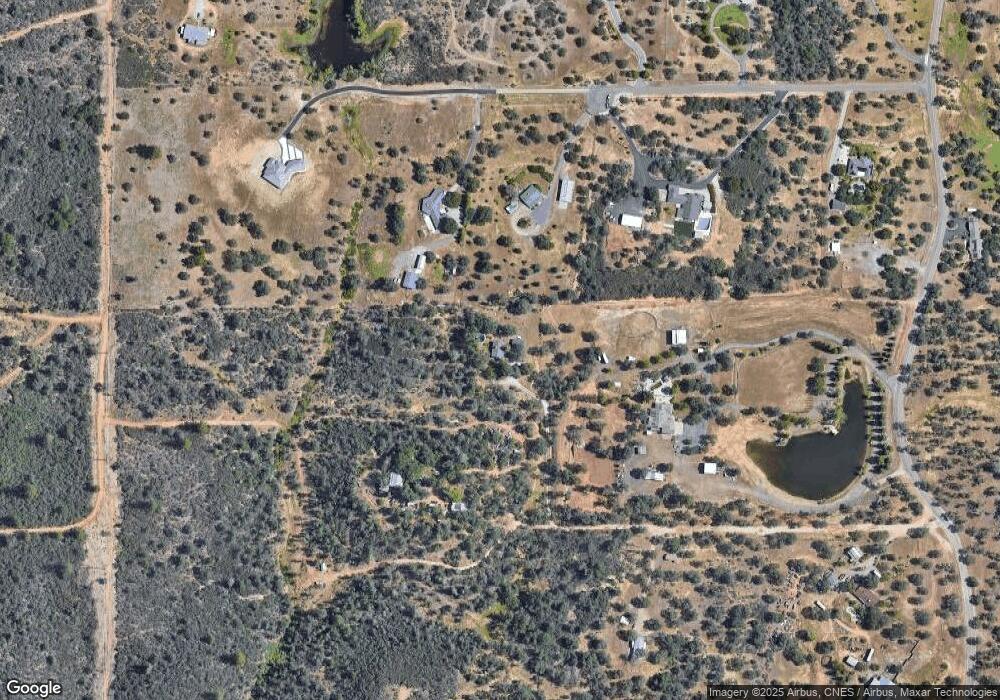
Map
Nearby Homes
- 16810 Winchell Dr
- 11326 Puffin Way
- 17014 Keswick Dam Rd
- 2580 Keswick Dam Rd
- 17007 Keswick Dam Rd
- 11746 Nash Rd
- 3082, 3060 Keswick Dam Rd
- 3509 Old Lantern Dr
- 16156 Stone St
- 2935 Quartz Hill Rd
- 1384 Spinnaker Dr
- 1378 Spinnaker Dr
- 2966 Quartz Hill Rd
- 3130 Lakey Ln
- 3105 Jordan Ln
- 3150 Haley Ln
- 4846 Ferrington Ct
- 4806 Ferrington Ct
- 1702/1720 Mckinney Ln
- 16266 Gold Pan Way
- 16812 Mcleod Rd
- 16899 Ski Way
- 0 Ski Way
- 16885 Mcleod Rd
- 16917 Ski Way
- 11610 Quartz Hill Rd
- 16900 Ski Way
- 16753 Eastshore Rd
- 16740 Mcleod Rd
- 11701 Quartz Hill Rd
- 11778 Quartz Hill Rd
- 11574 Quartz Hill Rd
- 16757 Eastshore Rd
- 11554 Quartz Hill Rd
- 35 acres Eastshore Rd
- Lot 3 Eastshore Rd
- Lot 7 Eastshore Rd
- Lot4 & 6 Eastshore Rd
- 0 Eastshore Rd
- 11800 Quartz Hill Rd
Your Personal Tour Guide
Ask me questions while you tour the home.