16872 Michaels Rd Leavenworth, KS 66048
Estimated Value: $445,000 - $629,617
4
Beds
4
Baths
3,000
Sq Ft
$186/Sq Ft
Est. Value
About This Home
This home is located at 16872 Michaels Rd, Leavenworth, KS 66048 and is currently estimated at $558,404, approximately $186 per square foot. 16872 Michaels Rd is a home located in Leavenworth County with nearby schools including Henry Leavenworth, Richard Warren Middle School, and Leavenworth Senior High School.
Ownership History
Date
Name
Owned For
Owner Type
Purchase Details
Closed on
Nov 25, 2019
Sold by
Visocsky Joshua E and Visocsky Lisa L
Bought by
Abbott Robert E and Jenkins Ronda
Current Estimated Value
Home Financials for this Owner
Home Financials are based on the most recent Mortgage that was taken out on this home.
Original Mortgage
$237,920
Interest Rate
3.7%
Mortgage Type
New Conventional
Purchase Details
Closed on
Oct 18, 2013
Sold by
Steven Wiley
Bought by
Visocsky Joshua E and Visocsky Lisa L
Create a Home Valuation Report for This Property
The Home Valuation Report is an in-depth analysis detailing your home's value as well as a comparison with similar homes in the area
Home Values in the Area
Average Home Value in this Area
Purchase History
| Date | Buyer | Sale Price | Title Company |
|---|---|---|---|
| Abbott Robert E | -- | Continental Title | |
| Visocsky Joshua E | -- | Premier Title Co |
Source: Public Records
Mortgage History
| Date | Status | Borrower | Loan Amount |
|---|---|---|---|
| Closed | Abbott Robert E | $237,920 |
Source: Public Records
Tax History Compared to Growth
Tax History
| Year | Tax Paid | Tax Assessment Tax Assessment Total Assessment is a certain percentage of the fair market value that is determined by local assessors to be the total taxable value of land and additions on the property. | Land | Improvement |
|---|---|---|---|---|
| 2025 | $6,817 | $64,485 | $12,330 | $52,155 |
| 2024 | $6,689 | $61,594 | $10,886 | $50,708 |
| 2023 | $6,689 | $59,800 | $10,886 | $48,914 |
| 2022 | $5,062 | $46,536 | $5,503 | $41,033 |
| 2021 | $4,429 | $38,908 | $4,591 | $34,317 |
| 2020 | $4,186 | $36,701 | $4,414 | $32,287 |
| 2019 | $4,048 | $35,153 | $4,060 | $31,093 |
| 2018 | $4,279 | $36,816 | $4,035 | $32,781 |
| 2017 | $2,100 | $17,605 | $3,966 | $13,639 |
| 2016 | $569 | $5,053 | $3,903 | $1,150 |
| 2015 | -- | $4,073 | $4,073 | $0 |
| 2014 | -- | $3,931 | $3,931 | $0 |
Source: Public Records
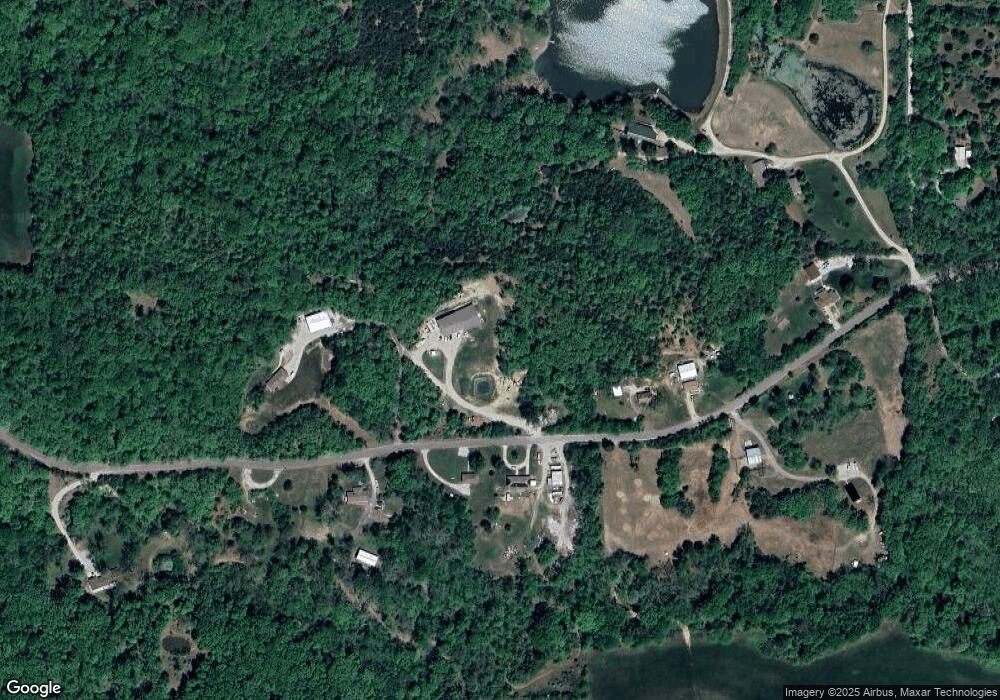
Map
Nearby Homes
- 00000 Michals Rd
- 2151 Shenandoah Dr
- 4236 Clayton Ct
- 2150 Shenandoah Dr
- 3703 Clayton Dr
- 17096 Eisenhower Rd
- 2248 Vilas St
- 2100 Limit St
- 2105 Vilas St
- 17470 Springdale Rd
- 2308 Hebbeln Dr
- 00000 Edwards Terrace
- 0000 Eisenhower Rd
- Lot 5 Bauserman Rd
- 3903 S 20th St
- 2510 S 19th Terrace
- 2516 Kensington Place
- 1908 Pine Ridge Dr
- 16055 W Eisenhower Rd
- 1815 Pine Ridge Dr
- 16925 Michals Rd
- 16875 Michals Rd
- 16818 Michals Rd
- 16920 Michals Rd
- 16802 Michals Rd
- 16959 Michals Rd
- 28013 167th St
- 16779 Michals Rd
- 16779 Michals Rd
- 16730 Michals Rd
- 17001 Michaels Rd
- 17038 Michals Rd
- 000000 Michals Rd
- 28026 167th St
- 16681 Michals Rd
- 28288 167th St
- 17281 Michals Rd
- 4140 Cades Cove
- 4123 Cades Cove
- 4136 Cades Cove