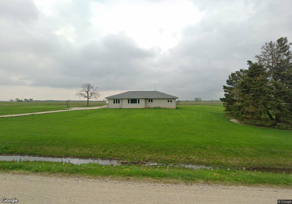
16880 Hanson Rd Minooka, IL 60447
North Minooka NeighborhoodEstimated Value: $310,000 - $432,000
3
Beds
2
Baths
1,908
Sq Ft
$200/Sq Ft
Est. Value
About This Home
This home is located at 16880 Hanson Rd, Minooka, IL 60447 and is currently estimated at $381,744, approximately $200 per square foot. 16880 Hanson Rd is a home located in Kendall County with nearby schools including Jones Elementary School, Minooka Junior High School, and Minooka Intermediate School.
Ownership History
Date
Name
Owned For
Owner Type
Purchase Details
Closed on
Jun 17, 2024
Sold by
Rapp Charles J and Rapp Jeanne M
Bought by
Bolte Ryan and Bolte Megan
Current Estimated Value
Home Financials for this Owner
Home Financials are based on the most recent Mortgage that was taken out on this home.
Original Mortgage
$351,200
Outstanding Balance
$347,209
Interest Rate
7.62%
Mortgage Type
New Conventional
Estimated Equity
$34,535
Purchase Details
Closed on
Aug 1, 1987
Create a Home Valuation Report for This Property
The Home Valuation Report is an in-depth analysis detailing your home's value as well as a comparison with similar homes in the area
Home Values in the Area
Average Home Value in this Area
Purchase History
| Date | Buyer | Sale Price | Title Company |
|---|---|---|---|
| Bolte Ryan | $439,000 | Fidelity Title | |
| -- | $1,500 | -- |
Source: Public Records
Mortgage History
| Date | Status | Borrower | Loan Amount |
|---|---|---|---|
| Open | Bolte Ryan | $351,200 |
Source: Public Records
Tax History Compared to Growth
Tax History
| Year | Tax Paid | Tax Assessment Tax Assessment Total Assessment is a certain percentage of the fair market value that is determined by local assessors to be the total taxable value of land and additions on the property. | Land | Improvement |
|---|---|---|---|---|
| 2024 | $7,908 | $112,382 | $12,284 | $100,098 |
| 2023 | $6,614 | $101,072 | $11,699 | $89,373 |
| 2022 | $6,614 | $93,796 | $10,537 | $83,259 |
| 2021 | $6,388 | $88,963 | $10,697 | $78,266 |
| 2020 | $6,118 | $83,684 | $10,062 | $73,622 |
| 2019 | $5,974 | $80,065 | $9,627 | $70,438 |
| 2018 | $5,609 | $76,475 | $9,627 | $66,848 |
| 2017 | $5,503 | $72,395 | $9,627 | $62,768 |
| 2016 | $5,054 | $66,983 | $9,508 | $57,475 |
| 2015 | $4,779 | $63,570 | $9,508 | $54,062 |
| 2014 | -- | $63,570 | $9,508 | $54,062 |
| 2013 | -- | $63,570 | $9,508 | $54,062 |
Source: Public Records
Map
Nearby Homes
- 2050 Isabella Ln
- 194 acres W Holt Rd
- 2041 Isabella Ln
- Lot 1 Minooka Ridge & Jones Rd
- 1133 Coneflower Ct
- 6010-6060 E Minooka Rd
- 2817 Ninovan Ln
- 2812 Ninovan Ln
- 2813 Ninovan Ln
- 1510 Balboa Dr
- 2823 Ninovan Ln
- 2811 Ninovan Ln
- 819 Daniel Dr
- 215 Slalom Ct
- 24 Aspen St
- 2037 Isabella Ln
- 28 Doral St
- LOT 1 Bob Blair Rd
- 15781 Brisbin Rd
- 817 Casey Dr
- 16765 Hanson Rd
- 16610 Hanson Rd
- 16976 Obrien Rd
- 2851 Wildy Rd
- 3675 Holt Rd
- 2851 Holt Rd
- 3050 Holt Rd
- 16924 O Brien Rd
- 16726 Obrien Rd
- 16776 Obrien Rd
- 3526 Holt Rd
- 2033 Isabella
- Lot #34 Frontier Ln
- 0000 Nwc Us Route 6 & Waters Edge Dr
- Unincorporated Ridge & Jones Rd
- VL S Ingolsby Rd
- 5490 E Minooka Rd
- 0 Ridge Rd Unit MRD06686993
- LOT 6 Bob Blair Rd Rd
- LT 170 Hunter