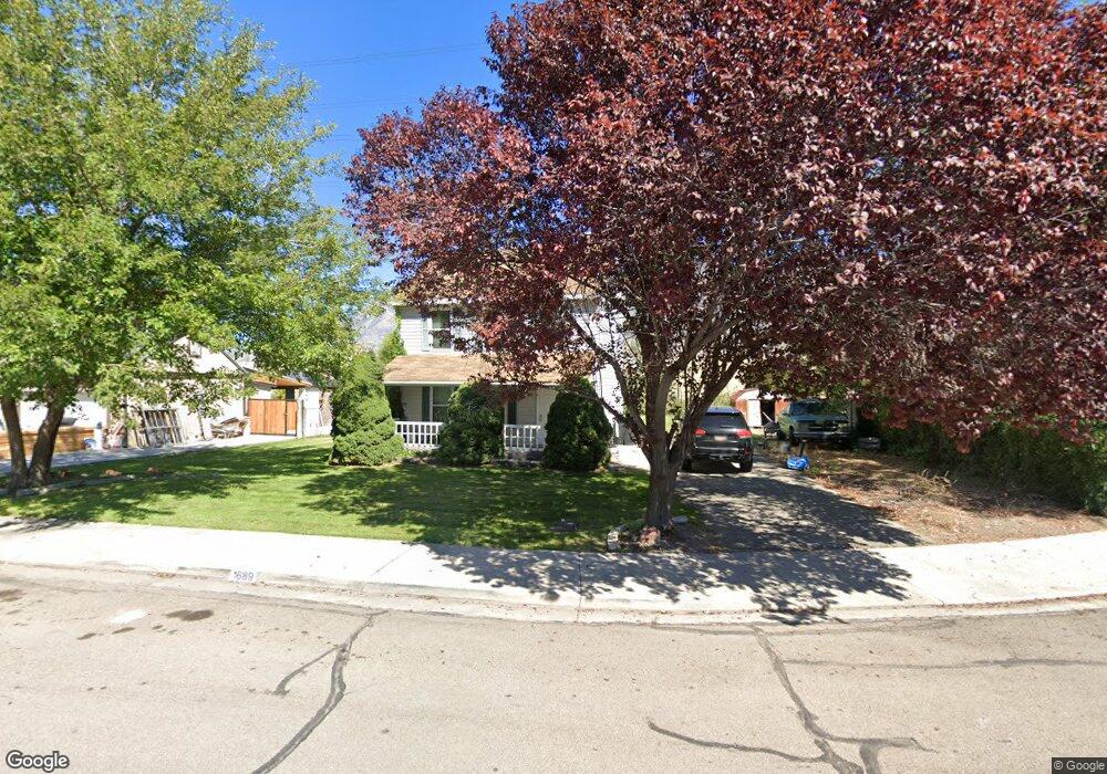
1689 S 300 W Unit 1 Provo, UT 84601
Franklin NeighborhoodEstimated Value: $405,000 - $448,000
3
Beds
1
Bath
1,160
Sq Ft
$369/Sq Ft
Est. Value
About This Home
This home is located at 1689 S 300 W Unit 1, Provo, UT 84601 and is currently estimated at $427,880, approximately $368 per square foot. 1689 S 300 W Unit 1 is a home located in Utah County with nearby schools including Franklin Elementary School, Dixon Middle School, and Provo High School.
Ownership History
Date
Name
Owned For
Owner Type
Purchase Details
Closed on
Oct 12, 1998
Sold by
Jarvis Jerad and Maus William L
Bought by
Jarvis Jerad
Current Estimated Value
Purchase Details
Closed on
Aug 8, 1997
Sold by
Simpson Judy J
Bought by
Jarvis Jerad and Maus William L
Home Financials for this Owner
Home Financials are based on the most recent Mortgage that was taken out on this home.
Original Mortgage
$94,900
Interest Rate
7.57%
Purchase Details
Closed on
Aug 7, 1997
Sold by
Johnson Douglas A and Johnson Minnie M
Bought by
Simpson Judy J
Home Financials for this Owner
Home Financials are based on the most recent Mortgage that was taken out on this home.
Original Mortgage
$94,900
Interest Rate
7.57%
Create a Home Valuation Report for This Property
The Home Valuation Report is an in-depth analysis detailing your home's value as well as a comparison with similar homes in the area
Home Values in the Area
Average Home Value in this Area
Purchase History
| Date | Buyer | Sale Price | Title Company |
|---|---|---|---|
| Jarvis Jerad | -- | Mountain West Title Company | |
| Jarvis Jerad | -- | -- | |
| Simpson Judy J | -- | -- |
Source: Public Records
Mortgage History
| Date | Status | Borrower | Loan Amount |
|---|---|---|---|
| Previous Owner | Jarvis Jerad | $94,900 |
Source: Public Records
Tax History Compared to Growth
Tax History
| Year | Tax Paid | Tax Assessment Tax Assessment Total Assessment is a certain percentage of the fair market value that is determined by local assessors to be the total taxable value of land and additions on the property. | Land | Improvement |
|---|---|---|---|---|
| 2025 | $2,034 | $208,725 | $177,900 | $201,600 |
| 2024 | $2,043 | $200,255 | $0 | $0 |
| 2023 | $2,043 | $198,220 | $0 | $0 |
| 2022 | $2,014 | $197,065 | $0 | $0 |
| 2021 | $1,502 | $256,300 | $97,600 | $158,700 |
| 2020 | $1,456 | $233,000 | $88,700 | $144,300 |
| 2019 | $1,392 | $231,600 | $88,700 | $142,900 |
| 2018 | $1,218 | $205,600 | $81,300 | $124,300 |
| 2017 | $1,103 | $102,300 | $0 | $0 |
| 2016 | $1,009 | $87,230 | $0 | $0 |
| 2015 | $980 | $85,635 | $0 | $0 |
| 2014 | $857 | $78,045 | $0 | $0 |
Source: Public Records
Map
Nearby Homes
- 311 W 1610 S
- 393 Lakewood Dr
- 588 W 1720 S
- 661 W 1920 S Unit 1072
- 655 W 1280 S
- 1095 S 500 W Unit 11
- 272 W 1020 S Unit B
- 1125 S 770 W
- 933 S Blvd W
- 151 S Meadow Dr Unit 19
- 151 S Meadow Dr
- 914 W 1150 S Unit 2
- 908 W 1150 S Unit 3
- 648 S 500 W Unit 4
- 784 W Heather Ln
- 608 S 500 W Unit 3
- 330 W 600 S
- 761 W 600 S Unit 12
- 516 S Freedom Blvd
- 389 W 500 S