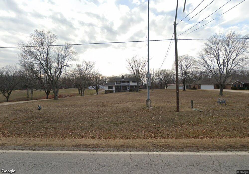
1689 S Curtis Ave Pea Ridge, AR 72751
Estimated Value: $438,130 - $625,000
--
Bed
2
Baths
2,818
Sq Ft
$184/Sq Ft
Est. Value
About This Home
This home is located at 1689 S Curtis Ave, Pea Ridge, AR 72751 and is currently estimated at $517,533, approximately $183 per square foot. 1689 S Curtis Ave is a home located in Benton County with nearby schools including Pea Ridge Intermediate School, Pea Ridge Primary School, and Pea Ridge Middle School.
Ownership History
Date
Name
Owned For
Owner Type
Purchase Details
Closed on
Dec 16, 2005
Sold by
Richardson Lloyd Dale and Richardson Lois S
Bought by
Swift Ronald D and Swift Loy D
Current Estimated Value
Home Financials for this Owner
Home Financials are based on the most recent Mortgage that was taken out on this home.
Original Mortgage
$141,500
Outstanding Balance
$79,217
Interest Rate
6.3%
Mortgage Type
New Conventional
Estimated Equity
$438,316
Purchase Details
Closed on
Jun 8, 1962
Bought by
Richardson
Create a Home Valuation Report for This Property
The Home Valuation Report is an in-depth analysis detailing your home's value as well as a comparison with similar homes in the area
Home Values in the Area
Average Home Value in this Area
Purchase History
| Date | Buyer | Sale Price | Title Company |
|---|---|---|---|
| Swift Ronald D | $180,000 | None Available | |
| Richardson | -- | -- |
Source: Public Records
Mortgage History
| Date | Status | Borrower | Loan Amount |
|---|---|---|---|
| Open | Swift Ronald D | $141,500 |
Source: Public Records
Tax History Compared to Growth
Tax History
| Year | Tax Paid | Tax Assessment Tax Assessment Total Assessment is a certain percentage of the fair market value that is determined by local assessors to be the total taxable value of land and additions on the property. | Land | Improvement |
|---|---|---|---|---|
| 2025 | $2,550 | $73,056 | $10,000 | $63,056 |
| 2024 | $2,497 | $73,056 | $10,000 | $63,056 |
| 2023 | $2,378 | $52,480 | $3,800 | $48,680 |
| 2022 | $1,999 | $52,480 | $3,800 | $48,680 |
| 2021 | $1,870 | $52,480 | $3,800 | $48,680 |
| 2020 | $1,834 | $37,800 | $1,500 | $36,300 |
| 2019 | $1,746 | $37,800 | $1,500 | $36,300 |
| 2018 | $1,683 | $37,800 | $1,500 | $36,300 |
| 2017 | $1,387 | $37,800 | $1,500 | $36,300 |
| 2016 | $1,387 | $37,800 | $1,500 | $36,300 |
| 2015 | $1,655 | $29,080 | $3,200 | $25,880 |
| 2014 | $1,305 | $29,080 | $3,200 | $25,880 |
Source: Public Records
Map
Nearby Homes
- 1616 S Curtis Ave
- 1330 S Curtis Ave
- TBD Pace Ln
- 1660 Conrad St
- 1272 Pace Ln
- 1306 Shepherd St
- 542 Oneida Cir
- 1172 Nemett Dr
- 738 Cardin Spur
- 561 Oneida Cir
- 560 Forrest Dr
- 575 Sugar Creek Rd
- 21.4 AC Sugar Creek Rd
- 21 AC Sugar Creek Rd
- 500 Fox Cir
- 0 Sugar Creek Rd
- 215 Hunt St
- 499 S Davis St
- 0 S Davis St
- 2585 Peck Rd
- 1689 S Curtis Ave
- 1631 S Curtis Ave
- 1631 S Curtis Ave
- 1644 S Curtis Ave
- 1644 S Curtis Ave
- 1719 S Curtis Ave
- 1698 S Curtis Ave
- 1535 S Curtis Ave
- 1588 S Curtis Ave
- 1729 S Curtis Ave
- 1503 S Curtis Ave
- 1716 S Curtis Ave Unit 94
- 1789 S Curtis Ave Unit 94
- 1502 S Curtis Ave Unit 49
- 1637 Jenks Ct
- 1697 Jenks Ct
- 1601 Jenks Ct
- 106 Cardin Rd
- 1455 Erwin Ln
- 1589 Jenks Ct