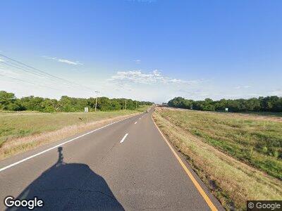
16897 W Highway 51 Marshall, OK 73056
Estimated Value: $121,000 - $927,000
--
Bed
--
Bath
2,529
Sq Ft
$166/Sq Ft
Est. Value
About This Home
This home is located at 16897 W Highway 51, Marshall, OK 73056 and is currently estimated at $419,672, approximately $165 per square foot. 16897 W Highway 51 is a home located in Logan County with nearby schools including Covington-Douglas Elementary School and Covington-Douglas High School.
Ownership History
Date
Name
Owned For
Owner Type
Purchase Details
Closed on
Oct 16, 2008
Sold by
Belford Rusty H and Belford Debra P
Bought by
Belford Rusty H and Belford Debra P
Current Estimated Value
Purchase Details
Closed on
Nov 9, 2007
Sold by
Mefferd J R
Bought by
Pollard Belford Rusty H and Pollard Belford Debra
Home Financials for this Owner
Home Financials are based on the most recent Mortgage that was taken out on this home.
Original Mortgage
$160,000
Interest Rate
6.42%
Mortgage Type
Unknown
Create a Home Valuation Report for This Property
The Home Valuation Report is an in-depth analysis detailing your home's value as well as a comparison with similar homes in the area
Home Values in the Area
Average Home Value in this Area
Purchase History
| Date | Buyer | Sale Price | Title Company |
|---|---|---|---|
| Belford Rusty H | -- | None Available | |
| Pollard Belford Rusty H | $480,000 | None Available |
Source: Public Records
Mortgage History
| Date | Status | Borrower | Loan Amount |
|---|---|---|---|
| Open | Belford Family Revocable Trust | $2,450,000 | |
| Closed | Pollard Belford Rusty H | $160,000 |
Source: Public Records
Tax History Compared to Growth
Tax History
| Year | Tax Paid | Tax Assessment Tax Assessment Total Assessment is a certain percentage of the fair market value that is determined by local assessors to be the total taxable value of land and additions on the property. | Land | Improvement |
|---|---|---|---|---|
| 2024 | $1,512 | $15,275 | $3,508 | $11,767 |
| 2023 | $1,512 | $14,831 | $3,310 | $11,521 |
| 2022 | $1,359 | $14,777 | $3,699 | $11,078 |
| 2021 | $1,400 | $14,756 | $3,699 | $11,057 |
| 2020 | $1,337 | $14,554 | $3,699 | $10,855 |
| 2019 | $1,305 | $14,726 | $3,644 | $11,082 |
| 2018 | $1,168 | $14,297 | $3,215 | $11,082 |
| 2017 | $1,224 | $14,978 | $3,215 | $11,763 |
| 2016 | $1,195 | $14,597 | $3,177 | $11,420 |
| 2014 | $1,099 | $13,759 | $3,043 | $10,716 |
| 2013 | $1,129 | $15,010 | $3,320 | $11,690 |
Source: Public Records
Map
Nearby Homes
- 17779 N Western Ave
- 7676 W County Road 66
- 14270 W County Road 70
- 0 Rockwell Ave
- 9415 Rockwell Ave
- 23900 N Broadway
- 0 N Broadway
- 0 N 2980 Rd
- 0 Bryant Rd
- 119 E Washington St
- 701 W Jefferson St
- 712 W Madison St
- 316 E Jefferson St
- 7990 N Sanderson Terrace
- 12585 Aldridge Ct
- 225 N Fir St
- 0 S Magnolia St
- 308 W Adams St
- 105 S Magnolia St
- 326 S Locust St
