169 Aa Landing Rd Glenburn, ME 04401
Estimated Value: $403,000 - $741,881
3
Beds
4
Baths
1,860
Sq Ft
$307/Sq Ft
Est. Value
About This Home
This home is located at 169 Aa Landing Rd, Glenburn, ME 04401 and is currently estimated at $570,970, approximately $306 per square foot. 169 Aa Landing Rd is a home with nearby schools including Glenburn Elementary School, Orono Middle School, and Orono High School.
Ownership History
Date
Name
Owned For
Owner Type
Purchase Details
Closed on
Apr 3, 2020
Sold by
Garnett Robert E
Bought by
Stanley Bryan C and Stanley Charles Colette
Current Estimated Value
Home Financials for this Owner
Home Financials are based on the most recent Mortgage that was taken out on this home.
Original Mortgage
$485,000
Outstanding Balance
$429,651
Interest Rate
3.4%
Mortgage Type
New Conventional
Estimated Equity
$141,319
Create a Home Valuation Report for This Property
The Home Valuation Report is an in-depth analysis detailing your home's value as well as a comparison with similar homes in the area
Home Values in the Area
Average Home Value in this Area
Purchase History
| Date | Buyer | Sale Price | Title Company |
|---|---|---|---|
| Stanley Bryan C | -- | None Available |
Source: Public Records
Mortgage History
| Date | Status | Borrower | Loan Amount |
|---|---|---|---|
| Open | Stanley Bryan C | $485,000 |
Source: Public Records
Tax History Compared to Growth
Tax History
| Year | Tax Paid | Tax Assessment Tax Assessment Total Assessment is a certain percentage of the fair market value that is determined by local assessors to be the total taxable value of land and additions on the property. | Land | Improvement |
|---|---|---|---|---|
| 2024 | $10,210 | $478,200 | $164,700 | $313,500 |
| 2023 | $10,172 | $434,700 | $149,700 | $285,000 |
| 2022 | $10,277 | $431,800 | $149,700 | $282,100 |
| 2021 | $10,255 | $431,800 | $149,700 | $282,100 |
| 2020 | $10,275 | $365,800 | $121,900 | $243,900 |
| 2019 | $9,675 | $365,800 | $121,900 | $243,900 |
| 2018 | $9,877 | $365,800 | $121,900 | $243,900 |
| 2017 | $8,445 | $324,800 | $121,900 | $202,900 |
| 2016 | $8,123 | $326,900 | $121,900 | $205,000 |
| 2015 | $7,976 | $326,900 | $121,900 | $205,000 |
| 2014 | $3,403 | $142,700 | $128,400 | $14,300 |
Source: Public Records
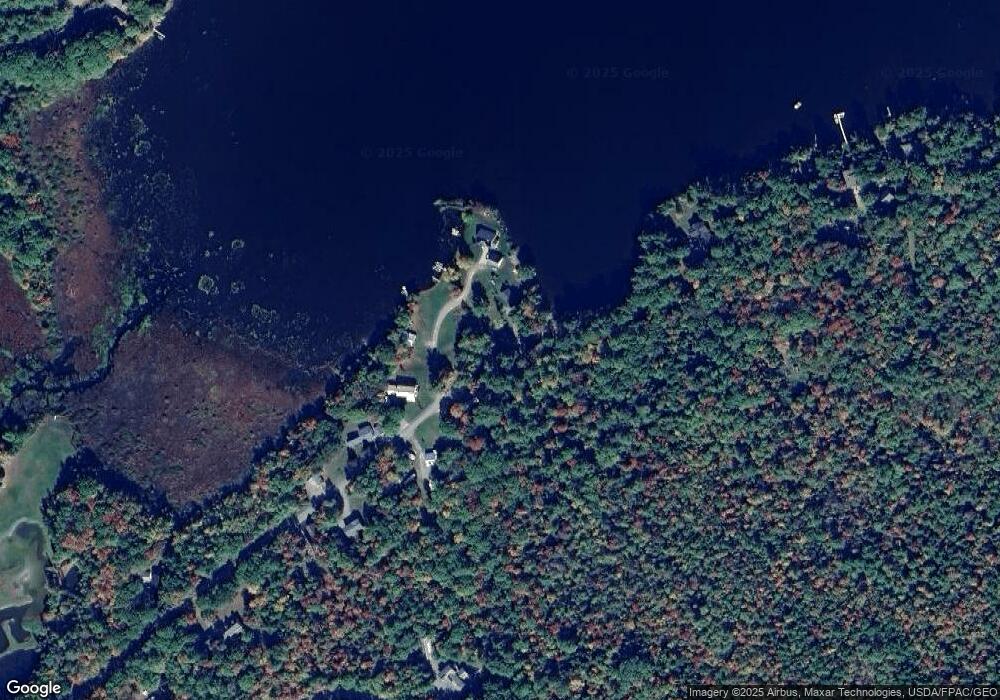
Map
Nearby Homes
- 137 Aa Landing Rd
- 1247 Pushaw Rd
- 0 Gould Rd
- 1330 Pushaw Rd
- 953 Pushaw Rd
- 10 Kelliher St
- 818 Forest Ave
- 1075 Sunset Ave
- 29 Merritt Dr
- 474 Hudson Rd
- 879 Hudson Rd
- 348 Lakeview Rd
- 365 Walden Parke Way
- 587 Woodland Ave
- 56 Lancaster Brook Rd
- 35-46 Woodland Ave
- Lot 21 Tamarack Trail
- M37-053-00 Cedar Breeze S
- 2317&2327 Broadway
- 160 Lancaster Brook Rd
- 169 & 165 Aa Landing Rd
- 161 Aa Landing Rd
- 150 Aa Landing Rd
- 154 Aa Landing Rd
- 163 Aa Landing Rd
- 165 Aa Landing Rd
- 169 Aa Landing Rd
- 131 Aa Landing Rd
- 121 Aa Landing Rd
- 56 Misty Way
- 79 Misty Way
- 73 Misty Way
- 21 Misty Way
- 90 Misty Way
- 67 Misty Way
- 68 Misty Way
- 61 Misty Way
- 85 Misty Way
- 82 Misty Way
- 94 Misty Way