169 Carriage Rd Osterville, MA 2655
Osterville NeighborhoodEstimated Value: $3,158,000 - $4,970,695
4
Beds
5
Baths
5,627
Sq Ft
$759/Sq Ft
Est. Value
About This Home
This home is located at 169 Carriage Rd, Osterville, MA 2655 and is currently estimated at $4,272,674, approximately $759 per square foot. 169 Carriage Rd is a home located in Barnstable County with nearby schools including West Villages Elementary School, Barnstable United Elementary School, and Barnstable Intermediate School.
Ownership History
Date
Name
Owned For
Owner Type
Purchase Details
Closed on
Dec 17, 2014
Sold by
Frangione Maria and Gusella James F
Bought by
Maria Frandione T
Current Estimated Value
Purchase Details
Closed on
Dec 30, 2010
Sold by
Mclellan Jean M and Mclellan Gerald D
Bought by
Frangione Maria and Gusella James F
Purchase Details
Closed on
Aug 23, 2004
Sold by
Mclellan Jean M
Bought by
Mclellan Gerald D and Mclellan Jean M
Purchase Details
Closed on
Jun 28, 1999
Sold by
Tarr Robert J
Bought by
Mclellan Jean M
Purchase Details
Closed on
Dec 24, 1998
Sold by
Mellon Paul and Black James I
Bought by
Tarr Robert J
Create a Home Valuation Report for This Property
The Home Valuation Report is an in-depth analysis detailing your home's value as well as a comparison with similar homes in the area
Home Values in the Area
Average Home Value in this Area
Purchase History
| Date | Buyer | Sale Price | Title Company |
|---|---|---|---|
| Maria Frandione T | -- | -- | |
| Frangione Maria | $1,550,000 | -- | |
| Mclellan Gerald D | -- | -- | |
| Mclellan Jean M | $437,500 | -- | |
| Tarr Robert J | $370,000 | -- |
Source: Public Records
Tax History Compared to Growth
Tax History
| Year | Tax Paid | Tax Assessment Tax Assessment Total Assessment is a certain percentage of the fair market value that is determined by local assessors to be the total taxable value of land and additions on the property. | Land | Improvement |
|---|---|---|---|---|
| 2025 | $27,279 | $3,371,900 | $1,710,500 | $1,661,400 |
| 2024 | $24,868 | $3,184,100 | $1,710,500 | $1,473,600 |
| 2023 | $21,921 | $2,628,400 | $1,346,600 | $1,281,800 |
| 2022 | $19,106 | $1,982,000 | $1,009,400 | $972,600 |
| 2021 | $19,588 | $1,867,300 | $1,039,100 | $828,200 |
| 2020 | $19,704 | $1,797,800 | $1,039,100 | $758,700 |
| 2019 | $19,281 | $1,709,300 | $950,000 | $759,300 |
| 2018 | $17,862 | $1,658,800 | $1,000,000 | $658,800 |
| 2017 | $17,504 | $1,626,800 | $1,000,000 | $626,800 |
| 2016 | $17,732 | $1,626,800 | $1,000,000 | $626,800 |
| 2015 | $17,164 | $1,581,900 | $992,000 | $589,900 |
Source: Public Records
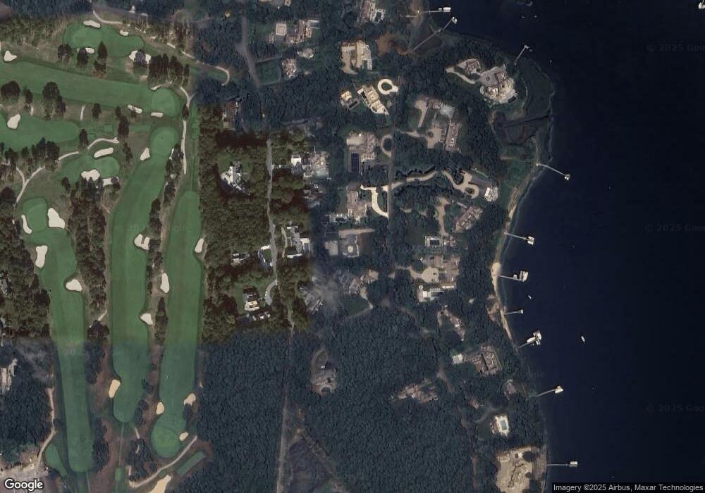
Map
Nearby Homes
- 25 Oyster Way
- Lot 289 Seapuit River B Rd
- Lot 288 Seapuit River A Rd
- 405 Bridge St
- 14 Indian Trail
- 440 Grand Island Dr
- Lot 289 Seapuit River Road B
- Lot 288 Seapuit River Rd A
- 71 Sand Point
- 255 Bayberry Way
- 168 Garrison Ln
- 835 Old Post Rd
- 850 Sea View Ave
- 564 Cotuit Bay Dr
- 564 Cotuit Bay Dr
- 414 Eel River Rd
- 135 Putnam Ave
- 501 Eel River Rd
- 426 Old Post Rd
- 916 Main St
- 155 Carriage Rd
- 201 Oyster Way
- 201 Oyster Way
- 177 Carriage Rd
- 185 Oyster Way
- 225 Oyster Way
- 30 Pheasant Path
- 150 Carriage Rd
- 61 Oyster Way
- 169 Oyster Way
- 135 Carriage Rd
- 160 Carriage Rd
- 180 Carriage Rd
- 190 Oyster Way
- 208 Oyster Way
- 37 Pheasant Path
- 213 Carriage Rd
- 222 Oyster Way
- 155 Oyster Way
- 120 Carriage Rd