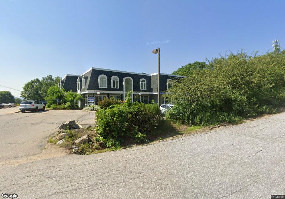
169 Daniel Webster Hwy Meredith, NH 03253
Estimated Value: $1,886,107
--
Bed
--
Bath
23,220
Sq Ft
$81/Sq Ft
Est. Value
About This Home
This home is located at 169 Daniel Webster Hwy, Meredith, NH 03253 and is currently priced at $1,886,107, approximately $81 per square foot. 169 Daniel Webster Hwy is a home located in Belknap County with nearby schools including Inter-Lakes Elementary School, Lakeland School, and Laconia Christian Academy.
Ownership History
Date
Name
Owned For
Owner Type
Purchase Details
Closed on
Oct 5, 2022
Sold by
Pleasant St 2015 T and Butler
Bought by
Allen Arthur T
Current Estimated Value
Purchase Details
Closed on
Jul 30, 2003
Sold by
Hms Realty
Bought by
Fitness Square Llc
Home Financials for this Owner
Home Financials are based on the most recent Mortgage that was taken out on this home.
Original Mortgage
$720,000
Interest Rate
5.28%
Mortgage Type
Commercial
Create a Home Valuation Report for This Property
The Home Valuation Report is an in-depth analysis detailing your home's value as well as a comparison with similar homes in the area
Home Values in the Area
Average Home Value in this Area
Purchase History
| Date | Buyer | Sale Price | Title Company |
|---|---|---|---|
| Allen Arthur T | $33,600 | None Available | |
| Allen Arthur T | $33,600 | None Available | |
| Fitness Square Llc | $900,000 | -- | |
| Fitness Square Llc | $900,000 | -- |
Source: Public Records
Mortgage History
| Date | Status | Borrower | Loan Amount |
|---|---|---|---|
| Previous Owner | Fitness Square Llc | $720,000 |
Source: Public Records
Tax History Compared to Growth
Tax History
| Year | Tax Paid | Tax Assessment Tax Assessment Total Assessment is a certain percentage of the fair market value that is determined by local assessors to be the total taxable value of land and additions on the property. | Land | Improvement |
|---|---|---|---|---|
| 2024 | $14,321 | $1,395,800 | $301,000 | $1,094,800 |
| 2023 | $13,804 | $1,395,800 | $301,000 | $1,094,800 |
| 2022 | $16,772 | $1,200,600 | $206,500 | $994,100 |
| 2021 | $16,124 | $1,200,600 | $206,500 | $994,100 |
| 2020 | $16,832 | $1,200,600 | $206,500 | $994,100 |
| 2019 | $17,989 | $1,132,100 | $201,900 | $930,200 |
| 2018 | $17,683 | $1,132,100 | $201,900 | $930,200 |
| 2016 | $16,530 | $1,060,300 | $208,400 | $851,900 |
| 2015 | $16,117 | $1,060,300 | $208,400 | $851,900 |
| 2014 | $15,724 | $1,060,300 | $208,400 | $851,900 |
| 2013 | $15,279 | $1,060,300 | $208,400 | $851,900 |
Source: Public Records
Map
Nearby Homes
- 21 Upper Ladd Hill Rd Unit D
- 21 Upper Ladd Hill Rd Unit A
- 21 Upper Ladd Hill Rd Unit E
- 21 Upper Ladd Hill Rd Unit C
- 21 Upper Ladd Hill Rd Unit B
- 83 Tracy Way
- 75 Neal Shore Rd
- 0 Parade Rd Unit 5
- 96 Brook Hill
- 8 Water St Unit 2
- 22 Clover Ridge Rd
- 78 Granite Ridge
- 64 Granite Ridge
- 17 Granite Ridge
- 12 Highland St
- 11 & 12 Highland St
- 5 Clover Ridge Rd
- 11 Highland St
- 15 Highland St
- Lot 12-3 Needle Eye Rd
- 163 Daniel Webster Hwy
- 9 Northview Dr
- 42 Upper Ladd Hill Rd
- 17 Northview Dr
- 168 Daniel Webster Hwy
- 178 Danie Webster Hwy
- 3 Parade Rd
- 5 Sunset Hill Rd
- 16 Parade Rd
- 15 Northview Dr
- 21 Upper Mile Point Dr
- 40 Upper Ladd Hill Rd
- 7 Parade Rd
- 178 Daniel Webster Hwy
- 00 Sunset Hill Rd
- 15 Parade Rd
- 0 Sunset Hill Rd Unit 4251466
- 0 Sunset Hill Rd Unit 4210274
- 0 Sunset Hill Rd Unit 4121830
- 7 Sunset Hill Rd