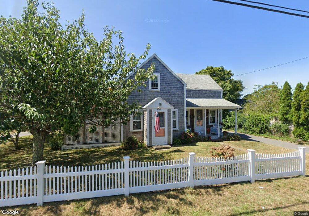
169 Depot St Dennis Port, MA 02639
Dennis Port NeighborhoodEstimated Value: $557,000 - $801,000
3
Beds
2
Baths
1,434
Sq Ft
$460/Sq Ft
Est. Value
About This Home
This home is located at 169 Depot St, Dennis Port, MA 02639 and is currently estimated at $659,807, approximately $460 per square foot. 169 Depot St is a home located in Barnstable County with nearby schools including Dennis-Yarmouth Regional High School and St. Pius X. School.
Ownership History
Date
Name
Owned For
Owner Type
Purchase Details
Closed on
Jan 30, 2023
Sold by
Winchester Linda K
Bought by
Linda K Winchester T
Current Estimated Value
Purchase Details
Closed on
May 21, 2014
Sold by
Wilbur A Kelley T
Bought by
Winchester Linda K
Purchase Details
Closed on
Feb 14, 2012
Sold by
Kelley Wilbur A Est
Bought by
Wilbur A Kelley T
Create a Home Valuation Report for This Property
The Home Valuation Report is an in-depth analysis detailing your home's value as well as a comparison with similar homes in the area
Home Values in the Area
Average Home Value in this Area
Purchase History
| Date | Buyer | Sale Price | Title Company |
|---|---|---|---|
| Linda K Winchester T | -- | None Available | |
| Winchester Linda K | -- | -- | |
| Wilbur A Kelley T | -- | -- | |
| Wilbur A Kelley T | -- | -- |
Source: Public Records
Tax History Compared to Growth
Tax History
| Year | Tax Paid | Tax Assessment Tax Assessment Total Assessment is a certain percentage of the fair market value that is determined by local assessors to be the total taxable value of land and additions on the property. | Land | Improvement |
|---|---|---|---|---|
| 2025 | $2,527 | $583,500 | $212,000 | $371,500 |
| 2024 | $2,414 | $549,900 | $203,800 | $346,100 |
| 2023 | $2,337 | $500,500 | $185,300 | $315,200 |
| 2022 | $2,243 | $400,500 | $166,900 | $233,600 |
| 2021 | $6,031 | $350,200 | $163,600 | $186,600 |
| 2020 | $5,854 | $327,300 | $151,100 | $176,200 |
| 2019 | $1,899 | $307,800 | $148,100 | $159,700 |
| 2018 | $5,799 | $305,700 | $152,700 | $153,000 |
| 2017 | $9,016 | $290,300 | $141,000 | $149,300 |
| 2016 | $1,768 | $270,800 | $146,900 | $123,900 |
| 2015 | $1,714 | $267,800 | $146,900 | $120,900 |
| 2014 | $1,541 | $242,700 | $129,200 | $113,500 |
Source: Public Records
Map
Nearby Homes
- 12 Cross St
- 159 Center St Unit 22
- 221 Upper County Rd Unit 2A
- 221 Upper County Rd Unit 2A
- 10 Candlewood Ln
- 12 Candlewood Ln Unit 2-9
- 26 Manning Rd
- 73 Division St
- 47 Telegraph Rd Unit 1
- 9 Country Ln
- 166 Upper County Rd Unit 1-4
- 141 Division St
- 141 Division St
- 148 Belmont Rd
- 40 Willow St
- 45 Route 28
- 268 Main St
- 72 Bassett Ln
- 102 Sea St
- 165 Depot St
- 173 Depot St
- 43 Mill St
- 157 Depot St
- 178 Depot St
- 39 Mill St
- 157 Depot St Unit 161
- 157 Depot St Unit 161
- 157 Depot St Unit 161
- 157 Depot St Unit 161
- 157 Depot St Unit 161
- 157 Depot St Unit 5
- 157 Depot St Unit 4
- 157 Depot St Unit 1
- 157 Depot St Unit 2
- 33 South St
- 161 Depot St Unit 1
- 161 Depot St Unit 2
- 161 Depot St
- 161 Depot St Unit 3+4