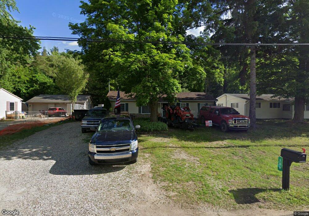
169 Eastwood Dr Battle Creek, MI 49017
Estimated Value: $120,000 - $169,000
3
Beds
1
Bath
1,568
Sq Ft
$92/Sq Ft
Est. Value
About This Home
This home is located at 169 Eastwood Dr, Battle Creek, MI 49017 and is currently estimated at $144,567, approximately $92 per square foot. 169 Eastwood Dr is a home located in Calhoun County with nearby schools including Pennfield Purdy School, Pennfield Dunlap Elementary School, and Pennfield Middle School.
Ownership History
Date
Name
Owned For
Owner Type
Purchase Details
Closed on
Dec 2, 2005
Sold by
Williams Corey and Williams Lisa
Bought by
Cousino Teresa
Current Estimated Value
Home Financials for this Owner
Home Financials are based on the most recent Mortgage that was taken out on this home.
Original Mortgage
$87,000
Outstanding Balance
$48,417
Interest Rate
6.2%
Mortgage Type
Fannie Mae Freddie Mac
Estimated Equity
$96,150
Purchase Details
Closed on
May 20, 2005
Sold by
Harris Jo Ann and Capman Michael H
Bought by
Associates Financial Svcs Co Of Mi Inc and Citifinancial Mortgage Co
Purchase Details
Closed on
Oct 1, 1993
Create a Home Valuation Report for This Property
The Home Valuation Report is an in-depth analysis detailing your home's value as well as a comparison with similar homes in the area
Home Values in the Area
Average Home Value in this Area
Purchase History
| Date | Buyer | Sale Price | Title Company |
|---|---|---|---|
| Cousino Teresa | $87,000 | Chicago Title | |
| Associates Financial Svcs Co Of Mi Inc | $49,738 | -- | |
| -- | $35,500 | -- |
Source: Public Records
Mortgage History
| Date | Status | Borrower | Loan Amount |
|---|---|---|---|
| Open | Cousino Teresa | $87,000 |
Source: Public Records
Tax History Compared to Growth
Tax History
| Year | Tax Paid | Tax Assessment Tax Assessment Total Assessment is a certain percentage of the fair market value that is determined by local assessors to be the total taxable value of land and additions on the property. | Land | Improvement |
|---|---|---|---|---|
| 2025 | $1,391 | $53,900 | $0 | $0 |
| 2024 | $620 | $47,500 | $0 | $0 |
| 2023 | $1,202 | $41,680 | $0 | $0 |
| 2022 | $563 | $35,270 | $0 | $0 |
| 2021 | $1,206 | $33,830 | $0 | $0 |
| 2020 | $1,185 | $33,150 | $0 | $0 |
| 2019 | $1,146 | $30,370 | $0 | $0 |
| 2018 | $1,033 | $29,120 | $6,840 | $22,280 |
| 2017 | $0 | $29,720 | $0 | $0 |
| 2016 | $0 | $28,810 | $0 | $0 |
| 2015 | -- | $26,780 | $3,275 | $23,505 |
| 2014 | -- | $25,000 | $3,275 | $21,725 |
Source: Public Records
Map
Nearby Homes
- 202 Viking Dr
- V/L Parkview Ave
- 6329 Purdy Dr
- 208 Glendale Ave
- 11 Coolidge Ave W
- 62 Coolidge Ave W
- 69 Coolidge Ave W
- 17 Gordon Blvd
- 341 Algonquin St
- 115 Briars Farm Ln
- 6722 Morgan Rd E
- 104 Calico Ln
- 904 Washington Ave N
- 161 Wilds Ave
- 561 Garrison Rd
- 110 Harriet Ln
- 228 Indian Rd
- 125 Sunset Blvd W
- 117 Old Lantern Trail
- 19687 East Ave N
- 163 Eastwood Dr
- 175 Eastwood Dr
- 157 Eastwood Dr
- 917 Parkview Ave
- 168 Eastwood Dr
- 151 Eastwood Dr
- 201 Eastwood Dr
- 911 Parkview Ave
- 156 Eastwood Dr
- 207 Eastwood Dr
- 916 Parkview Ave
- 145 Eastwood Dr
- 157 Viking Dr
- 149 Viking Dr
- 910 Parkview Ave
- 141 Viking Dr
- 103 Viking Dr
- 139 Eastwood Dr
- 905 Parkview Ave
- 213 Eastwood Dr