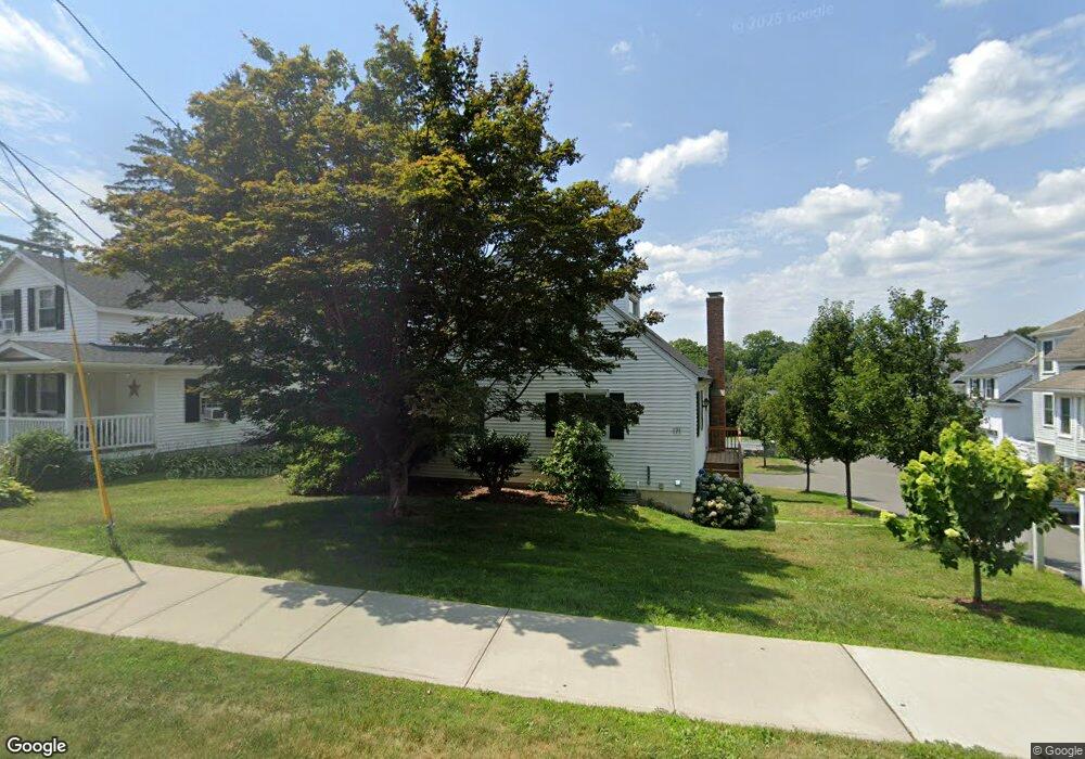
169 High Ridge Ave Ridgefield, CT 06877
Estimated Value: $1,202,000 - $1,361,309
4
Beds
4
Baths
2,402
Sq Ft
$541/Sq Ft
Est. Value
About This Home
This home is located at 169 High Ridge Ave, Ridgefield, CT 06877 and is currently estimated at $1,299,077, approximately $540 per square foot. 169 High Ridge Ave is a home with nearby schools including Veterans Park Elementary School, Ridgefield High School, and St. Mary School.
Ownership History
Date
Name
Owned For
Owner Type
Purchase Details
Closed on
May 8, 2024
Sold by
Corsetti Denise
Bought by
Denise Corsetti T and Denise Corsetti
Current Estimated Value
Purchase Details
Closed on
Apr 29, 2024
Sold by
Corsetti Denise and Farascioni David
Bought by
Corsetti Denise and Farascioni David
Purchase Details
Closed on
Nov 18, 2020
Sold by
Rjr Bulders Llc
Bought by
Corsetti Denise and Farascioni David
Home Financials for this Owner
Home Financials are based on the most recent Mortgage that was taken out on this home.
Original Mortgage
$511,000
Interest Rate
2.6%
Mortgage Type
Adjustable Rate Mortgage/ARM
Create a Home Valuation Report for This Property
The Home Valuation Report is an in-depth analysis detailing your home's value as well as a comparison with similar homes in the area
Home Values in the Area
Average Home Value in this Area
Purchase History
| Date | Buyer | Sale Price | Title Company |
|---|---|---|---|
| Denise Corsetti T | -- | None Available | |
| Denise Corsetti T | -- | None Available | |
| Corsetti Denise | -- | None Available | |
| Corsetti Denise | -- | None Available | |
| Corsetti Denise | -- | None Available | |
| Corsetti Denise | -- | None Available |
Source: Public Records
Mortgage History
| Date | Status | Borrower | Loan Amount |
|---|---|---|---|
| Previous Owner | Corsetti Denise | $511,000 |
Source: Public Records
Tax History Compared to Growth
Tax History
| Year | Tax Paid | Tax Assessment Tax Assessment Total Assessment is a certain percentage of the fair market value that is determined by local assessors to be the total taxable value of land and additions on the property. | Land | Improvement |
|---|---|---|---|---|
| 2025 | $15,413 | $562,730 | $296,380 | $266,350 |
| 2024 | $14,828 | $562,730 | $296,380 | $266,350 |
| 2023 | $14,524 | $562,730 | $296,380 | $266,350 |
| 2022 | $14,625 | $514,420 | $250,790 | $263,630 |
| 2021 | $14,213 | $503,820 | $250,790 | $253,030 |
| 2020 | $7,052 | $250,790 | $250,790 | $0 |
Source: Public Records
Map
Nearby Homes
- 27 Catoonah St
- 2 Westmoreland Rd
- 9 Cook Close
- 0 Pound St Unit 113831
- 0 Pound St
- 105 Olcott Way Unit 105
- 75 Lawson Ln
- 13 Lawson Ln Unit 13
- 8 Stebbins Close Unit 8
- 75A New St
- 75 New St
- 59 Prospect St Unit C
- 52 Lawson Ln Unit 52
- 33 N Salem Rd
- 77 Sunset Ln Unit 223
- 19 Prospect Ridge Unit 14
- 70 Branchville Rd
- 88 Main St
- 40 North St
- 0 Salem Rd S
- 175 High Ridge Ave
- 171 High Ridge Ave
- 167 High Ridge Ave
- 167 High Ridge Ave Unit B
- 165 High Ridge Ave
- 163 High Ridge Ave
- 173B High Ridge Ave
- 173 High Ridge Ave
- 162 High Ridge Ave
- 161 High Ridge Ave
- 2 Bryon Ave Unit 21
- 2 Bryon Ave
- 4 Bryon Ave Unit 21
- 49 Catoonah St
- 51 Catoonah St
- 6 Bryon Ave
- 12 Bryon Ave
- 45 Catoonah St
- 4 Gino's Way
- 3 Ginos Way