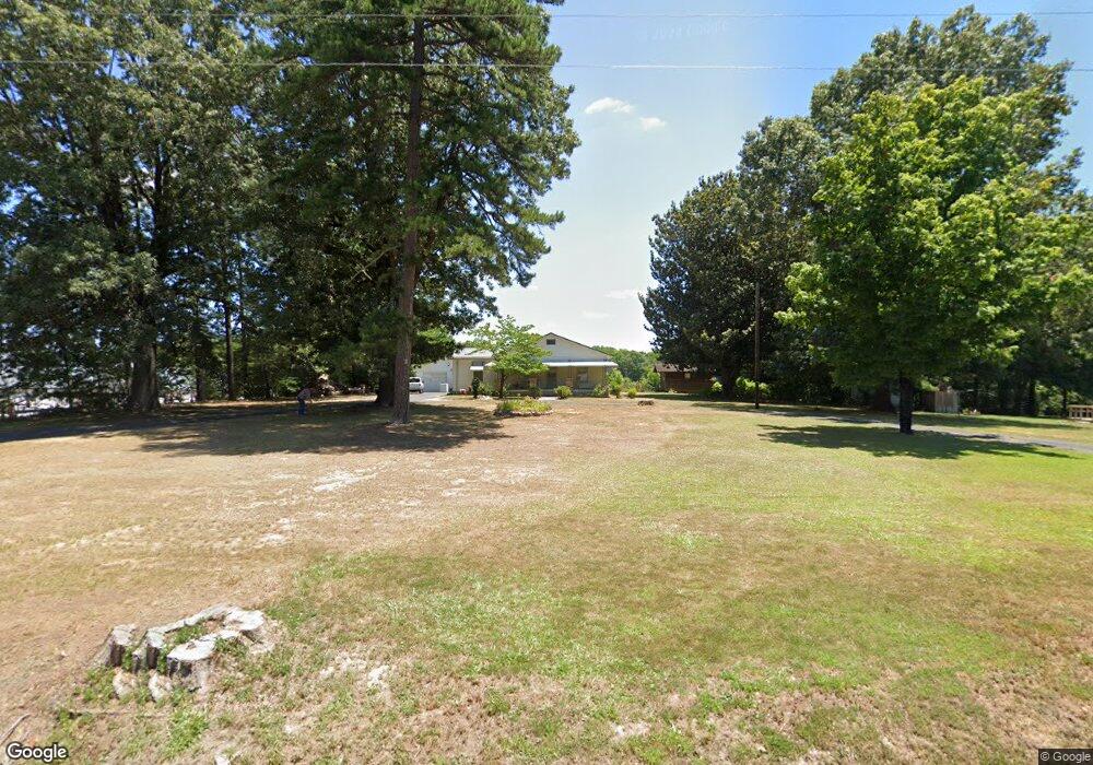
169 Lambert Dr Asheboro, NC 27205
Estimated Value: $197,260 - $244,000
--
Bed
1
Bath
1,212
Sq Ft
$179/Sq Ft
Est. Value
About This Home
This home is located at 169 Lambert Dr, Asheboro, NC 27205 and is currently estimated at $217,065, approximately $179 per square foot. 169 Lambert Dr is a home located in Randolph County with nearby schools including Guy B. Teachey Elementary School, South Asheboro Middle School, and Asheboro High School.
Ownership History
Date
Name
Owned For
Owner Type
Purchase Details
Closed on
Feb 2, 2022
Sold by
Tysinger Bobbie Jean
Bought by
Swaney Tysinger Bobbie and Swaney Eugene Tysinger
Current Estimated Value
Purchase Details
Closed on
Sep 1, 2011
Sold by
Luther Terry L and Luther Family Trust
Bought by
Tysinger Bobbie Jean
Purchase Details
Closed on
Sep 3, 2009
Sold by
Luther Howard L and Luther Frances E
Bought by
Luther Terry L and Luther Family Trust
Create a Home Valuation Report for This Property
The Home Valuation Report is an in-depth analysis detailing your home's value as well as a comparison with similar homes in the area
Home Values in the Area
Average Home Value in this Area
Purchase History
| Date | Buyer | Sale Price | Title Company |
|---|---|---|---|
| Swaney Tysinger Bobbie | -- | -- | |
| Tysinger Bobbie Jean | -- | None Available | |
| Luther Terry L | -- | None Available |
Source: Public Records
Tax History Compared to Growth
Tax History
| Year | Tax Paid | Tax Assessment Tax Assessment Total Assessment is a certain percentage of the fair market value that is determined by local assessors to be the total taxable value of land and additions on the property. | Land | Improvement |
|---|---|---|---|---|
| 2025 | $1,888 | $142,490 | $43,400 | $99,090 |
| 2024 | $1,888 | $142,490 | $43,400 | $99,090 |
| 2023 | $1,888 | $142,490 | $43,400 | $99,090 |
| 2022 | $1,340 | $92,940 | $26,600 | $66,340 |
| 2021 | $1,340 | $92,940 | $26,600 | $66,340 |
| 2020 | $1,340 | $92,940 | $26,600 | $66,340 |
| 2019 | $1,340 | $92,940 | $26,600 | $66,340 |
| 2018 | $1,131 | $77,040 | $25,160 | $51,880 |
| 2016 | $1,130 | $77,035 | $25,160 | $51,875 |
| 2015 | $1,132 | $77,035 | $25,160 | $51,875 |
| 2014 | -- | $77,035 | $25,160 | $51,875 |
Source: Public Records
Map
Nearby Homes
- 811 Sherwood Ave
- 7808 State Highway 49
- 406 Ashmont Ct
- 386 Sherwood Oaks Dr
- 01 Mack Rd
- 481 McLarkling Ln
- 2006 Lambert Dr
- 1922 Oak Dr
- 724 Sherwood Rd
- 841 Hollings Rd
- 1037 Robbins St
- 481 Nc Highway 49 S
- 272 Cheyenne Cir
- 737 Britt Ave
- 960 Lee St
- 964 Old Nc Highway 49
- 1427 S Fayetteville St
- 536 Oakgrove Rd
- 828 Windermere Ct
- 855 Lee St
- 189 Lambert Dr
- 260 Londelle Ln
- 250 Londelle Ln
- 270 Londelle Ln
- 240 Londelle Ln
- 814 Sherwood Ave
- 199 Lambert Dr
- 130 Londelle Ln
- 120 Londelle Ln
- 110 Londelle Ln
- 174 Lambert Dr
- 162 Whitley St
- 806 Sherwood Ave
- 172 Whitley St
- 190 Lambert Dr
- 182 Whitley St
- 152 Lambert Dr
- 125 Londelle Ln
- 198 Lambert Dr
- 837 Sherwood Ave