169 N 600 E Pierceton, IN 46562
Estimated Value: $485,000 - $1,736,000
4
Beds
3
Baths
2,408
Sq Ft
$455/Sq Ft
Est. Value
About This Home
This home is located at 169 N 600 E, Pierceton, IN 46562 and is currently estimated at $1,096,554, approximately $455 per square foot. 169 N 600 E is a home located in Kosciusko County with nearby schools including Whitko High School, Monarch Christian Academy, and Pierceton Woods Academy.
Ownership History
Date
Name
Owned For
Owner Type
Purchase Details
Closed on
Mar 24, 2022
Sold by
Loraine Leah Engelberth Trust
Bought by
Reiff James M and Reiff Nancy J
Current Estimated Value
Purchase Details
Closed on
Oct 30, 2020
Sold by
Engelberth Loraine L and William H Engelberth Family Tr
Bought by
Engelberth Loraine L and Loraine Leah Engelberth Trust
Purchase Details
Closed on
Dec 5, 2011
Sold by
Engelberth Loraine L
Bought by
Engelberth Loraine L
Create a Home Valuation Report for This Property
The Home Valuation Report is an in-depth analysis detailing your home's value as well as a comparison with similar homes in the area
Purchase History
| Date | Buyer | Sale Price | Title Company |
|---|---|---|---|
| Reiff James M | -- | Gieger Leslie M | |
| Engelberth Loraine L | -- | None Available | |
| Engelberth Loraine L | -- | None Available |
Source: Public Records
Tax History
| Year | Tax Paid | Tax Assessment Tax Assessment Total Assessment is a certain percentage of the fair market value that is determined by local assessors to be the total taxable value of land and additions on the property. | Land | Improvement |
|---|---|---|---|---|
| 2024 | $7,755 | $544,500 | $372,200 | $172,300 |
| 2023 | $7,098 | $481,500 | $313,500 | $168,000 |
| 2022 | $5,072 | $414,500 | $251,600 | $162,900 |
| 2021 | $4,909 | $352,200 | $219,200 | $133,000 |
| 2020 | $5,770 | $338,000 | $215,700 | $122,300 |
| 2019 | $5,944 | $375,600 | $259,000 | $116,600 |
| 2018 | $5,129 | $377,500 | $266,600 | $110,900 |
| 2017 | $5,721 | $411,600 | $303,700 | $107,900 |
| 2016 | $5,888 | $423,400 | $320,700 | $102,700 |
| 2014 | $6,268 | $438,300 | $334,500 | $103,800 |
| 2013 | $6,268 | $403,900 | $289,800 | $114,100 |
Source: Public Records
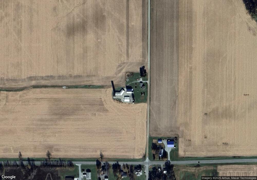
Map
Nearby Homes
- 835 N 650 E
- 124 S 450 E
- 310 N Eighth St
- 60 Ems B24 Ln
- 102 S Seventh St
- TBD E Mill St
- 9283 E 250 S
- 301 S Washington St
- 201 W Pine St
- TBD Lake Tahoe Trail
- 8013 E 250 S
- TBD Superior Ave
- 4014 E 300 N
- 3948 Gussie Ct
- 3940 Kings Pass
- TBD E Adams Rd
- 3880 Kings Pass
- 3110 Procyon Ct
- 3825 Gregory Ct
- 3835 Gregory Ct
- 6048 E Old Road 30
- 6035 E Old Road 30
- 5985 E Old Road 30 Unit 3
- 5985 E Old Road 30 Unit 1
- 5985 E Old Road 30 Unit 2
- 5985 E Old Road 30 Unit 6
- 5909 E Old Road 30
- 54 S 600 E
- 6328 E Old Road 30
- 6301 E Old Road 30
- 6432 E Old Road 30
- 5549 E Old Road 30
- 155 N 650 E
- 65 N 650 E
- 361 S 600 E
- 48 N 650 E
- 6540 E Old Road 30
- 459 N 650 E
- TBD E Old Rd 30
- 5352 E Old Road 30
Your Personal Tour Guide
Ask me questions while you tour the home.