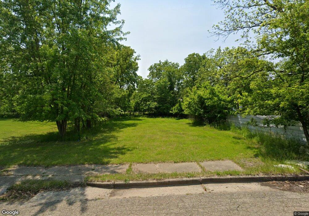
169 Parrish St Battle Creek, MI 49037
North Central NeighborhoodEstimated Value: $69,000 - $147,000
--
Bed
--
Bath
--
Sq Ft
5,750
Sq Ft Lot
About This Home
This home is located at 169 Parrish St, Battle Creek, MI 49037 and is currently estimated at $109,000. 169 Parrish St is a home located in Calhoun County with nearby schools including Ann J. Kellogg School, Springfield Middle School, and Battle Creek Central High School.
Ownership History
Date
Name
Owned For
Owner Type
Purchase Details
Closed on
Apr 6, 2017
Sold by
Calhoun County Land Bank Authority
Bought by
Holy Light Missionary Baptist Church
Current Estimated Value
Purchase Details
Closed on
Nov 18, 2015
Sold by
Calhoun County Treasurer
Bought by
Calhoun County Land Bank Authority
Purchase Details
Closed on
Nov 1, 2012
Sold by
Calhoun County Treasurer
Bought by
Warren William
Purchase Details
Closed on
Mar 12, 2002
Sold by
Cusack Robert G and Cusack Beverly J
Bought by
Bravo Anthony and Bravo Mccomb,Amber
Purchase Details
Closed on
May 1, 2001
Sold by
Cusack Robert G and Cusack Beverly J
Bought by
Pontius Gary and Pontius Wilson,Lynette
Purchase Details
Closed on
Jul 22, 1999
Bought by
Cusack
Purchase Details
Closed on
Jul 19, 1999
Bought by
Knotts and Goodwin
Purchase Details
Closed on
May 7, 1998
Sold by
Knotts Robert L
Bought by
Knotts Elizabeth A
Purchase Details
Closed on
Jun 14, 1995
Bought by
Knotts
Create a Home Valuation Report for This Property
The Home Valuation Report is an in-depth analysis detailing your home's value as well as a comparison with similar homes in the area
Home Values in the Area
Average Home Value in this Area
Purchase History
| Date | Buyer | Sale Price | Title Company |
|---|---|---|---|
| Holy Light Missionary Baptist Church | -- | None Available | |
| Calhoun County Land Bank Authority | -- | Attorney | |
| Warren William | $200 | None Available | |
| Bravo Anthony | $42,000 | -- | |
| Pontius Gary | $39,900 | -- | |
| Cusack | $28,000 | -- | |
| Knotts | -- | -- | |
| Knotts Elizabeth A | -- | -- | |
| Knotts | -- | -- |
Source: Public Records
Tax History Compared to Growth
Tax History
| Year | Tax Paid | Tax Assessment Tax Assessment Total Assessment is a certain percentage of the fair market value that is determined by local assessors to be the total taxable value of land and additions on the property. | Land | Improvement |
|---|---|---|---|---|
| 2025 | -- | $2,300 | $0 | $0 |
| 2024 | $26 | $1,745 | $0 | $0 |
| 2023 | $33 | $1,163 | $0 | $0 |
| 2022 | $23 | $814 | $0 | $0 |
| 2021 | $31 | $698 | $0 | $0 |
| 2020 | $30 | $582 | $0 | $0 |
| 2019 | $30 | $465 | $0 | $0 |
| 2018 | $30 | $465 | $465 | $0 |
| 2017 | -- | $0 | $0 | $0 |
| 2016 | -- | $0 | $0 | $0 |
| 2015 | $57 | $917 | $0 | $0 |
| 2014 | $57 | $887 | $0 | $0 |
Source: Public Records
Map
Nearby Homes
- 9 Thorne St
- 0 W Ave Unit 22040282
- 0 W Michigan 005 Ave Unit 22040281
- 0 W Michigan 010 Ave Unit 22040284
- 0 W Michigan 011 Ave Unit 22040285
- 0 W Vanburen 027 St Unit 22040287
- 0 W Vanburen 025 St Unit 22040286
- 636 Hamblin Ave W
- 562 Van Buren St W
- 0 W Vanburen 032 St Unit 22040288
- 16 Wood St S
- 35 Hubbard St
- V/L W Michigan 055 Ave
- 60 Graves Ave
- 69 Jordan St
- V/L Ave
- 253 Greenwood Ave
- 89 Somerset Ave
- 319 Hamblin Ave
- 211 Upton Ave Unit V/L
- 179 Parrish St
- 538 Hamblin Ave W
- 520 Hamblin Ave
- 537 Hamblin Ave W
- 510 Hamblin Ave W
- 527 Hamblin Ave W
- 70 Angell St
- 517 Hamblin Ave W
- 513 Hamblin Ave W
- 563 Jackson St W
- 101 Angell St
- 541 Jackson St W
- 494 Hamblin Ave
- 491 Hamblin Ave W
- 168 Lafayette Ave
- 235 Parrish St
- 156 Lafayette Ave
- 136 Lafayette Ave
- 542 Jackson St W
- 519 Jackson St W