169 Podunk Rd Sturbridge, MA 01566
Estimated Value: $559,000 - $747,000
3
Beds
3
Baths
2,772
Sq Ft
$229/Sq Ft
Est. Value
About This Home
This home is located at 169 Podunk Rd, Sturbridge, MA 01566 and is currently estimated at $633,452, approximately $228 per square foot. 169 Podunk Rd is a home located in Worcester County with nearby schools including Burgess Elementary School, Tantasqua Regional Junior High School, and Tantasqua Regional High School.
Ownership History
Date
Name
Owned For
Owner Type
Purchase Details
Closed on
May 16, 1984
Bought by
Brosnan Dennis J
Current Estimated Value
Create a Home Valuation Report for This Property
The Home Valuation Report is an in-depth analysis detailing your home's value as well as a comparison with similar homes in the area
Home Values in the Area
Average Home Value in this Area
Purchase History
| Date | Buyer | Sale Price | Title Company |
|---|---|---|---|
| Brosnan Dennis J | -- | -- |
Source: Public Records
Mortgage History
| Date | Status | Borrower | Loan Amount |
|---|---|---|---|
| Open | Brosnan Dennis J | $150,000 | |
| Closed | Brosnan Dennis J | $8,000 | |
| Closed | Brosnan Dennis J | $41,000 |
Source: Public Records
Tax History
| Year | Tax Paid | Tax Assessment Tax Assessment Total Assessment is a certain percentage of the fair market value that is determined by local assessors to be the total taxable value of land and additions on the property. | Land | Improvement |
|---|---|---|---|---|
| 2025 | $8,811 | $553,100 | $122,400 | $430,700 |
| 2024 | $8,651 | $524,600 | $119,900 | $404,700 |
| 2023 | $8,175 | $452,400 | $106,200 | $346,200 |
| 2022 | $7,899 | $412,500 | $97,500 | $315,000 |
| 2021 | $7,441 | $391,200 | $93,700 | $297,500 |
| 2020 | $7,441 | $391,200 | $93,700 | $297,500 |
| 2019 | $7,120 | $371,800 | $95,900 | $275,900 |
| 2018 | $6,839 | $351,800 | $92,100 | $259,700 |
| 2017 | $6,503 | $335,200 | $89,400 | $245,800 |
| 2016 | $6,145 | $319,900 | $87,200 | $232,700 |
| 2015 | $6,103 | $317,200 | $87,200 | $230,000 |
Source: Public Records
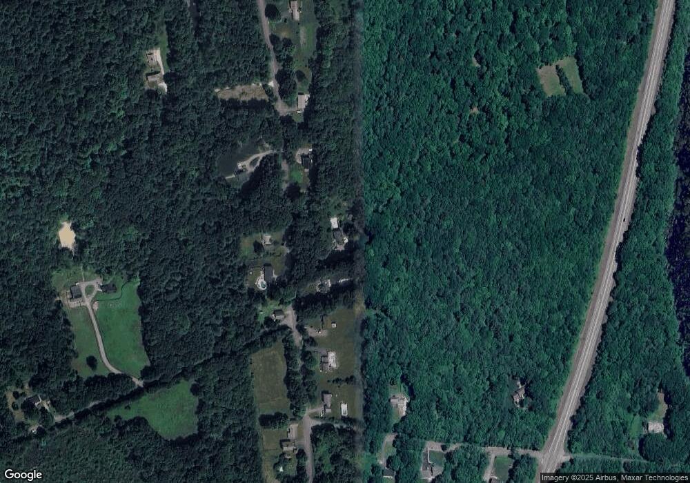
Map
Nearby Homes
- 29, 31, 33 Ladd Rd
- 35 Ladd Rd
- 49 Jennings Rd
- 7 Woodlawn Dr
- 110 Pondview Rd
- 68 - 74 Sturbridge Rd
- 6 S Sullivan Rd
- 11 Yeoman Rd
- 100 Rice Rd
- 0 Worcester Rd
- 5 Glen Echo Shore Rd
- 1 Lane 22
- 149 Berry Corner Rd
- 7 Stevens Park Rd Unit A
- 6 Gillespie Rd
- 34 Worcester Rd
- 86 Rice Corner Rd
- 1 Chase Rd
- 23 William Casey Rd
- 46 Westwood Dr
- 167 Podunk Rd
- 168 Podunk Rd
- 166 Podunk Rd
- 173 Podunk Rd
- 161 Podunk Rd
- Lot 6 Podunk Rd
- lot 6j Podunk Rd
- lot 7 Podunk Rd
- lot 1 Podunk Rd
- lot 2 Podunk Rd
- lot 5 Podunk Rd
- lot 3 Podunk Rd
- lot 8 Podunk Rd
- lot 4 Podunk Rd
- LOT #6 Podunk Rd
- 155 Podunk Rd
- 164 Podunk Rd
- 170 Podunk Rd
- 159 Podunk Rd
- 175 Podunk Rd
Your Personal Tour Guide
Ask me questions while you tour the home.