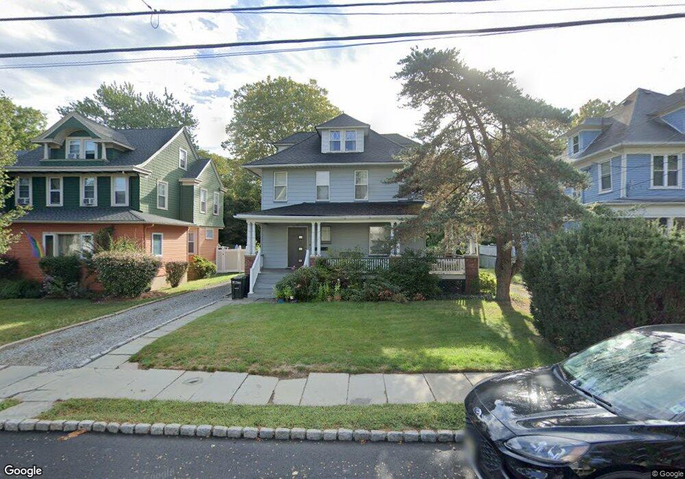
169 Thomas St Bloomfield, NJ 07003
Estimated Value: $708,000 - $928,000
Studio
--
Bath
2,316
Sq Ft
$331/Sq Ft
Est. Value
About This Home
This home is located at 169 Thomas St, Bloomfield, NJ 07003 and is currently estimated at $766,271, approximately $330 per square foot. 169 Thomas St is a home located in Essex County with nearby schools including Watsessing Elementary School, Bloomfield Middle School, and Bloomfield High School.
Ownership History
Date
Name
Owned For
Owner Type
Purchase Details
Closed on
Mar 26, 2010
Sold by
Carr Heather A and Carr William B
Bought by
Stopka Tadeusz
Current Estimated Value
Home Financials for this Owner
Home Financials are based on the most recent Mortgage that was taken out on this home.
Original Mortgage
$50,000
Interest Rate
4.25%
Mortgage Type
Stand Alone First
Purchase Details
Closed on
Dec 11, 2001
Sold by
Smith Jeffrey
Bought by
Katcher Arthur
Home Financials for this Owner
Home Financials are based on the most recent Mortgage that was taken out on this home.
Original Mortgage
$247,500
Interest Rate
7.08%
Create a Home Valuation Report for This Property
The Home Valuation Report is an in-depth analysis detailing your home's value as well as a comparison with similar homes in the area
Home Values in the Area
Average Home Value in this Area
Purchase History
| Date | Buyer | Sale Price | Title Company |
|---|---|---|---|
| Stopka Tadeusz | $367,500 | None Available | |
| Katcher Arthur | $275,000 | -- |
Source: Public Records
Mortgage History
| Date | Status | Borrower | Loan Amount |
|---|---|---|---|
| Closed | Stopka Tadeusz | $50,000 | |
| Previous Owner | Katcher Arthur | $247,500 |
Source: Public Records
Tax History
| Year | Tax Paid | Tax Assessment Tax Assessment Total Assessment is a certain percentage of the fair market value that is determined by local assessors to be the total taxable value of land and additions on the property. | Land | Improvement |
|---|---|---|---|---|
| 2025 | $14,776 | $435,600 | $149,800 | $285,800 |
| 2024 | $14,235 | $435,600 | $149,800 | $285,800 |
| 2022 | $13,948 | $435,600 | $149,800 | $285,800 |
| 2021 | $13,691 | $435,600 | $149,800 | $285,800 |
| 2020 | $13,482 | $435,600 | $149,800 | $285,800 |
| 2019 | $11,449 | $287,600 | $111,600 | $176,000 |
| 2018 | $11,400 | $287,600 | $111,600 | $176,000 |
| 2017 | $11,228 | $287,600 | $111,600 | $176,000 |
| 2016 | $11,101 | $287,600 | $111,600 | $176,000 |
| 2015 | $11,001 | $287,600 | $111,600 | $176,000 |
| 2014 | $10,799 | $287,600 | $111,600 | $176,000 |
Source: Public Records
Map
Nearby Homes
- 660 Bloomfield Ave Unit 402
- 660 Bloomfield Ave Unit 403
- 214 Ashland Ave
- 0 Broad St
- 54 Thomas St
- 545 Bloomfield Ave
- 198 Glenwood Ave
- 45 Park Ave Unit 5
- 85 Park Ave Unit 205
- 158 Glenwood Ave
- 29 Edgewood Rd
- 27 Oakland Ave
- 55 Park Ave Unit 33
- 193 Hillside Ave
- 15 Lincoln St
- 105 Midland Ave
- 14-16 Crown St
- 14 Crown St Unit 16
- 115 Spruce St
- 35 Hickory St
Your Personal Tour Guide
Ask me questions while you tour the home.