169 Willie Fletcher Rd Beechgrove, TN 37018
Estimated Value: $134,107 - $255,000
--
Bed
--
Bath
1,302
Sq Ft
$133/Sq Ft
Est. Value
About This Home
This home is located at 169 Willie Fletcher Rd, Beechgrove, TN 37018 and is currently estimated at $172,777, approximately $132 per square foot. 169 Willie Fletcher Rd is a home with nearby schools including North Coffee Elementary School, Coffee County Middle School, and Coffee County Central High School.
Ownership History
Date
Name
Owned For
Owner Type
Purchase Details
Closed on
May 30, 2025
Sold by
Fletcher Lannie Ronald and Fletcher Elijah Hunter
Bought by
Bush Annie Fletcher and Bush Colton
Current Estimated Value
Purchase Details
Closed on
May 29, 2024
Sold by
Fletcher Amanda Kay
Bought by
Fletcher Lannie Ronald
Purchase Details
Closed on
Apr 15, 2021
Sold by
Fletcher Lannie Ronald
Bought by
Fletcher Lannie Ronald and Fletcher Amanda K
Purchase Details
Closed on
May 10, 2010
Create a Home Valuation Report for This Property
The Home Valuation Report is an in-depth analysis detailing your home's value as well as a comparison with similar homes in the area
Home Values in the Area
Average Home Value in this Area
Purchase History
| Date | Buyer | Sale Price | Title Company |
|---|---|---|---|
| Bush Annie Fletcher | -- | None Listed On Document | |
| Bush Annie Fletcher | -- | None Listed On Document | |
| Fletcher Lannie Ronald | -- | None Listed On Document | |
| Fletcher Lannie Ronald | -- | Bell & Alexander Ttl Svcs In | |
| -- | $40,000 | -- |
Source: Public Records
Tax History Compared to Growth
Tax History
| Year | Tax Paid | Tax Assessment Tax Assessment Total Assessment is a certain percentage of the fair market value that is determined by local assessors to be the total taxable value of land and additions on the property. | Land | Improvement |
|---|---|---|---|---|
| 2024 | $448 | $19,225 | $3,100 | $16,125 |
| 2023 | $448 | $19,225 | $0 | $0 |
| 2022 | $448 | $19,225 | $3,100 | $16,125 |
| 2021 | $387 | $13,200 | $2,000 | $11,200 |
| 2020 | $387 | $13,200 | $2,000 | $11,200 |
| 2019 | $387 | $13,200 | $2,000 | $11,200 |
| 2018 | $387 | $13,200 | $2,000 | $11,200 |
| 2017 | $377 | $11,550 | $2,625 | $8,925 |
| 2016 | $377 | $11,550 | $2,625 | $8,925 |
| 2015 | $377 | $11,550 | $2,625 | $8,925 |
| 2014 | $376 | $11,538 | $0 | $0 |
Source: Public Records
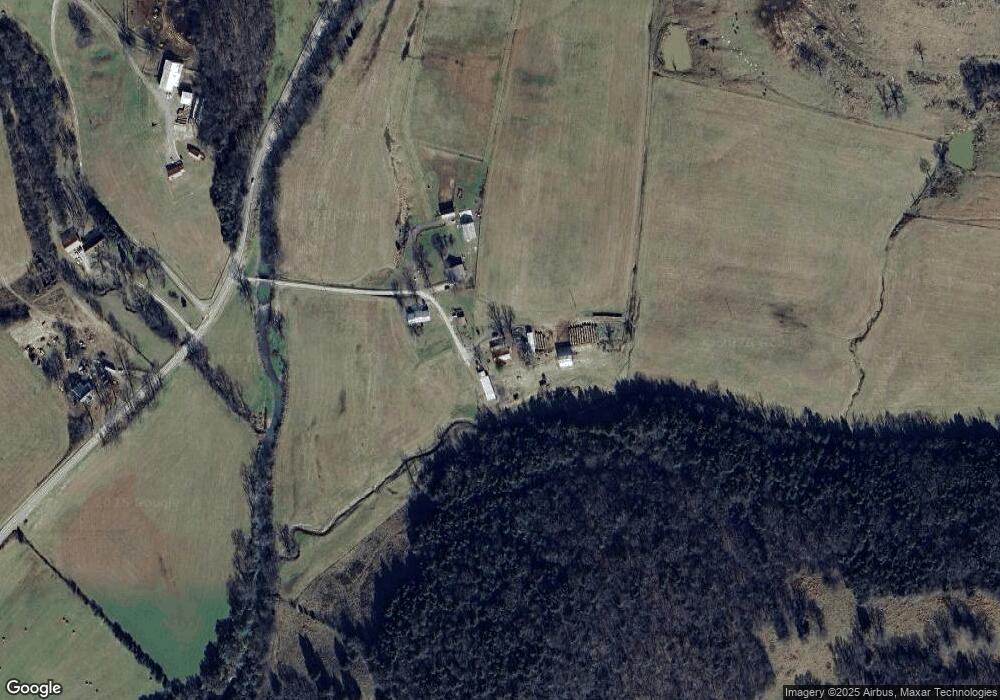
Map
Nearby Homes
- 0 Gossburg Rd Unit RTC3007203
- 0 Gossburg Rd Unit RTC2516931
- 0 Gossburg Rd Unit RTC2516930
- 0 Gossburg Rd Unit RTC2516922
- 4C Old U S 41
- 4B Old U S 41
- 4A Old U S 41
- 826 Norton Branch Rd
- 15717 Manchester Pike
- 0 Earl Warren Rd
- 5 Earl Warren Rd
- 139 Bruce Meadows Dr
- 116 Dandelion Ln
- 126 Tom Walker Dr
- 750 Walker Rd
- 6988 Tennessee 64
- 1959 French Brantley Rd
- 0 Opossum Paw Rd
- 264 Puncheon Camp Rd
- 0 Paul Harrell Rd
- 114 Willie Fletcher Rd
- 123 Willie Fletcher Rd
- 413 Gossburg Rd
- 479 Gossburg Rd
- 741 Gossburg Rd
- 785 Gossburg Rd
- 805 Gossburg Rd
- 7 Tennessee 64
- 0 Tennessee 64
- 183 Gossburg
- 339 Simtal Ln
- 11 Gossburg Rd
- 14006 Murfreesboro Hwy
- 9 Gossburg Rd
- 9 Tennessee 64
- 7 Gossburg Rd
- 14030 Murfreesboro Hwy
- 5 Gossburg Rd
- 5 Tennessee 64
- 10 Gossburg Rd