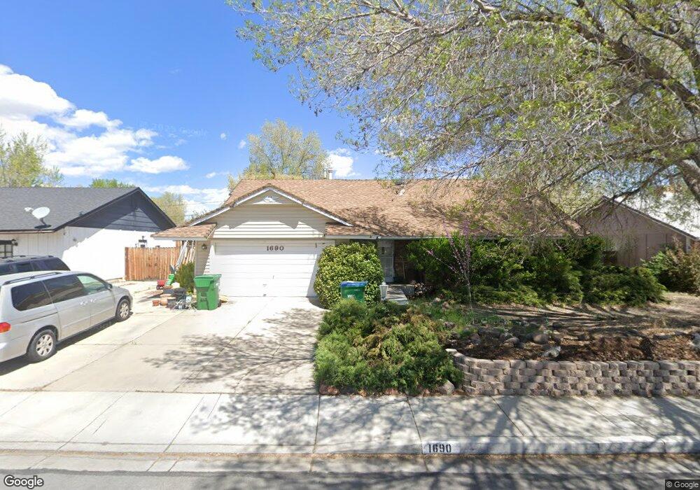
1690 Plymouth Way Sparks, NV 89431
North Rock NeighborhoodEstimated Value: $475,049 - $518,000
4
Beds
3
Baths
2,028
Sq Ft
$244/Sq Ft
Est. Value
About This Home
This home is located at 1690 Plymouth Way, Sparks, NV 89431 and is currently estimated at $494,012, approximately $243 per square foot. 1690 Plymouth Way is a home located in Washoe County with nearby schools including Alice Maxwell Elementary School, Sparks Middle School, and Sparks High School.
Ownership History
Date
Name
Owned For
Owner Type
Purchase Details
Closed on
May 12, 2004
Sold by
Ainsworth Thomas C and Ainsworth Evelyn B
Bought by
Starr Ronald E and Starr Paliwan
Current Estimated Value
Home Financials for this Owner
Home Financials are based on the most recent Mortgage that was taken out on this home.
Original Mortgage
$192,300
Outstanding Balance
$82,948
Interest Rate
4.37%
Mortgage Type
Unknown
Estimated Equity
$411,064
Purchase Details
Closed on
Nov 2, 1998
Sold by
Ainsworth Thomas C and Ainsworth Evelyn B
Bought by
Ainsworth Thomas C and Ainsworth Evelyn B
Create a Home Valuation Report for This Property
The Home Valuation Report is an in-depth analysis detailing your home's value as well as a comparison with similar homes in the area
Home Values in the Area
Average Home Value in this Area
Purchase History
| Date | Buyer | Sale Price | Title Company |
|---|---|---|---|
| Starr Ronald E | $240,500 | First American Title | |
| Ainsworth Thomas C | -- | -- |
Source: Public Records
Mortgage History
| Date | Status | Borrower | Loan Amount |
|---|---|---|---|
| Open | Starr Ronald E | $192,300 |
Source: Public Records
Tax History Compared to Growth
Tax History
| Year | Tax Paid | Tax Assessment Tax Assessment Total Assessment is a certain percentage of the fair market value that is determined by local assessors to be the total taxable value of land and additions on the property. | Land | Improvement |
|---|---|---|---|---|
| 2025 | $1,115 | $62,826 | $34,825 | $28,001 |
| 2024 | $1,083 | $57,793 | $30,205 | $27,588 |
| 2023 | $1,083 | $57,334 | $31,780 | $25,554 |
| 2022 | $1,053 | $47,940 | $27,160 | $20,780 |
| 2021 | $1,023 | $38,495 | $18,235 | $20,260 |
| 2020 | $991 | $37,729 | $17,850 | $19,879 |
| 2019 | $963 | $36,428 | $17,605 | $18,823 |
| 2018 | $936 | $30,436 | $12,355 | $18,081 |
| 2017 | $908 | $28,992 | $11,235 | $17,757 |
| 2016 | $885 | $27,524 | $9,765 | $17,759 |
| 2015 | $885 | $26,242 | $8,645 | $17,597 |
| 2014 | $859 | $23,938 | $6,335 | $17,603 |
| 2013 | -- | $22,889 | $4,900 | $17,989 |
Source: Public Records
Map
Nearby Homes
- 1731 Gault Way Unit D
- 1620 Gault Way
- 1595 York Way
- 0 N Mccarran Blvd Unit 250052909
- 1345 Plymouth Way
- 2154 Oppio St
- 1799 Vance Way
- 1655 Byrd Dr
- 1160 York Way
- 1125 Dodson Way
- 1110 Xman Way
- 3269 Valley Forge Way
- 1780 Greenbrae Dr
- 1124 Sbragia Way
- 3116 Sterling Ridge Cir
- 3516 Brassie Dr
- 3230 Creekside Ln Unit 1
- 5530 High Rock Way
- 1365 Prospect Ave
- 1121 Greenbrae Dr
- 1710 Plymouth Way
- 1680 Plymouth Way
- 1703 Sue Way
- 1701 Sue Way
- 1695 Sue Way
- 1715 Sue Way
- 1693 Sue Way
- 1720 Plymouth Way
- 1670 Plymouth Way
- 1723 Sue Way Unit B
- 1695 Plymouth Way Unit 7A
- 1681 Sue Way Unit D
- 1725 Sue Way
- 1705 Plymouth Way
- 1685 Plymouth Way
- 1683 Sue Way Unit C
- 1741 Sue Way Unit D
- 1675 Sue Way Unit 8
- 1725 Plymouth Way
- 1660 Plymouth Way