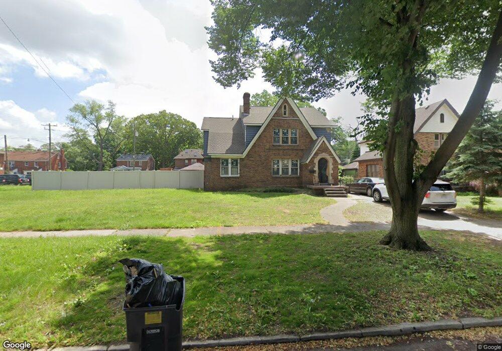
16904 Normandy St Detroit, MI 48221
Martin Park NeighborhoodEstimated Value: $217,194 - $279,000
4
Beds
4
Baths
1,595
Sq Ft
$152/Sq Ft
Est. Value
About This Home
This home is located at 16904 Normandy St, Detroit, MI 48221 and is currently estimated at $242,549, approximately $152 per square foot. 16904 Normandy St is a home located in Wayne County with nearby schools including Paul Robeson Malcolm X Academy, Charles L. Spain Elementary-Middle School, and Edward 'Duke' Ellington Conservatory of Music and Art.
Ownership History
Date
Name
Owned For
Owner Type
Purchase Details
Closed on
Sep 30, 2011
Sold by
Federal National Mortgage Association
Bought by
Waters Thomas Sonya
Current Estimated Value
Purchase Details
Closed on
Nov 24, 2010
Sold by
Financial Freedom Acquistion Llc
Bought by
Federal National Mortgage Association
Purchase Details
Closed on
Nov 18, 2010
Sold by
Williams Carl
Bought by
Financial Freedom Acquisition Llc
Create a Home Valuation Report for This Property
The Home Valuation Report is an in-depth analysis detailing your home's value as well as a comparison with similar homes in the area
Home Values in the Area
Average Home Value in this Area
Purchase History
| Date | Buyer | Sale Price | Title Company |
|---|---|---|---|
| Waters Thomas Sonya | $6,000 | Federal Natl Title Group Inc | |
| Federal National Mortgage Association | -- | None Available | |
| Financial Freedom Acquisition Llc | $10,800 | None Available |
Source: Public Records
Tax History Compared to Growth
Tax History
| Year | Tax Paid | Tax Assessment Tax Assessment Total Assessment is a certain percentage of the fair market value that is determined by local assessors to be the total taxable value of land and additions on the property. | Land | Improvement |
|---|---|---|---|---|
| 2025 | $1,129 | $62,400 | $0 | $0 |
| 2024 | $1,129 | $51,600 | $0 | $0 |
| 2023 | $1,095 | $40,700 | $0 | $0 |
| 2022 | $1,165 | $33,600 | $0 | $0 |
| 2021 | $1,134 | $25,900 | $0 | $0 |
| 2020 | $1,134 | $22,300 | $0 | $0 |
| 2019 | $1,117 | $16,200 | $0 | $0 |
| 2018 | $985 | $13,000 | $0 | $0 |
| 2017 | $180 | $13,100 | $0 | $0 |
| 2016 | $1,076 | $27,300 | $0 | $0 |
| 2015 | $1,110 | $11,100 | $0 | $0 |
| 2013 | $3,797 | $37,972 | $0 | $0 |
| 2010 | -- | $52,703 | $2,075 | $50,628 |
Source: Public Records
Map
Nearby Homes
- 2557 W McNichols Rd Unit 210
- 2445 W McNichols Rd
- 16864 Linwood St
- 16641 La Salle Ave
- 16810 Baylis St
- 16831 Lawton St
- 16801 Log Cabin St
- 16821 Log Cabin St
- 16651 Lawton St
- 16815 Log Cabin St
- 16809 Log Cabin St
- 16631 Lawton St
- 16940 Log Cabin St
- 16514 La Salle Ave
- 17166 Parkside St
- 16520 Baylis St
- 17116 Wildemere St
- 125 North St
- 17204 Wildemere St
- 17352 Parkside St
- 16894 Normandy St
- 16910 Normandy St
- 16884 Normandy St
- 16905 La Salle Ave
- 16915 La Salle Ave
- 16915 La Salle Ave
- 16895 La Salle Ave
- 16874 Normandy St
- 16925 La Salle Ave
- 16885 La Salle Ave
- 16915 Normandy St
- 2521 W McNichols Rd
- 2521 W McNichols Rd Unit 204
- 2521 W McNichols Rd Unit 206
- 2521 W McNichols Rd Unit 102
- 16895 Normandy St
- 16925 Normandy St
- 16864 Normandy St
- 16875 La Salle Ave
- 16881 Normandy St