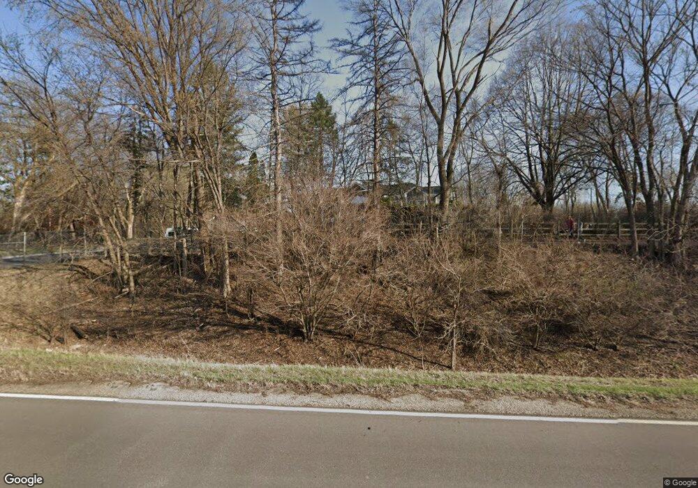
16913 State Highway #7 Minnetonka, MN 55345
Spring Hill Park NeighborhoodEstimated Value: $585,430
3
Beds
3
Baths
2,502
Sq Ft
$234/Sq Ft
Est. Value
About This Home
This home is located at 16913 State Highway #7, Minnetonka, MN 55345 and is currently priced at $585,430, approximately $233 per square foot. 16913 State Highway #7 is a home located in Hennepin County with nearby schools including Clear Springs Elementary School, Minnetonka West Middle School, and Minnetonka Senior High School.
Ownership History
Date
Name
Owned For
Owner Type
Purchase Details
Closed on
Jan 27, 2021
Sold by
Newcomb Michael
Bought by
Lmcc Moving East Llc
Current Estimated Value
Purchase Details
Closed on
Apr 7, 2017
Sold by
Carlson Neil and Carlson Susan
Bought by
Newcomb Michael
Home Financials for this Owner
Home Financials are based on the most recent Mortgage that was taken out on this home.
Original Mortgage
$200,000
Interest Rate
4.1%
Mortgage Type
Purchase Money Mortgage
Create a Home Valuation Report for This Property
The Home Valuation Report is an in-depth analysis detailing your home's value as well as a comparison with similar homes in the area
Home Values in the Area
Average Home Value in this Area
Purchase History
| Date | Buyer | Sale Price | Title Company |
|---|---|---|---|
| Lmcc Moving East Llc | $500,000 | Titlemark Llc | |
| Newcomb Michael | $265,000 | Home Title Inc | |
| -- | $500,000 | -- |
Source: Public Records
Mortgage History
| Date | Status | Borrower | Loan Amount |
|---|---|---|---|
| Previous Owner | Newcomb Michael | $200,000 |
Source: Public Records
Tax History Compared to Growth
Tax History
| Year | Tax Paid | Tax Assessment Tax Assessment Total Assessment is a certain percentage of the fair market value that is determined by local assessors to be the total taxable value of land and additions on the property. | Land | Improvement |
|---|---|---|---|---|
| 2024 | $64,701 | $4,100,000 | $420,000 | $3,680,000 |
| 2023 | $31,296 | $2,100,000 | $441,000 | $1,659,000 |
| 2022 | $3,909 | $481,000 | $441,000 | $40,000 |
| 2021 | $4,113 | $283,500 | $212,400 | $71,100 |
| 2020 | $4,296 | $299,100 | $212,400 | $86,700 |
| 2019 | $4,193 | $299,200 | $212,400 | $86,800 |
| 2018 | $3,665 | $290,700 | $212,400 | $78,300 |
| 2017 | $4,299 | $264,500 | $214,200 | $50,300 |
| 2016 | $3,954 | $253,000 | $204,200 | $48,800 |
| 2015 | $3,459 | $246,500 | $190,000 | $56,500 |
| 2014 | -- | $225,800 | $190,000 | $35,800 |
Source: Public Records
Map
Nearby Homes
- 17101 Highway 7
- 4906 Bayswater Rd
- 5026 Clear Spring Dr
- 16600 Canterbury Dr
- 4757 Spring Cir
- 17034 Clear Spring Terrace
- 4553 Aspenwood Trail
- 5130 Clear Spring Rd
- 17238 Millwood Rd
- 16848 Patricia Ln
- 4829 Lamplighters Ln
- 4321 Lancelot Dr
- 5317 Forest Rd
- 16816 Excelsior Blvd
- 18213 Hermitage Way
- 16515 Hilltop Terrace
- 5034 Sparrow Rd
- 15904 Dawn Dr
- 18408 Timber Ridge Dr
- 16510 Lake Street Extension
- 16913 Highway 7
- 4914 Clear Spring Rd
- 17100 Sandy Ln
- xxxxx State Highway #7
- 16901 Highway 7
- 16901 Highway 7
- 17104 Sandy Ln
- 17108 Sandy Ln
- 16xxx State Highway #7
- 17101 Sandy Ln
- 17112 Sandy Ln
- 17105 Sandy Ln
- 4900 Clear Spring Rd
- 17109 Sandy Ln
- 4926 Clear Spring Rd
- 17113 Sandy Ln
- 4911 Carlysle Place
- 4909 Carlysle Place
- 4905 Carlysle Place
- 4913 Carlysle Place
