16915 206th St Davenport, IA 52806
Outer Davenport/Bettendorf NeighborhoodEstimated Value: $265,000 - $319,000
4
Beds
2
Baths
1,670
Sq Ft
$176/Sq Ft
Est. Value
About This Home
This home is located at 16915 206th St, Davenport, IA 52806 and is currently estimated at $294,017, approximately $176 per square foot. 16915 206th St is a home located in Scott County with nearby schools including Alan Shepard Elementary School, North Scott Junior High School, and North Scott Senior High School.
Ownership History
Date
Name
Owned For
Owner Type
Purchase Details
Closed on
May 21, 2007
Sold by
Mcclung Investment Co
Bought by
Kaasa Megan M
Current Estimated Value
Home Financials for this Owner
Home Financials are based on the most recent Mortgage that was taken out on this home.
Original Mortgage
$105,000
Outstanding Balance
$64,008
Interest Rate
6.21%
Mortgage Type
New Conventional
Estimated Equity
$230,009
Purchase Details
Closed on
Nov 14, 2006
Sold by
Anderson Vivian D
Bought by
Mcclung Investment Co
Home Financials for this Owner
Home Financials are based on the most recent Mortgage that was taken out on this home.
Original Mortgage
$120,196
Interest Rate
6.41%
Mortgage Type
Future Advance Clause Open End Mortgage
Create a Home Valuation Report for This Property
The Home Valuation Report is an in-depth analysis detailing your home's value as well as a comparison with similar homes in the area
Home Values in the Area
Average Home Value in this Area
Purchase History
| Date | Buyer | Sale Price | Title Company |
|---|---|---|---|
| Kaasa Megan M | -- | None Available | |
| Mcclung Investment Co | $119,000 | None Available |
Source: Public Records
Mortgage History
| Date | Status | Borrower | Loan Amount |
|---|---|---|---|
| Open | Kaasa Megan M | $105,000 | |
| Previous Owner | Mcclung Investment Co | $120,196 |
Source: Public Records
Tax History Compared to Growth
Tax History
| Year | Tax Paid | Tax Assessment Tax Assessment Total Assessment is a certain percentage of the fair market value that is determined by local assessors to be the total taxable value of land and additions on the property. | Land | Improvement |
|---|---|---|---|---|
| 2025 | $2,896 | $291,500 | $76,000 | $215,500 |
| 2024 | $2,842 | $284,600 | $76,000 | $208,600 |
| 2023 | $2,044 | $284,600 | $76,000 | $208,600 |
| 2022 | $2,058 | $178,170 | $31,850 | $146,320 |
| 2021 | $2,058 | $180,830 | $31,850 | $148,980 |
| 2020 | $2,006 | $167,730 | $31,850 | $135,880 |
| 2019 | $2,100 | $167,730 | $31,850 | $135,880 |
| 2018 | $2,158 | $167,730 | $31,850 | $135,880 |
| 2017 | $1,958 | $167,730 | $31,850 | $135,880 |
| 2016 | $1,912 | $148,650 | $0 | $0 |
| 2015 | $1,912 | $148,650 | $0 | $0 |
| 2014 | $1,946 | $148,650 | $0 | $0 |
| 2013 | $1,918 | $0 | $0 | $0 |
| 2012 | -- | $148,860 | $31,850 | $117,010 |
Source: Public Records
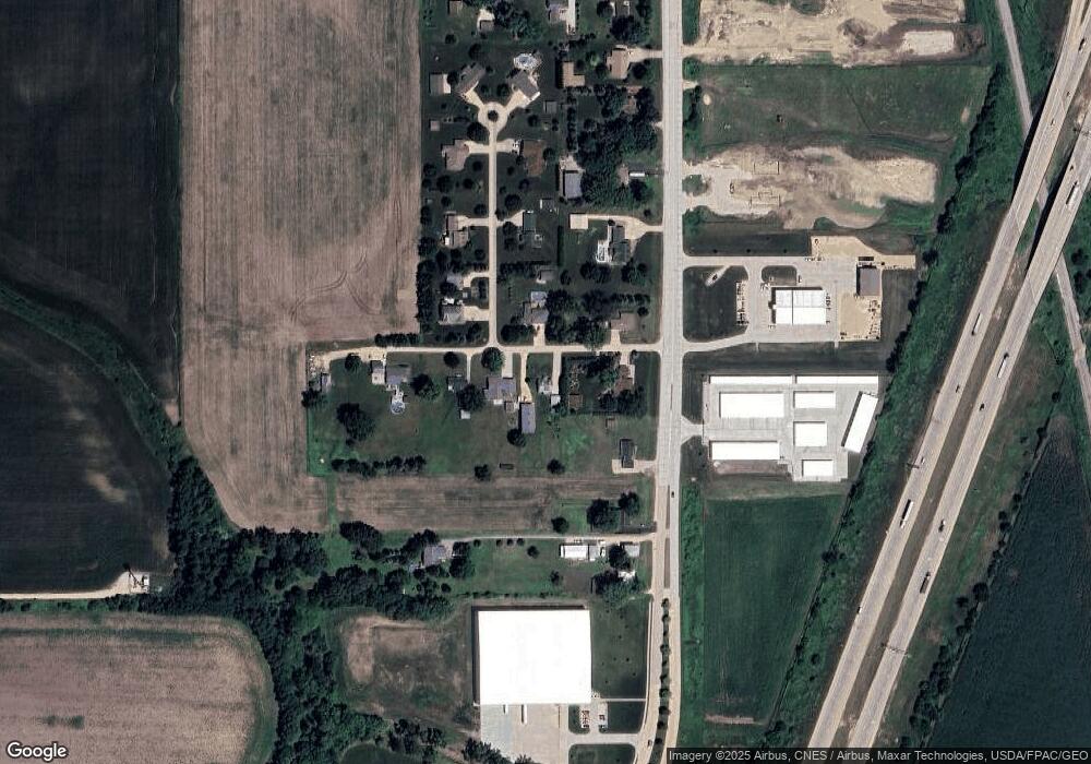
Map
Nearby Homes
- 1010 Olde Brandy Ln
- 1070 Olde Brandy Ln
- Lot 56 Franklin Ave
- LOT 54 Franklin Ave
- 6310 Deere Creek Ln
- 6308 Appomattox Rd
- SEQ - Division W 76th St
- 665 W 64th St
- 6224 Deere Creek Ln
- 6109 N Brady St
- 3215 S 16th Ave Unit 201
- 6215 Deere Creek Ln
- 6524 Lillie Ave
- Lot 26 Benjamin Ct
- SWQ - Division W 76th St
- 1564 Olde Brandy Ln
- 6211 Deere Creek Ln
- Division St N & W 76th St
- 6127 Fair Ave
- 6330 Deere Creek Ln
- 16901 206th St
- 20588 N Brady St
- 16902 206th St
- 16875 206th St
- 20638 N Brady St
- 20566 N Brady St
- 16888 206th St
- 16841 206th St
- 20542 N Brady St
- 20664 N Brady St
- 20603 169th Ave
- 20530 N Brady St
- 20704 169th Ave
- 20534 N Brady St
- 20710 N Brady St
- 20703 169th Ave
- 20706 169th Ave
- 20730 N Brady St
- 20711 169th Ave
- 110 Research Pkwy