16917 515th St Pine Island, MN 55963
Estimated Value: $367,000 - $532,000
3
Beds
2
Baths
2,090
Sq Ft
$226/Sq Ft
Est. Value
About This Home
This home is located at 16917 515th St, Pine Island, MN 55963 and is currently estimated at $472,832, approximately $226 per square foot. 16917 515th St is a home located in Goodhue County with nearby schools including Pine Island Elementary School and Pine Island Secondary School.
Ownership History
Date
Name
Owned For
Owner Type
Purchase Details
Closed on
Jun 24, 2015
Sold by
Behrens Tammie J and Behrens Tammie Jo
Bought by
Duncan William K and Duncan Marlys C
Current Estimated Value
Home Financials for this Owner
Home Financials are based on the most recent Mortgage that was taken out on this home.
Original Mortgage
$294,900
Outstanding Balance
$230,427
Interest Rate
4%
Estimated Equity
$242,405
Create a Home Valuation Report for This Property
The Home Valuation Report is an in-depth analysis detailing your home's value as well as a comparison with similar homes in the area
Home Values in the Area
Average Home Value in this Area
Purchase History
| Date | Buyer | Sale Price | Title Company |
|---|---|---|---|
| Duncan William K | -- | Rochester Title | |
| Duncan William William | $294,900 | -- |
Source: Public Records
Mortgage History
| Date | Status | Borrower | Loan Amount |
|---|---|---|---|
| Open | Duncan William William | $294,900 |
Source: Public Records
Tax History Compared to Growth
Tax History
| Year | Tax Paid | Tax Assessment Tax Assessment Total Assessment is a certain percentage of the fair market value that is determined by local assessors to be the total taxable value of land and additions on the property. | Land | Improvement |
|---|---|---|---|---|
| 2025 | -- | $457,900 | $121,800 | $336,100 |
| 2024 | -- | $454,200 | $121,800 | $332,400 |
| 2023 | $4,132 | $423,300 | $118,800 | $304,500 |
| 2022 | $3,778 | $418,600 | $115,600 | $303,000 |
| 2021 | $3,478 | $337,500 | $114,000 | $223,500 |
| 2020 | $3,170 | $337,500 | $114,000 | $223,500 |
| 2019 | $3,524 | $302,000 | $112,800 | $189,200 |
| 2018 | $3,014 | $325,600 | $111,700 | $213,900 |
| 2017 | $2,786 | $282,100 | $101,700 | $180,400 |
| 2016 | $2,708 | $260,400 | $100,600 | $159,800 |
| 2015 | $2,756 | $243,000 | $100,600 | $142,400 |
| 2014 | -- | $250,900 | $100,600 | $150,300 |
Source: Public Records
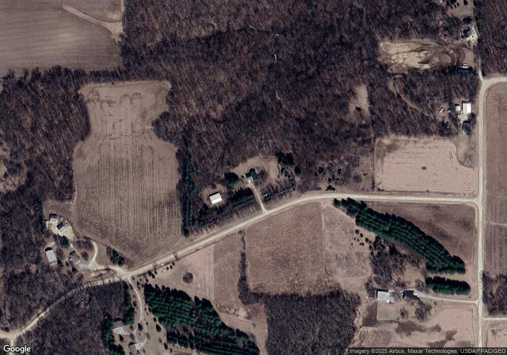
Map
Nearby Homes
- 933 Windermere Dr SW
- 701 Cherrywood Dr SW
- 918 SW 8th St
- 912 SW 8th St
- 838 Alexis Ct SW
- 834 Alexis Ct SW
- 830 Alexis Ct SW
- 826 Alexis Ct SW
- 822 Alexis Ct SW
- 833 Alexis Ct SW
- 829 Alexis Ct SW
- 825 Alexis Ct SW
- 821 Alexis Ct SW
- 835 Alexis Ct SW
- 832 Lorrain Ct SW
- 820 Lorrain Ct SW
- 824 Lorrain Ct SW
- 834 Lorrain Ct SW
- 828 Lorrain Ct SW
- 710 10th St SW
- 16757 515th St
- 17089 511th St
- 17259 511th St
- 16632 515th St
- 16614 515th St
- 16484 515th St
- 16490 515th St
- 17115 511th St
- 51500 171st Ave
- 17188 511th St
- 50800 165th Ave
- 50800 165th Ave
- 50975 165th Ave
- 51796 171st Ave
- 51670 171st Ave
- 270th 165th Ave
- 17333 511th St
- 16913 County 27 Blvd
- 51085 165th Ave
- 17189 County 27 Blvd