Estimated Value: $264,000 - $327,000
--
Bed
--
Bath
1,188
Sq Ft
$250/Sq Ft
Est. Value
About This Home
This home is located at 1692 Riverside Rd, Niles, MI 49120 and is currently estimated at $297,570, approximately $250 per square foot. 1692 Riverside Rd is a home located in Berrien County with nearby schools including Ottawa Elementary School, Moccasin Elementary School, and Buchanan Middle School.
Ownership History
Date
Name
Owned For
Owner Type
Purchase Details
Closed on
Jun 10, 2014
Sold by
Block Audrey Lee
Bought by
Block John Richard
Current Estimated Value
Purchase Details
Closed on
Dec 6, 2010
Sold by
Block Audrey L
Bought by
Block Audrey L
Purchase Details
Closed on
Mar 24, 1992
Purchase Details
Closed on
Mar 10, 1988
Create a Home Valuation Report for This Property
The Home Valuation Report is an in-depth analysis detailing your home's value as well as a comparison with similar homes in the area
Home Values in the Area
Average Home Value in this Area
Purchase History
| Date | Buyer | Sale Price | Title Company |
|---|---|---|---|
| Block John Richard | -- | None Available | |
| Block Audrey L | -- | None Available | |
| -- | $17,000 | -- | |
| -- | $17,000 | -- |
Source: Public Records
Tax History Compared to Growth
Tax History
| Year | Tax Paid | Tax Assessment Tax Assessment Total Assessment is a certain percentage of the fair market value that is determined by local assessors to be the total taxable value of land and additions on the property. | Land | Improvement |
|---|---|---|---|---|
| 2025 | $1,868 | $140,200 | $0 | $0 |
| 2024 | $736 | $148,500 | $0 | $0 |
| 2023 | $701 | $105,000 | $0 | $0 |
| 2022 | $668 | $88,400 | $0 | $0 |
| 2021 | $1,610 | $93,100 | $34,000 | $59,100 |
| 2020 | $1,589 | $87,800 | $0 | $0 |
| 2019 | $1,560 | $84,000 | $34,000 | $50,000 |
| 2018 | $1,523 | $84,000 | $0 | $0 |
| 2017 | $1,510 | $82,500 | $0 | $0 |
| 2016 | $1,501 | $82,500 | $0 | $0 |
| 2015 | $1,498 | $79,100 | $0 | $0 |
| 2014 | $582 | $75,600 | $0 | $0 |
Source: Public Records
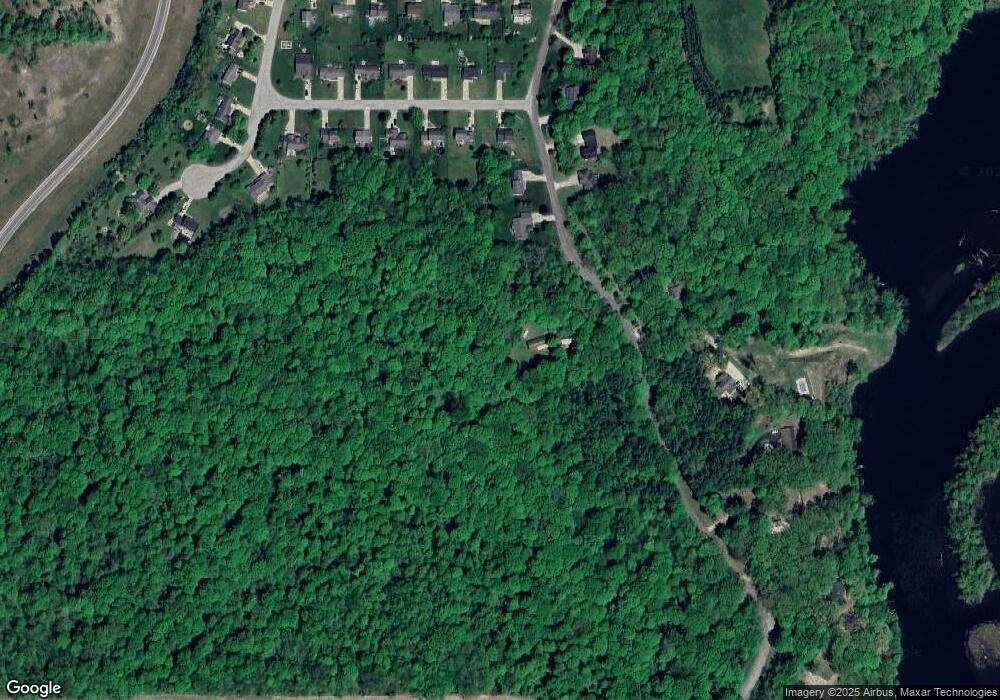
Map
Nearby Homes
- 1519 Riverside Rd
- 1386 Riverside Rd
- 2710 W Winn Rd
- 2917 White Oaks Ridge
- 0 White Oaks Ridge Unit 25034246
- 1380 Camp Rd
- 3004 White Oaks Ln
- 0 Rd
- 824 N Philip Rd
- 1478 Valley View Dr Unit Lot 8
- 1491 Valley View Dr
- 103 Lexington Pointe Dr
- 143 Lexington Pointe Dr
- 0 Drew Dr Unit Lot 29 25001527
- 0 Drew Dr Unit Lot 22 25001525
- 0 Drew Dr Unit Lot 31 25001523
- 334 Shamrock Dr
- 134 Lexington Pointe Dr
- V/L Scenic View Dr
- 123 Saratoga Ln
- 1920 Riverside Rd
- 1801 Riverside Rd
- 1930 Riverside Rd
- 1929 Riverside Rd
- 2330 Daniel St
- 1939 Riverside Rd
- 2340 Daniel St
- 1789 Riverside Rd
- 2350 Daniel St
- 2360 Daniel St
- 1949 Riverside Rd
- 2370 Daniel St
- 1759 Riverside Rd
- 2321 Daniel St
- 2341 Daniel St
- 2380 Daniel St
- 1959 Riverside Rd
- 2351 Daniel St
- 1699 Riverside Rd
- 2390 Daniel St