1693 Highway 15 Brownton, MN 55312
Estimated Value: $231,000 - $261,000
1
Bed
1
Bath
1,288
Sq Ft
$193/Sq Ft
Est. Value
About This Home
This home is located at 1693 Highway 15, Brownton, MN 55312 and is currently estimated at $248,448, approximately $192 per square foot. 1693 Highway 15 is a home located in McLeod County with nearby schools including GFW Elementary School (PreK-5th Grade), GFW Intermediate School (Grade 4-6), and G.F.W. Sr..
Ownership History
Date
Name
Owned For
Owner Type
Purchase Details
Closed on
Nov 19, 2021
Sold by
Donahue Thomas H
Bought by
Kesler Nathaniel J
Current Estimated Value
Home Financials for this Owner
Home Financials are based on the most recent Mortgage that was taken out on this home.
Original Mortgage
$200,450
Outstanding Balance
$183,830
Interest Rate
3.05%
Mortgage Type
New Conventional
Estimated Equity
$64,618
Purchase Details
Closed on
Sep 19, 2012
Sold by
Donahue Thomas H and Donahue Thomas
Bought by
Donahue Thomas H and Donahue Arlene F
Create a Home Valuation Report for This Property
The Home Valuation Report is an in-depth analysis detailing your home's value as well as a comparison with similar homes in the area
Home Values in the Area
Average Home Value in this Area
Purchase History
| Date | Buyer | Sale Price | Title Company |
|---|---|---|---|
| Kesler Nathaniel J | $211,000 | None Available | |
| Donahue Thomas H | -- | -- |
Source: Public Records
Mortgage History
| Date | Status | Borrower | Loan Amount |
|---|---|---|---|
| Open | Kesler Nathaniel J | $200,450 |
Source: Public Records
Tax History Compared to Growth
Tax History
| Year | Tax Paid | Tax Assessment Tax Assessment Total Assessment is a certain percentage of the fair market value that is determined by local assessors to be the total taxable value of land and additions on the property. | Land | Improvement |
|---|---|---|---|---|
| 2024 | $1,870 | $229,100 | $135,000 | $94,100 |
| 2023 | $2,048 | $229,100 | $135,000 | $94,100 |
| 2022 | $1,404 | $205,000 | $135,000 | $70,000 |
| 2021 | $1,652 | $148,700 | $103,700 | $45,000 |
| 2020 | $1,188 | $150,800 | $103,700 | $47,100 |
| 2019 | $1,122 | $124,600 | $94,300 | $30,300 |
| 2018 | $1,146 | $0 | $0 | $0 |
| 2017 | $952 | $0 | $0 | $0 |
| 2016 | $880 | $0 | $0 | $0 |
| 2015 | $796 | $0 | $0 | $0 |
| 2014 | -- | $0 | $0 | $0 |
Source: Public Records
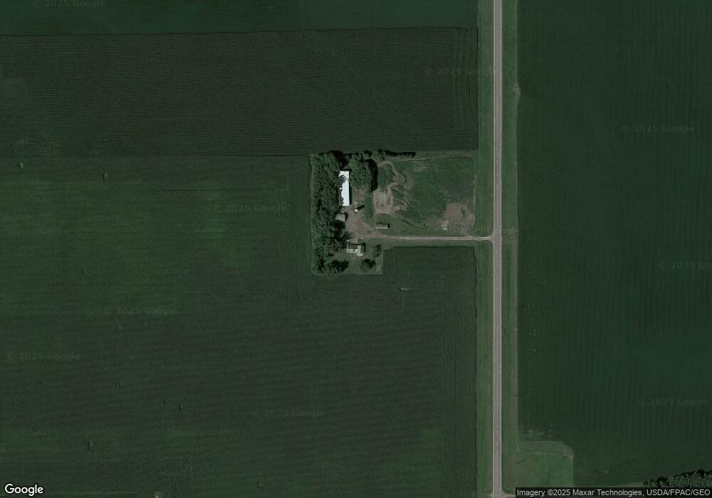
Map
Nearby Homes
- Lot 1 Minnesota 15
- xx Lot 1 Minnesota 15
- XXX US Hwy 212
- xxx Lot 2 Us Hwy 212
- Lot 2 U S Highway 212
- 7612 Plum Ave
- 221 3rd Ave S
- 122 2nd Ave S
- xxx Lot 3 Division St W
- 905 N Carver St
- 805 N Renville St
- 202 W 8th St
- 531 2nd St N
- 801 N Carver St
- 304 1st Ave N
- 705 Carver St N
- 752 2nd St N
- 609 E 8th St
- 237 5th St N
- 706 Highland Dr
- 1504 Highway 15
- 1504 Highway 15
- 1504 Highway 15
- 1504 Highway 15
- 19589 20th St
- 19589 20th St
- 1251 Highway 15
- 2475 Highway 15
- 1763 Tagus Ave
- 1763 Tagus Ave
- 1763 Tagus Ave
- 1763 Tagus Ave
- 1763 Tagus Ave
- 1763 Tagus Ave
- 1763 Tagus Ave
- 1763 Tagus Ave
- 1763 Tagus Ave
- 1763 Tagus Ave
- 1763 Tagus Ave
- 18257 20th St