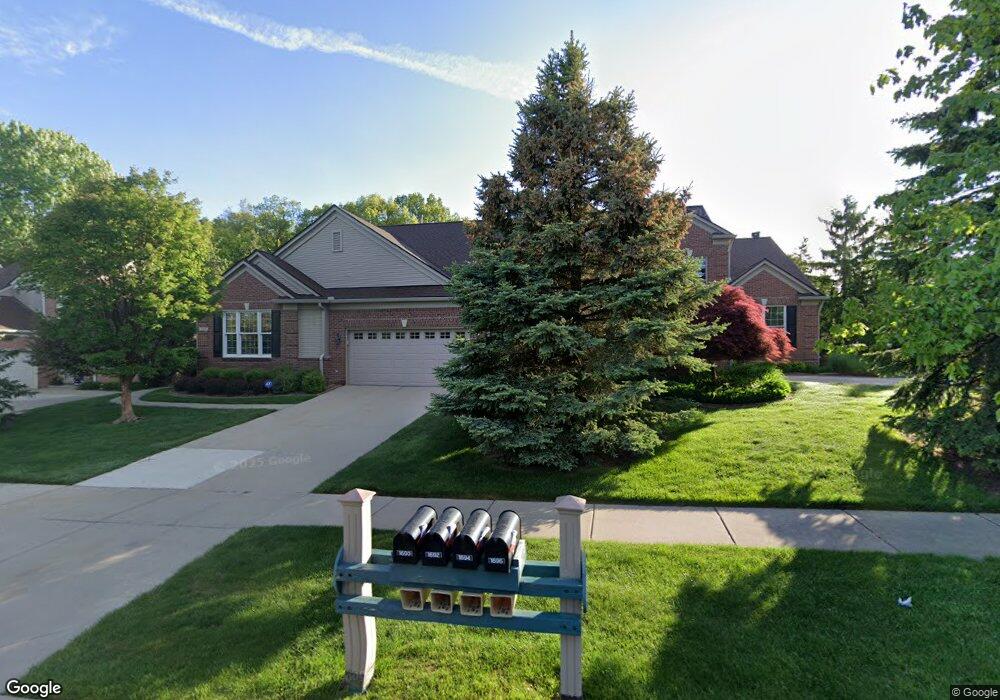
1694 Maple Creek Ct Rochester, MI 48306
Estimated Value: $505,080 - $542,000
2
Beds
3
Baths
1,916
Sq Ft
$274/Sq Ft
Est. Value
About This Home
This home is located at 1694 Maple Creek Ct, Rochester, MI 48306 and is currently estimated at $525,020, approximately $274 per square foot. 1694 Maple Creek Ct is a home located in Oakland County with nearby schools including Hart Middle School, Hugger Elementary School, and Stoney Creek High School.
Ownership History
Date
Name
Owned For
Owner Type
Purchase Details
Closed on
May 16, 2025
Sold by
Revocable Living Trust Of Frederic W And and Fayle Frederic W
Bought by
Nowicki Michael Donald and Nowicki Barbara Ann
Current Estimated Value
Purchase Details
Closed on
Jul 9, 2017
Sold by
Fayle Frederic W and Fayle Diane R
Bought by
Diane Frederic W and Diane R Fayle Revocable L
Purchase Details
Closed on
Apr 27, 2000
Sold by
Pulte Land Dev Corp
Bought by
Pulte Homes Of Mi
Create a Home Valuation Report for This Property
The Home Valuation Report is an in-depth analysis detailing your home's value as well as a comparison with similar homes in the area
Home Values in the Area
Average Home Value in this Area
Purchase History
| Date | Buyer | Sale Price | Title Company |
|---|---|---|---|
| Nowicki Michael Donald | $535,000 | Capital Title | |
| Nowicki Michael Donald | $535,000 | Capital Title | |
| Diane Frederic W | -- | None Available | |
| Pulte Homes Of Mi | -- | -- |
Source: Public Records
Mortgage History
| Date | Status | Borrower | Loan Amount |
|---|---|---|---|
| Closed | Pulte Homes Of Mi | -- |
Source: Public Records
Tax History Compared to Growth
Tax History
| Year | Tax Paid | Tax Assessment Tax Assessment Total Assessment is a certain percentage of the fair market value that is determined by local assessors to be the total taxable value of land and additions on the property. | Land | Improvement |
|---|---|---|---|---|
| 2024 | $4,560 | $224,820 | $0 | $0 |
| 2023 | $4,367 | $205,160 | $0 | $0 |
| 2022 | $4,645 | $195,650 | $0 | $0 |
| 2021 | $4,364 | $192,010 | $0 | $0 |
| 2020 | $4,098 | $185,240 | $0 | $0 |
| 2019 | $4,505 | $180,650 | $0 | $0 |
| 2018 | $4,499 | $185,900 | $0 | $0 |
| 2017 | $4,411 | $184,460 | $0 | $0 |
| 2016 | $4,271 | $178,870 | $0 | $0 |
| 2015 | -- | $158,870 | $0 | $0 |
| 2014 | -- | $138,740 | $0 | $0 |
| 2011 | -- | $115,530 | $0 | $0 |
Source: Public Records
Map
Nearby Homes
- 1983 Dunham Dr
- 1322 Copper Cir Unit 26
- 1955 Clearwood Ct Unit 665
- 6230 Winkler Mill Rd
- 1600 Mill Race
- 628 Springview Dr Unit 120
- 2156 Willow Cir
- 2423 Buckthorn Dr
- 2583 Barberry Dr
- 674 Springview Dr
- 2113 Marissa Way Unit 99
- 877 Quarry
- 2632 Hawthorne Dr S
- 1985 Monarch Dr Unit 7
- 54673 Marissa Way Unit 93
- 861 Quarry
- 2282 Kingscross Dr
- 54782 Whitby Way
- 620 Appoline Ct
- 54660 Whitby Way
- 1690 Maple Creek Ct Unit 60 119
- 1690 Maple Creek Ct Unit 119
- 1690 Maple Creek Ct Unit CRT
- 1970 Dunham Dr
- 1961 Dunham Dr Unit 93
- 1982 Dunham Dr
- 1685 Maple Creek Ct
- 1958 Dunham Dr
- 0 Mill Race Unit 28093362
- 0 Mill Race Unit 29052874
- 00 Mill Race
- 0 Mill Race Unit 213057479
- 0 Mill Race Unit 213204845
- 0000 Mill Race
- 2 Mill Race
- 0 Mill Race
- 3 Mill Race
- 1 Mill Race
- 4 Mill Race
- 0 Mill Race Unit R212124017