16940 Dakota Dr Leavenworth, KS 66048
Estimated Value: $702,000 - $1,024,804
5
Beds
6
Baths
5,464
Sq Ft
$164/Sq Ft
Est. Value
About This Home
This home is located at 16940 Dakota Dr, Leavenworth, KS 66048 and is currently estimated at $896,268, approximately $164 per square foot. 16940 Dakota Dr is a home located in Leavenworth County with nearby schools including David Brewer Elementary School, Richard Warren Middle School, and Leavenworth Senior High School.
Ownership History
Date
Name
Owned For
Owner Type
Purchase Details
Closed on
Apr 4, 2024
Sold by
Denney Duane L and Denney Kathleen A
Bought by
Duane And Katie Denney Family Living Trust and Denney
Current Estimated Value
Purchase Details
Closed on
Dec 1, 1999
Bought by
Denney Duane L and Denney Kathleen A
Home Financials for this Owner
Home Financials are based on the most recent Mortgage that was taken out on this home.
Original Mortgage
$210,862
Interest Rate
7.75%
Mortgage Type
New Conventional
Create a Home Valuation Report for This Property
The Home Valuation Report is an in-depth analysis detailing your home's value as well as a comparison with similar homes in the area
Home Values in the Area
Average Home Value in this Area
Purchase History
| Date | Buyer | Sale Price | Title Company |
|---|---|---|---|
| Duane And Katie Denney Family Living Trust | -- | None Listed On Document | |
| Denney Duane L | $5,000 | -- |
Source: Public Records
Mortgage History
| Date | Status | Borrower | Loan Amount |
|---|---|---|---|
| Previous Owner | Denney Duane L | $210,862 |
Source: Public Records
Tax History Compared to Growth
Tax History
| Year | Tax Paid | Tax Assessment Tax Assessment Total Assessment is a certain percentage of the fair market value that is determined by local assessors to be the total taxable value of land and additions on the property. | Land | Improvement |
|---|---|---|---|---|
| 2025 | $11,639 | $114,881 | $17,981 | $96,900 |
| 2024 | $11,663 | $110,463 | $16,102 | $94,361 |
| 2023 | $11,663 | $110,354 | $16,772 | $93,582 |
| 2022 | $10,104 | $97,693 | $12,616 | $85,077 |
| 2021 | $7,184 | $66,347 | $12,126 | $54,221 |
| 2020 | $6,792 | $62,591 | $11,781 | $50,810 |
| 2019 | $6,575 | $59,953 | $11,436 | $48,517 |
| 2018 | $6,644 | $59,953 | $10,516 | $49,437 |
| 2017 | $6,904 | $59,953 | $10,401 | $49,552 |
| 2016 | $6,922 | $59,953 | $10,360 | $49,593 |
| 2015 | $6,897 | $59,953 | $10,360 | $49,593 |
| 2014 | $6,748 | $58,961 | $10,360 | $48,601 |
Source: Public Records
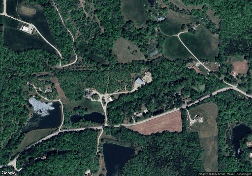
Map
Nearby Homes
- 17051 Mount Olivet Rd
- 1927 Pottawatomie St
- 1919 Seneca St
- 1933 Cherokee St
- 1844 Ottawa St
- 1835 Miami St
- 401 S 20th St
- 501 S 20th St
- 318 N 18th St
- 2101 Spruce St
- 1815 Cherokee St
- 1706 Ottawa St
- 1611 Kiowa St
- 503 Limit St
- 1964 Eisenhower Rd
- 204 N 17th St
- 1051 N 16th St
- 419 Topeka Ave
- 1503 Kiowa St
- 1416 Kiowa St
- 16992 Dakota Dr
- 16854 Dakota Dr
- 30274 171st St
- 16776 Dakota Dr
- 16937 Dakota Dr
- 16758 Dakota Dr
- 16670 Dakota Dr
- 16722 Dakota Dr
- 30446 172nd St
- 30458 172nd St
- 4017 Dakota St
- 30382 172nd St
- 30600 172nd St
- 30352 172nd St
- 16755 Dakota Dr
- 16666 Dakota Dr
- 30176 171st St
- 30373 172nd St
- 17170 Dakota Dr
- 30525 172nd St